Isolated. Except it isn’t, really. But it is.
Mt Isolation, Pinkham’s Grant, NH. 2018-04-12. (Thursday)
Via Rocky Branch trail, Isolation trail, and Davis Path. Approx 14.5 miles.
35 dF +/- at the trailhead, 46 dF at the summit, with negligible winds.
Partly cloudy becoming outright cloudy.
Trailhead: 0830; Summit: 1410; back at car: 1730. (9 hours.)
Second time was the charm.
Last time I attempted Isolation, I was rebuffed, but it didn’t matter. Really, anger and disappointment were the furthest things from my mind. I was just jazzed because I was outside tramping around on a sunny day with good weather. What’s not to like about that?
Today, there was a point where I was thinking I might have to turn around. And that bothered me. Maybe the second time trying something, maybe the self imposed schedule to get the 48 done by 4th of July. Maybe that I hadn’t summited something last time.
Cosmically, it doesn’t matter. I think back to the people who cut these trails 100 years ago, and they didn’t have a fancy list. They just hiked because they had to.
Weather reports were showing a storm moving in, late in the day. So I was thinking about that a lot. I truly didn’t want to get stuck in the rain, hours away from my car. That just wouldn’t have been cool. And in those moments when I felt like “what the hell am I doing?”, it was a motivator. Snow was melting, and because it was balling terribly under my Microspikes, I transitioned to snowshoes before long and made much better progress.
The AMC book says you follow Isolation Trail by following the Rocky Branch. The guy at the Pinkham’s Notch Visitor Center that I asked earlier in the week said much the same thing. There are a lot of large boulders and plenty of snow bridges. But it necessitates a lot of going from left bank to right, and a lot of bushwhacks if you want to keep moving forward. Don’t do this. Also, know that when the USFS says “the trails ain’t marked”, I’m not sure I saw a single blaze that wasn’t for the ski trail way down near the bottom.
On my approach to Rocky Branch, there was a sign, announcing the start of the wilderness area. Shortly afterwards, there was a broken out trail to the right, but it didn’t seem to go anywhere. So I laid a stick across the trail and kept doing what I knew, which was to go to the Rocky Branch and follow upstream. And bushwhack. For an eternity. Plenty of those “what the hell am I doing” moments were had.
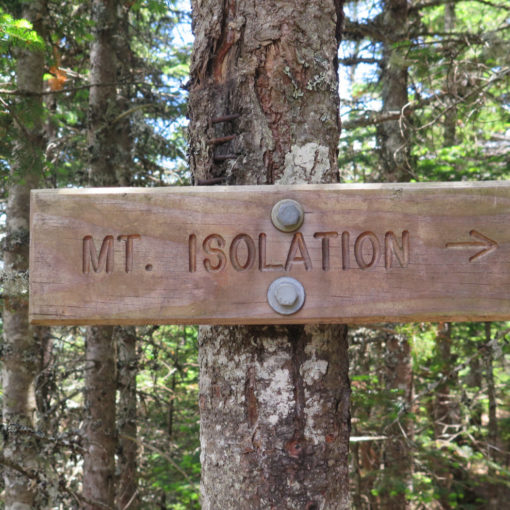
I eventually made the Davis Path, which was very nicely broken out, two snowshoes wide and solid. Shortly thereafter, I passed a sign that said “Mt Isolation” near the summit. (The curiosities I see on the trail are sometimes funny. “Lest you forgot which mountain you climbed today…”) That last dash was *steep*, but the views from the top were quite nice indeed. Mt Washington was within arm’s reach, and through the increasing haze, I’m fairly sure I saw Lincoln and Lafayette. But that told me I had to boogie — the forecast was for PM rain.
Looking at the map, I saw Davis Path ran all the way down to the Pinkham Notch Visitor’s Center, and I figured I’d rather follow that and hike back on the road to my car than slog back down the river. So I went.
And after a couple hours, I crossed a stick, that I had laid across the beginning of a side trail some hours earlier, that was just a short bit above the sign announcing the start of the wilderness area.
I did lay that, and another stick, in an “X” across the trail leading to the river. If you’re passing that way, know that down the trail to the river lies madness. But if you take that right, you’ll be at the summit about an hour faster than I was.
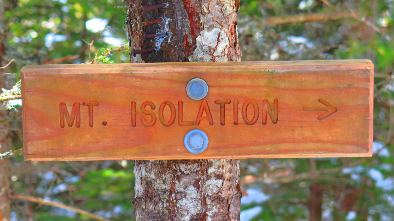
You know you’re about 25 yards from the summit when you see this sign. Should have pointed more “up”!
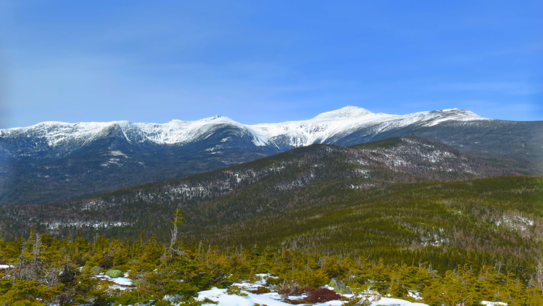
The skies were blue, but they turned to grey not long after.
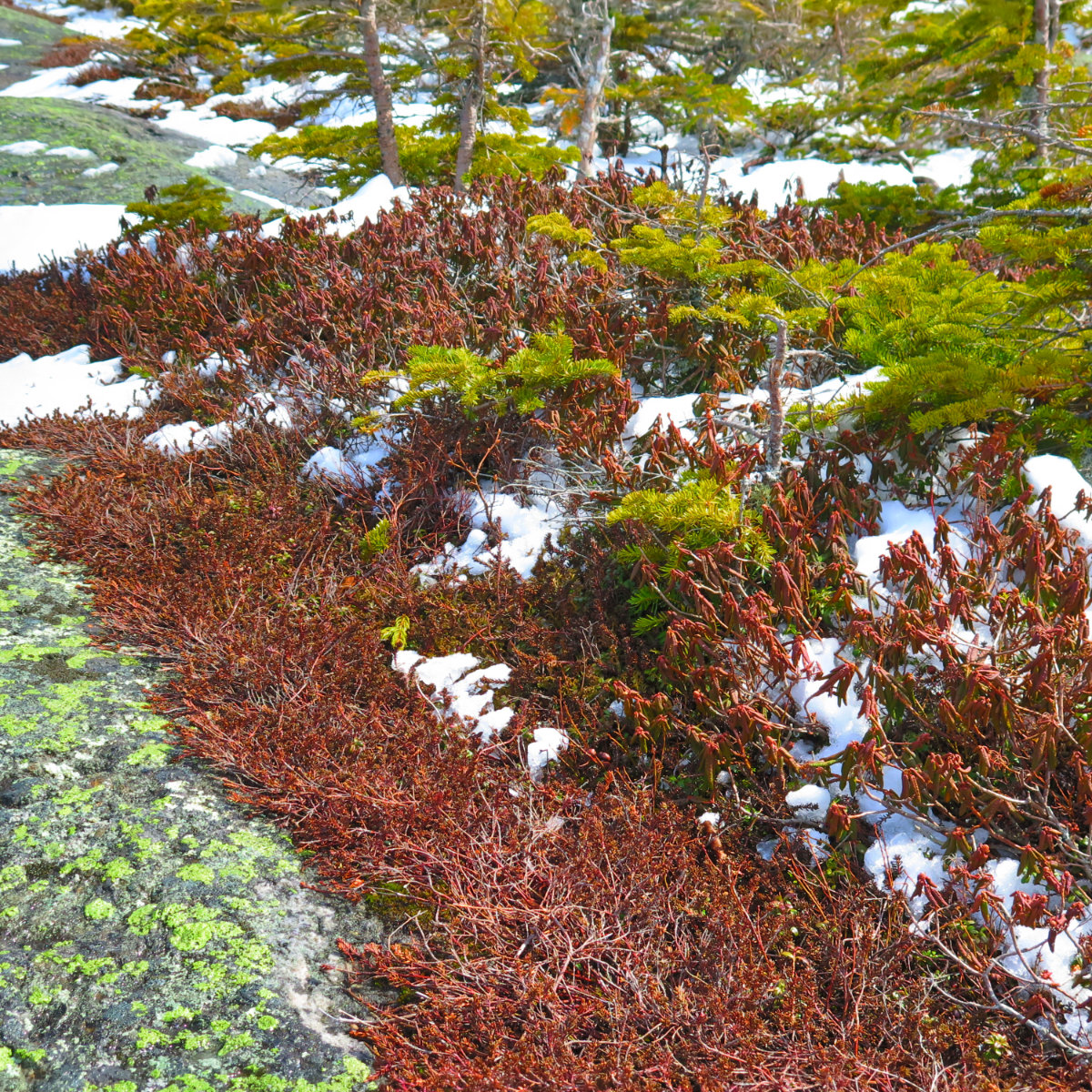
Mosses and lichens at the summit. Very fragile!
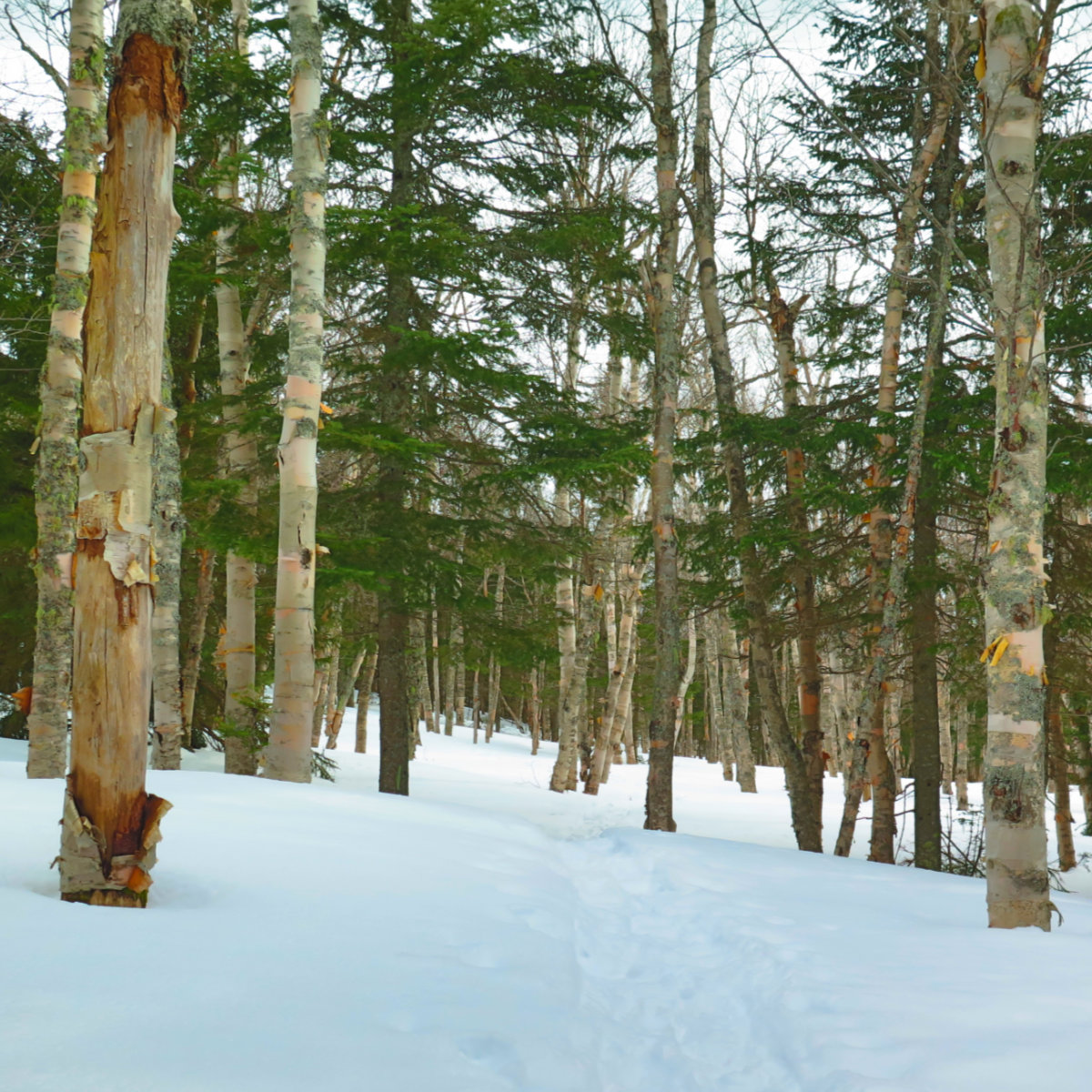
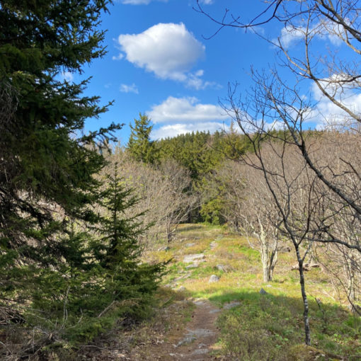
An interesting area near the bushwhack for Engine Hill. Possibly a dozen or so acres, but it seemed that each birch was paired with a closely planted spruce tree. And they were spaced out really thinly. If you take the right that I wrote about, you’ll be in this spot in a few minutes of easy walking.
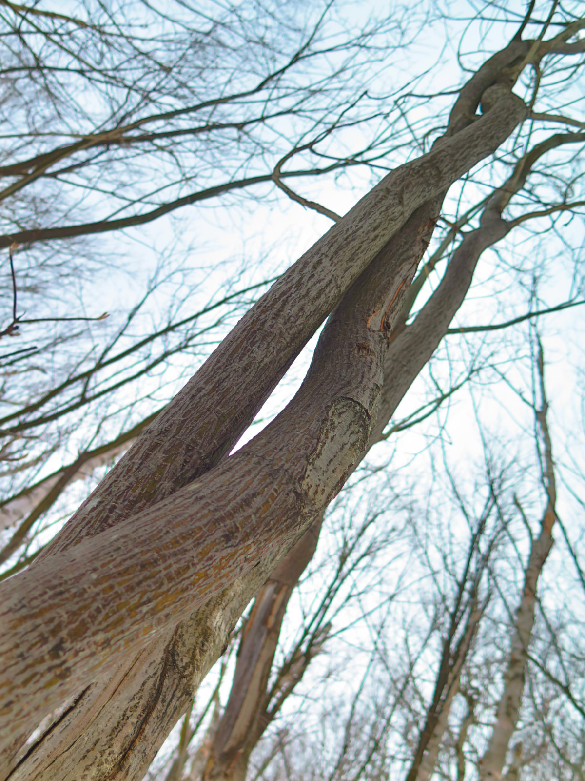
Two trees, intertwined as one.
