Mt Carrigain (4,700). Livermore, NH. 2020-06-03 (Wednesday.)
Via Signal Ridge, Carrigain Notch, and Desolation Trails. 14 mile loop.
60 dF at the trailhead, 60 dF at the summit. RH ranged around the high-90%. Winds were negligible in the trees, about 5-8 knots at the summit tower with gusts as high as 18 kts. Overcast and occasionally rainy throughout the day.
Trailhead: 1100. MOUNTAIN summit: 1600. Car: 1845.
It’s Good to be Home.
Thinking about it during the drive home, I think the best way to hike Carrigain is the long way. Indeed, at some point, I’ll likely try an even longer way, such was the good time I had today. But let me get ahead of myself, right?
Between the state starting to open things up a little, and me just not having been in the Whites for a wicked long time, I just decided it was the right moment (for me, at least) to start back on my 4,000 footer lists. Getting back into hiking the big stuff, something I’d done before would make sense. But would it be as sensible going by the back door? Obviously, it had to be tested, so off I went.
Maybe the culprit was all that hiking of low-lying stuff, where I was intentionally avoiding summits. One could also lay the blame on red-lining. Or it could have been the books on the logging railways that I’ve been reading. Either way, I’ve been fascinated by these lower trails, and coincidentally, the Sawyer River valley did indeed see some logging action.
Both the AMC book, and Smith and Dickerman’s 4000 footer guide described my intended route as steep. They both described low-lying trails as being built on old rail beds and truck roads. And so with all this in mind, I set off down the familiar Signal Ridge trail. I passed the old bifurcation that fooled me when I hiked it during my first round of the NH-48 list. The water crossing, which today was eminently passable without much issue. And then I came to the trail junction, where I headed right, down the Carrigain Notch trail, toward its namesake. My adventure had begun.
The thrill of a new trail is always there for me, and it was compounded by knowing I was heading into the Pemigewasset Wilderness. I had a strong sense that anyone today would likely be taking the short route up, and that I’d have solitude. As it turned out, I was right — I didn’t see or hear a single soul all day. Having the nearby sounds of water babbling over rocks was everything I needed. The trail was pretty flat overall, almost imperceptibly rising to height of land at Carrigain Notch. Knowing Franconia, Crawford, and Pinkham notches as the heavily travelled thoroughfares that they are, anytime I hike into a notch, it feels like I’m in some kind of secret hiding place. I’m OK with that.
Reaching the junction with Nancy Brook trail, I paused to think about the day when I’ll explore that area. Just thinking about seeing the four ponds, bushwhacking my way to the top of those mountains… yeah, I can’t wait. I pressed on, and reached the junction with Desolation trail.
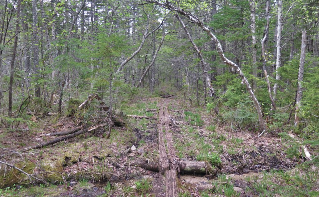
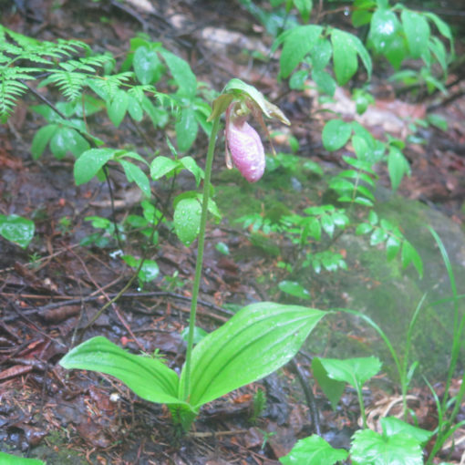
I’m a bit unsettled about the name of that trail. The area very evidently has felt the woodsman’s axe. Trails around there are bolt-straight in many areas. I could easily see the old road-bed even though the forest is trying to take it all back; the human hand is at least evident there. (And that’s setting aside things like puncheon, trail signs, and even stepping stones through mud puddles.) And the forest itself just felt welcoming in a way that “desolation” feels cold and off-putting. It was vibrant, with greenery everywhere and a cacophony of birds and critters. I don’t, obviously, get to name things, so there it is. But yeah, despite being behind the mountain, it didn’t feel like I was on another planet. Just a bit off the more worn path is all.
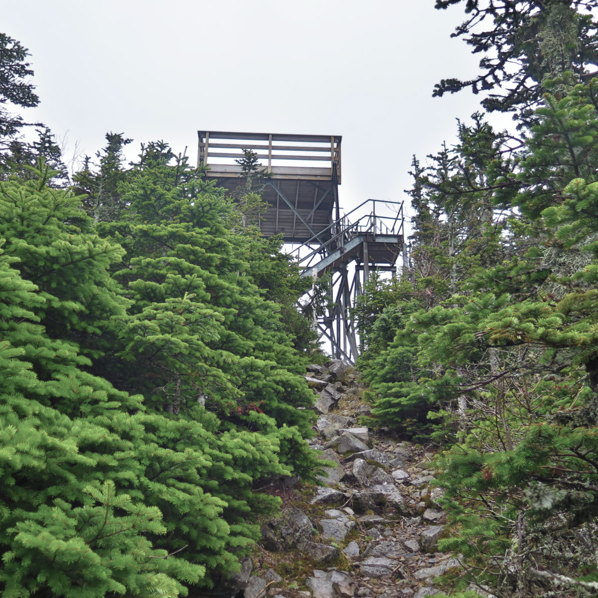
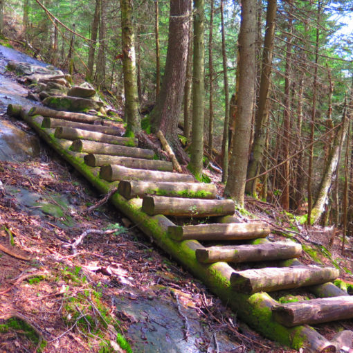
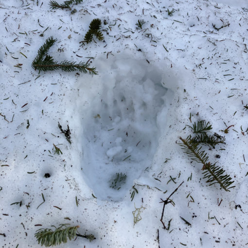
The books both describe the upper reaches of Desolation as steep. Let me clarify: it’s steep in the way that a ladder is, and a rolling hill isn’t. There were plenty of places where I was going hand and foot. Plenty of places where my quads were on fire. Plenty of places where I looked out, and saw treetops just a short distance away… below me. Yikes! And as if that wasn’t enough, the upper thousand feet or so featured snow and ice. Whatever ease of travel I enjoyed getting to the bottom of the trail, I more than paid back by the time I set foot on the summit. It was a long and hard hour later when the observation tower came into view.
I did indeed climb the tower. Obviously, there are no pictures, because there was no view. But that said, it was neat to be up in the wind that I’d been listening to all afternoon, sighing through the trees above. Not all of a mountain is seen. Crossing Signal Ridge, I had a brief hole in the clouds where I could see a very clipped view. And to be true, it didn’t matter. I turned back to the mountain, and just watched the clouds get whipped around as they were blown here and there. No kidding, I could have sat there for an hour, just mesmerized by the sight. But evening was hot on my heels. If I was going to get back to the car in daylight, I’d have to beat feet.
Heading back to the car, it was a relatively short and easy hike back down Signal Ridge trail. I spent some time reflecting on the day. As hard as it was, I’m totally thrilled to have taken the chance on doing this trail. It was a lot of fun noodling around the lower section. There were a bunch of blow-downs that I sawed up, and by so doing, I “own” a little of those trails in a way that I wouldn’t if I’d just walked them. I missed seeing some stuff by being here on a cloudy day, but that’s just another excuse to come back when it’s sunny. And there’s a couple unmarked trails that called my name, yet to be explored at some point.
It was a harder trek, and it was certainly longer. But unquestionably, it was totally worth it. I won’t even think to say it’s for everyone, because not the least, that steep section is brutal, and easily one of the hardest I’ve done. But I will say that the lower sections are a destination in their own right, and even if I wasn’t red-lining, it’s a place I want to explore in greater depth. As for Carrigain itself? It remains a classic, for all the right reasons. And today, I got to see yet another one of them.
As always, stay safe out there.
Nuts and Bolts: Sawyer River Road is just south of the AMC Highland Center, on the right. The trailhead is about 2 miles down. Beware that in wintertime, that road isn’t ploughed, and a gate is closed and locked at the head of the road Wintertime hikers should budget extra time and mileage.
Trailhead will be across the road from the parking area. Be advised that you’re looking for “Signal Ridge Trail”, which is the first of two trailheads on Sawyer River Road, and just after a small bridge. Blazes are yellow, though very sporadic, and pretty much non-existent in the Wilderness Area. You will need to know what an active trail looks like in order to navigate this route. As well as that, you should always have a paper map, and a compass, in case your GPS fails you. Be skilled at using both. Also be aware that once behind the mountain, rescues (heaven forfend they become necessary) will take far longer than if you’re on the “front” of the mountain. Be self-sufficient to the greatest degree possible before choosing to hike these trails. And if in doubt, scrub the hike. The mountains will wait for you to return another time.

(Unfortunately, there was no way I’d be quick enough with my camera when I saw a bruin, about a half mile ahead of me, sprinting across the road on my drive home. The forest is alive and well!)




If you enjoy reading these posts, please subscribe — stay in the loop! Your email will only be used to alert you of new posts — typically 1-2 times per week. I will not use or share your email for any other purpose without your express permission. And feel free to share via social media using the buttons below.
10 thoughts on “Trip Report: Desolation on Mt Carrigain”
Enjoyed Desolation Trail when we did it but WoW it sure was steep as you described it and there was no snow or ice!
One of these days, I’ll have to come back when there’s no snow. That trail is worth a second visit.
I want to do this area as a backpack. Stay a couple nights and explore everything. What a beautiful picture (the 20 second wonder)! Days like that have their own charm, like once we were looking down from Bondcliff into the abyss (foggy day).
I think it’s a bad idea to think of the “viewless” days as a bad thing. You hit it on the head: they truly do have their own charm, and some of my most memorable hikes have featured clouds so thick I could hardly see past the end of my nose. I think part of it is the embrace of Type II fun.
Looks like you had a good hike! I stumbled on this as I was researching Carrigain for a hike on Friday 6/5. We went up and down Signal Ridge, considering we needed the shorter way and the less steep way. Carried our 30 lb 2.5 year old up most of it (she did some short sections on the flats and a steep section as well and then some on the ridge). It’s alot of elevation, and I didn’t quite realize it, but one of the most prominent peaks in the Whites and all New England! Hiking solo I would have definitely gone for the steep Desolation trail side. Looks like a fun trail! Love the classic Whites trails where somebody must have just said f*** it and went for a bushwhack up the steepest part and turned it into a trail later.
Also, you are so lucky, because we got SWAMPED by black flies Friday, which you didn’t mention, so I think we got the first really bad day of them.
I like how you mention the twitter of the birds. It really was so vibrant with bird calls and chipmunks and frogs all day.
I must admit that usually I don’t mention things like black flies, only because they can be transient — an overnight rainstorm or a stout wind can swing that pendulum one way or another at a moment’s notice. Best to just assume they’re going to be there, and wear bug juice when in season. Then revel in the moment if you discover they’re absent from the trail that day.
Glad you enjoyed the post! Please share it with friends, and help get more people discovering what’s out there.
The elevation caught me unawares too — same thing with South Twin and Passaconaway. You approach something like Lafayette with a sense that you’re in for something huge, but Carrigain lulls you into a sense of false security. Then you’re halfway up, realizing what’s actually in store, and that’s when you start questioning your life choices.
The far side is a committing hike, but it has a lot going for it. Be careful, though, because once you’re in the thick of it, you’re on the far side, and going back can be at least as long a walk home as going forward. That said, its rewards are huge.