Middle Carter Mountain (4,610 feet.) South Carter Mountain (4,430 feet.) 2020-10-29 (Thursday.)
Via Imp, North Carter, Carter-Moriah, Carter Dome, and 19 Mile Brook Trails. Approx. 11 miles, trailhead-to-trailhead. Includes a road-walk of approx 1 1/2 miles.
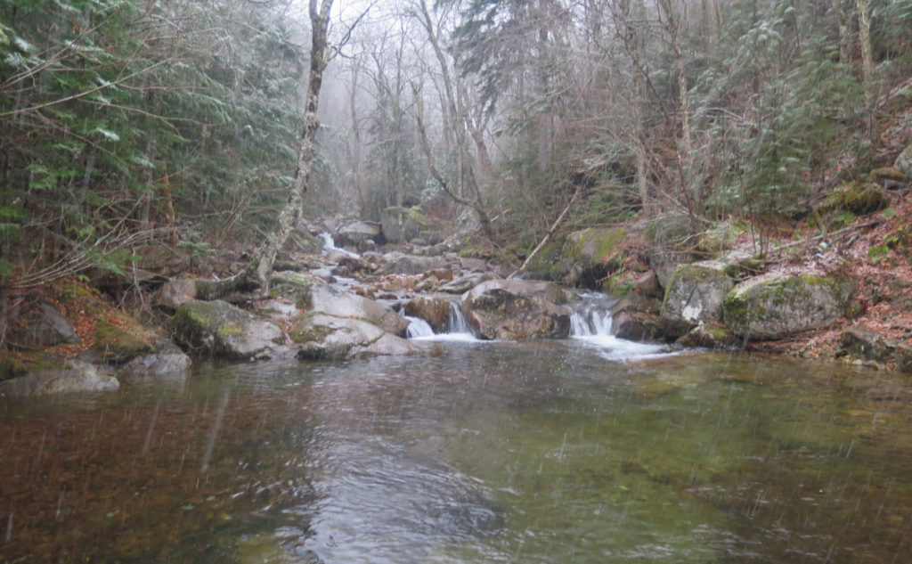
47 dF at the trailhead, Temps near freezing all along the ridge. (Thinking back, the readings are remarkably consistent, deviating by about +/- 0.1 degree, so there may have been snow on my sensor.) About 35 dF back at the car. Winds were almost non-existent all day. (Glad the MW Observatory blew that part of the forecast!) Overcast to start the day, with descending clouds as the day progressed. Snow around mid-way up the mountain, rain below.
Trailhead: 1045. Imp Face: 1215. Middle Carter summit: 1400. South Carter summit: 1510. Car: 1805. Approx 7 1/4 hours.
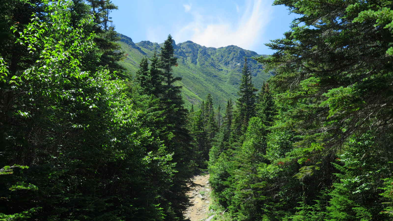
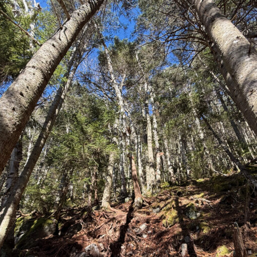
The trail is slightly different without snow!
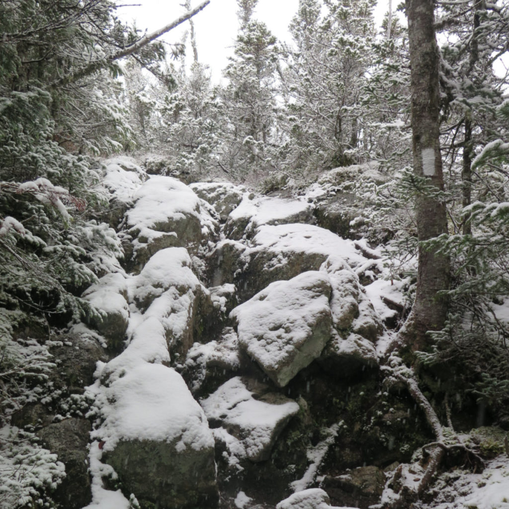
“Exciting!” is how a colleague described my day. I’m not inclined to disagree. My hopes for today’s excitement, though, trended more toward a languid summer afternoon, sharing intimate conversation with dear friends. Somehow, wires got crossed, and instead, I got a cold, wet, snowy day. And rocks. Wow, no shortage of rocks. I must’ve forgotten about that last detail.
And yet, looking back at my trail reports from those peaks, either I went up Imp Trail the other way, or I hiked either of the two peaks when the trail was paved with snow. Or it was my traverse, and that was a different brand of pain, so probably not applicable. Just goes to show, it’s worth doing the trails in all the seasons, so you remember the stuff you forgot. Wow, that sounds like a Yogi Berra-ism.
I made the smart choice of parking at the southernmost of the two Imp trailheads. My plans were to do Imp Face going up, and bag the summits. Then on the return, my plans were to either return and descend by the southern side of Imp, or to come back down via 19 Mile Brook, and then road-walk back to the car. Either I’d return directly to my car, or I’d have a shorter walk back. Starting out the day with a comparatively simple walk up the road, I was at the northern trailhead after hardly a half mile. Little did I know how much it would matter, getting that half mile out of the way early. Just imagine not having to walk that extra bit when you’re tired. Right?
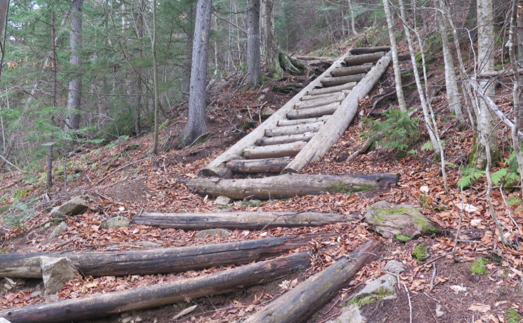
Starting out, the trail wasn’t rough. Indeed, it was pretty gentle for almost a mile. But then, a crossing of Imp Brook, and after that, the fun began with the trail pitching upward pretty robustly. It wasn’t hard per se, but it did get me breaking a sweat. Last time I did Imp, it was widdershins, where I descended the northern side. Now, I was climbing up a moderately rocky trail. So far, it was damp from previous rains, but not overly wet, and so footing was fine for the most part. But by the time I was nearing the ledges, I began seeing the first tentative flakes flying. Sadly, denial didn’t work. They kept coming despite my best efforts to pretend it wasn’t snowing.
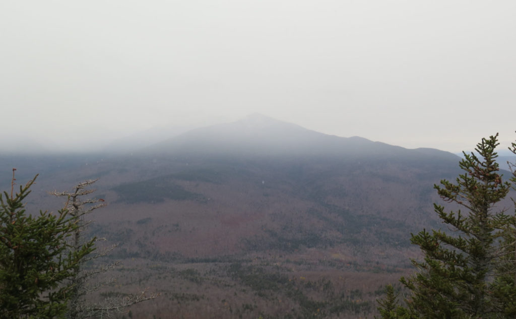
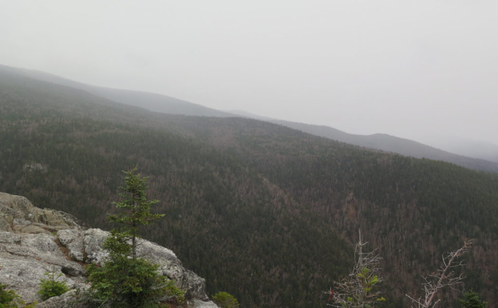
The view from Imp Face was better this time, which was certainly nice. (But they weren’t just of the bigger mountains across the way.)
The forecast called for clouds overhead, but an otherwise clear view for the morning. And for the most part, I got it. Madison’s upper reaches were cloaked in clouds, but certainly in the valley below, it was plenty clear. Interestingly, the line between the clouds overhead and the clearer air below was pretty crisp and well-defined. Where I was up high, near that change in layers, it was especially obvious, and it was pretty cool seeing that phenomenon. That said, it wasn’t like I could see massive air movements going on, so the fascination was only going so far.
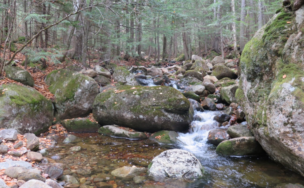
More fascinating though, because the leaves had fallen, looking southeast, I could directly view Imp Brook as it cascaded down the mountain, far below my feet. Even as far away as I was, the roaring of the rushing water was very loud, and unmistakable. Wow! The AMC map doesn’t show the “wye” — it’s bifurcated in the upper half, as it drains either side of a shoulder that more-or-less splits North and Middle Carter. From where I stood, though, the hydrology of the mountain was bared. Neat! (When you look at the map, mentally draw a small “C” that crosses the Imp Trail’s uppermost reaches, and make the brook look like a wishbone that points west.)
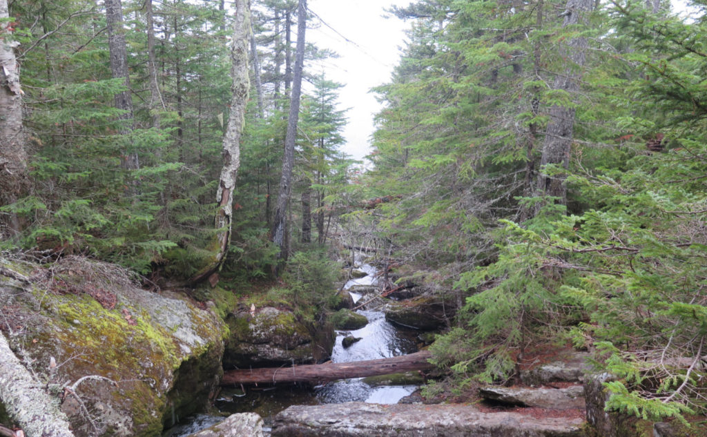
Bearing in mind that it took longer than expected to get there, I pressed on. The snow was getting more robust, and I sensed a greater need to make time. I crossed both arms of the upper end of Imp Brook with a simple hop, but not without contemplating the water cascading below. It’s a bit of a shame, but you can’t really see those cascades. There’s enough, though, to suggest they’d look pretty stunning, were the trees to clear away after a landslide or something.
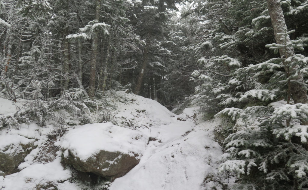
As I ascended North Carter Trail, the snow and ice on the footpath got to a point. It’s that time of year again, and so I donned my Micro Spikes. (The Bard put it well when he penned “Summer’s lease hath all too short a date” in his 18th sonnet. That’s OK: due to the scheduling of spring, winter will only last about 91 days this year.) On the way up, this was a fine choice. Crossing the ridge, and then later descending, I ended up having persistent, nagging, annoying, problems with snow balling up underfoot. Not bad enough that it was snowing, but the balling slowed me down very measurably. Step, step, step, stomp-scrape-curse. Lather, rinse, repeat. I can’t wait for the snow to consolidate, and become something where snowshoes are useful.
I’m having trouble recalling, but I think I crossed Mt Lethe. My memory is a bit hazy on this one… being dead tired doesn’t make it easy. OK, moving on.
Those subtle summit humps…
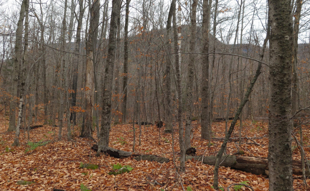
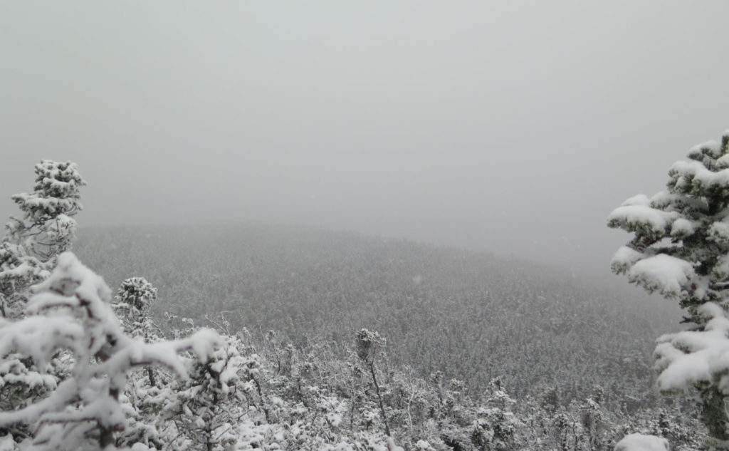
It happened before, and it did so today: I walked past the summit of Middle Carter. But then turning around, I noticed a small cairn to the west side of the trail. And across from that was a small cut leading to a vista. Rapidly descending clouds were curtailing the view, but I did get to see something more than just fog. I briefly contemplated the hikes I did over the past couple weeks, coming up from the south, as I gazed down into the Wild River Wilderness. If I’m not doing the AT next summer (or afterward, if I am) I want to explore that area more. My overwhelming sense from last week’s brief foray is that there’s some stuff to be seen down there.
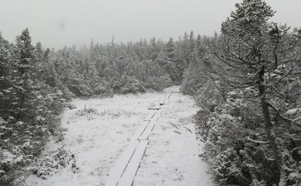
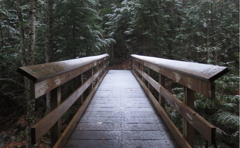
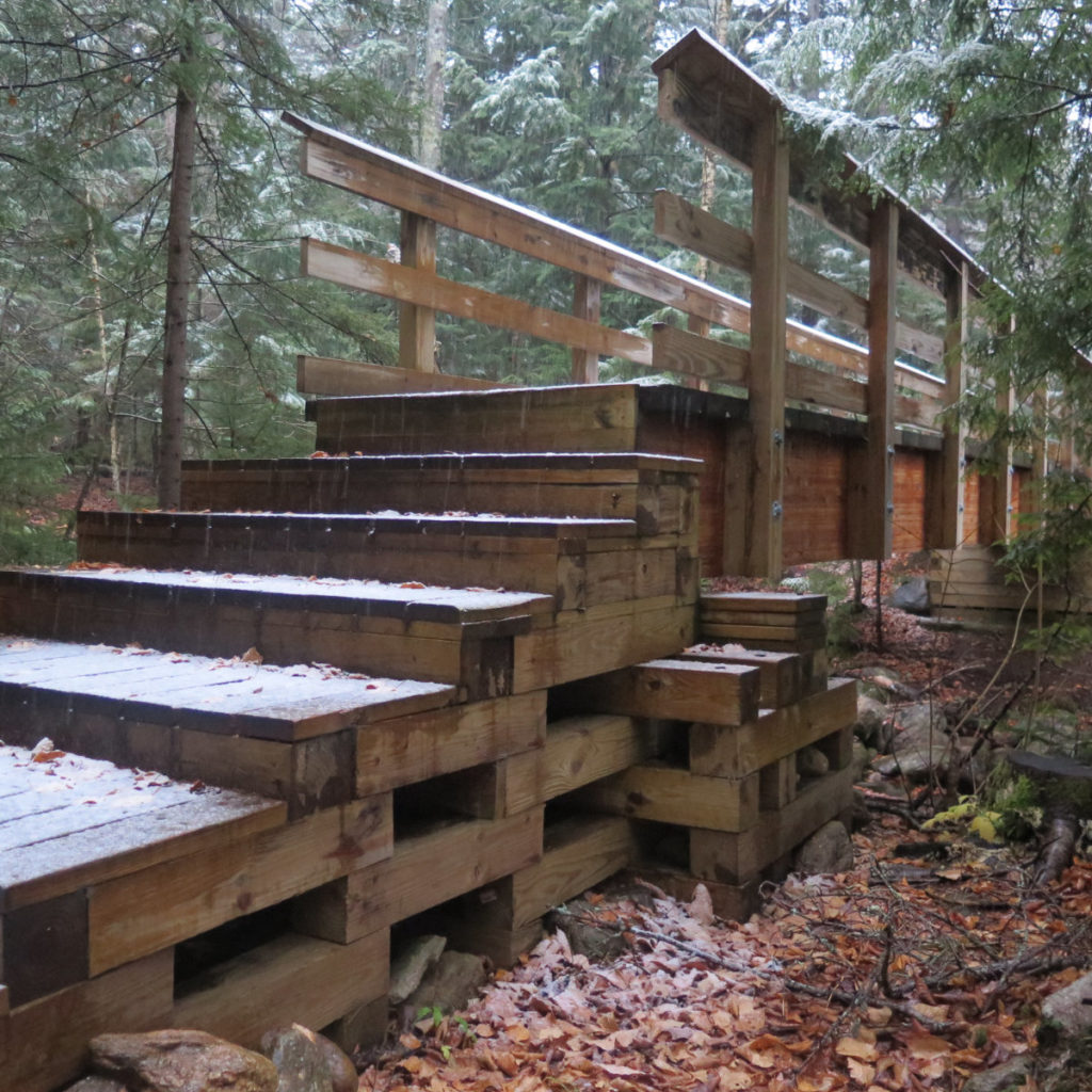
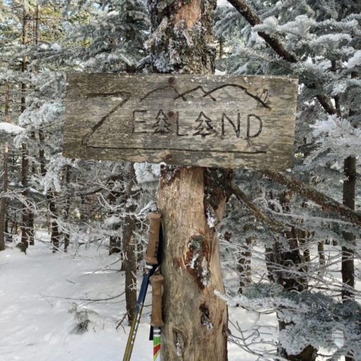
Crossing the col, the profundity of the snow finally hit me. Up until that point, it was “variably sticky” depending on whether there was vegetation, cold ground, or whatnot. And the green tunnel was doing its thing, too. But there’s a spot on the col were a bunch of bog bridge crosses a wide open area, and it was a winter wonderland, for sure. I have a sense the current snow isn’t going to stick around long, but nonetheless, it’s served its purpose to bang that stake in the ground: summer is gone. Winter is in the on-deck circle. (Then again, winter’s arrival means it’s not long before we can kick 2020 to the curb.)
I’d been hiking mostly on my own. Starting out, a young fellow ascended Imp from the southern leg. Just before I hit the ledges, he came down the trail and passed me, obviously making quick time. That was the last person I saw… until I was greeted by someone’s canine companion playing the role of “advance team.” Pretzel’s dad came along with his two pals, all from Massachusetts, and we shared a few thoughts. They advised the 19 Mile Brook trail was a fine option, which cemented it for me. I’d been already thinking a lot about the rough footing, and the idea of having to retrace my steps, climbing up and over Middle Carter and Mt Lethe, just didn’t feel all that attractive to my already tired legs. The snow and the rocks were taking an unusually hefty toll, and I wanted an easy return at that point. So it was a bit of a boost to hear my plans weren’t outrageous. (Hey guys, it was really cool meeting you, and I look forward to when our paths cross again.)
I carried on to South Carter. One thing that I seem to have glossed over in my previous reports is that the ridge trail is rockier than I might want to remember. In trail runners on a clean trail, it’s probably not the drag that I experienced today with the snow. But even now, I’m remembering doing the traverse, and an AT hiker was bemoaning the rocks, mentioning “Grandma Gatewood and Earl Schaefer didn’t have it this bad!” (Yeah? They didn’t have modern, lightweight gear, or waterproof-breathable fabrics, either. Carbon fiber was still decades away.) Did I mention the snow balling underfoot, and what a royal pain in the neck it was?
On South Carter, the summit was more easily discernible. Clouds were seriously attenuating the view at this point, so I didn’t feel a particular need to spend a lot of time noodling around. But I did have my two summits — I’m now 33 peaks into my autumn list. It’ll probably require a couple extra trips each week to nail down the 48 this season, but it’s very likely doable without too much craziness.
While racing down, I still managed to get distracted…
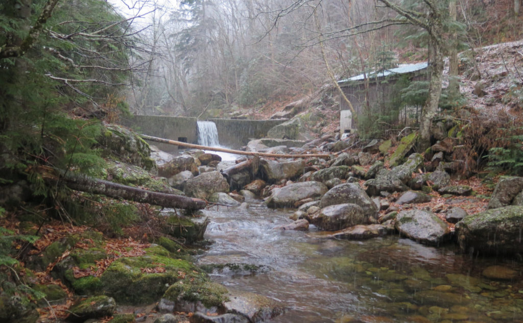
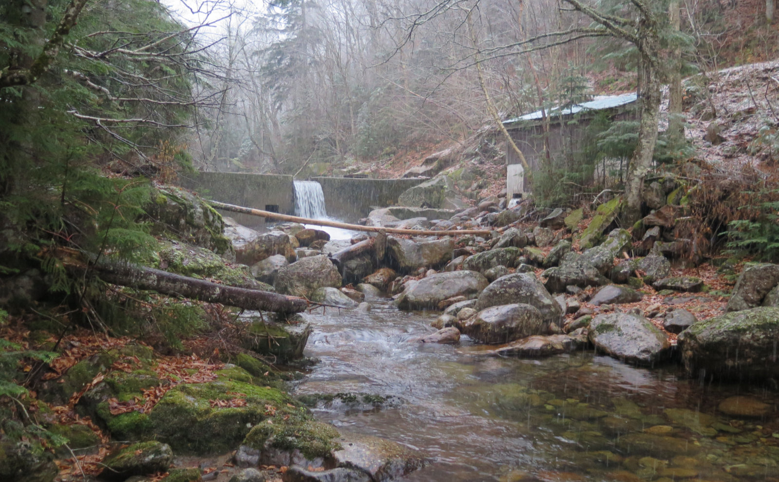
Heading down for real at this point, the balling eased as I descended. Probably around half-way, the snow slowly gave way for dirt, and my last couple miles or so, I was able to move much more quickly. Darkness was coming, and I wanted to be back at the trailhead. I did, however, make a quick stop at the dam, that’s about a mile and a quarter from the road. I wasn’t able to find much about it in any of my AMC guides, but I did find a couple things.
First, it’s apparently a source of fire-suppression water for the Glen House. I’ve not got a real sense of veracity on that one, but it could very well be. Apart from that, my 1972 AMC guide mentions that the Aqueduct Path, which is mentioned as far back as the 1931 guide, is “now closed.” So there’s some sort of aqueduct involved. I’ll be digging a bit more as time goes on, and maybe even putting boots on the ground on that path — there’s mention that it might be open for a fee. Stay tuned.
Below that, the trail got a whole bunch easier. I was tired, so this was welcome relief. I still had a 20-ish minute long walk back to the car, and at this point, the snow had turned to rain. But at last, I was in the car, heat going full blast. A stop at Dunk’s in Gorham for some coffee, and I was on my way home.
It was a long, cold day. One of the things that gave me pause… it struck me that the weather was pretty dangerous. Temps weren’t crazy cold at all, and to that end, I was moderately dressed in shirtsleeves and a vest, without feeling like I was going to freeze. But the snow did indeed turn to rain, and I got wet. I had dry stuff in my pack, but if I got seriously hurt, I was given to wonder just how dry I’d be able to get while I waited for help to arrive. It was that kind of weather.
And so, this is something I’ll be pondering in the coming days. It’s worth it for you to think about that kind of thing, too. These days when the temps flirt with freezing means you can get the worst of both worlds. Not cold enough to keep the snow “dry”, but cold enough that getting wet can become a very real and present danger to life. A poorly equipped hiker will be in dire straits if things go sideways even slightly.
As always, stay safe out there.
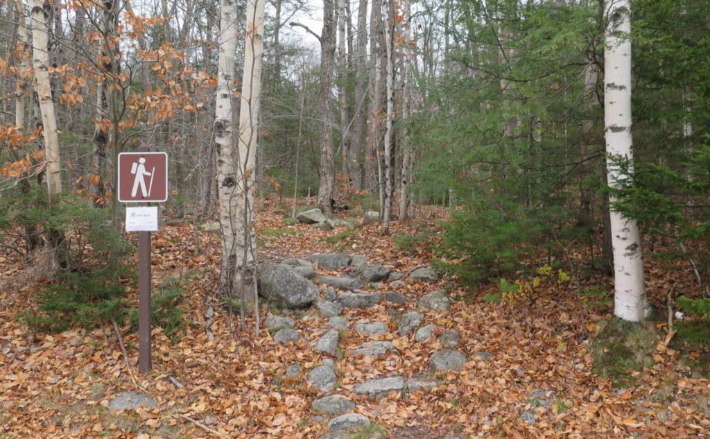
Nuts and Bolts: The trailhead for Imp Trail is on Route 16. If you’re heading south from Gorham, keep your eyes peeled once you leave town. It’s a small sign with the kiosk set back in the woods. The northernmost’s sign is made of laminated white office paper — with the usual information, but it’s not a typical presentation.
If you enjoy reading these posts, please subscribe — stay in the loop! Your email will only be used to alert you of new posts — typically 1-2 times per week. I will not use or share your email for any other purpose without your express permission. And feel free to share via social media using the buttons below.
Find me in the mountains, on this blog, or on Twitter: @Protean_Hiker https://twitter.com/Protean_Hiker/

6 thoughts on “Trip Report: Weather, or not, on Middle and South Carter”
Loved your trip report and thoughtful comments! Snaphappy
In my opinion this was one of your most interesting & fun to read posts. I’m not sure why. I think you thought you knew what you would experience, but you were able to see all the ways that if was different. Those were nice photos too. Thank you sharing your journey.
Thanks!
I think in terms of “what was there”, I knew what to expect — it’s not like I’d never trodden those trails before. But there’s a big difference in a rocky trail taken in the summertime, and the same trail taken in the dead of winter, when there’s three feet (or more!) of snow paving everything flat.
But what really took me by surprise is how much time and effort I had to give over to clearing balled up snow from my ‘spikes. I think that’s non-trivial, adding an amount of time on the measure of perhaps an hour to the trip.
It really was “take a few steps, curse, stomp, scrape on a rock-stump-whatever, take a few more steps and do it all again.” If it took ten seconds, then done 100 times it would take up more than 15 minutes.
The wonderful moment, though, was standing on Imp and seeing all the various geology and hydrology of the mountain at play, continuing to define the topography.