North Hancock Mountain (4420) South Hancock Mountain (4319). 2700 feet elevation gain. Lincoln, NH. 2023-01-19 (Thursday.)
Via the Hancock Notch trail, Cedar Brook trail, Hancock Loop trail. Approx 10 miles round-trip. (NB: Clockwise!)
Low 30s all day. Cloudy; as I write this, a snowstorm is making its mark across the state. No wind to speak of.
Trailhead: 1100. North Hancock summit: 1340. South Hancock summit: 1420. Car: 1600.
And then there were quasi-none.
The Hancocks aren’t my preferred hike in the winter. The trail is insanely steep no matter which way you slice it, which makes problems on the way down, for sure. The way up is no picnic, either. And so, owing to a dint of meteorological amazingly good fortune, I found myself thinking doing this very hike today would be a smashingly good idea. There is logic to this argument: I’ve already done all the other snowy months for my grid. That’s it, I’m done with Hancock in the snow, and there’ll probably be a couple other mountains that I knock off my winter list for good. All the same, there are mountains that I *prefer* to hike in winter — Isolation’s bushwhacks are lyrically beautiful when it’s distilled down to snow, an azure sky, and a seemingly endless birch glade. So everything balances out.
This winter is downright bonkers. I’m just throwing that out there for people from the future, who might happen to fall through a worm-hole. Through to today, the total “durable” snow we’ve gotten this season (AKA snow that lasts even a week, let alone a fortnight) has amounted to precisely zero, from the Massachusetts border to somewhere around Concord. Depending on the week, maybe even as far as the top of the talus field on Cannon. I know my friends who enjoy snowmobiling have groaned as their sleds have sat frustratingly idle since last season. The upside is you don’t have to shovel rain, but wow, this is just wrong. Walking in a winter wonderland has meant one can skip the heavy winter clothes this year.
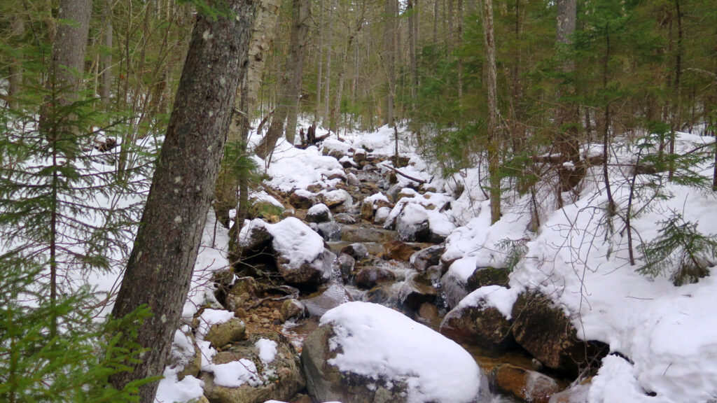
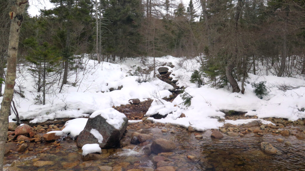
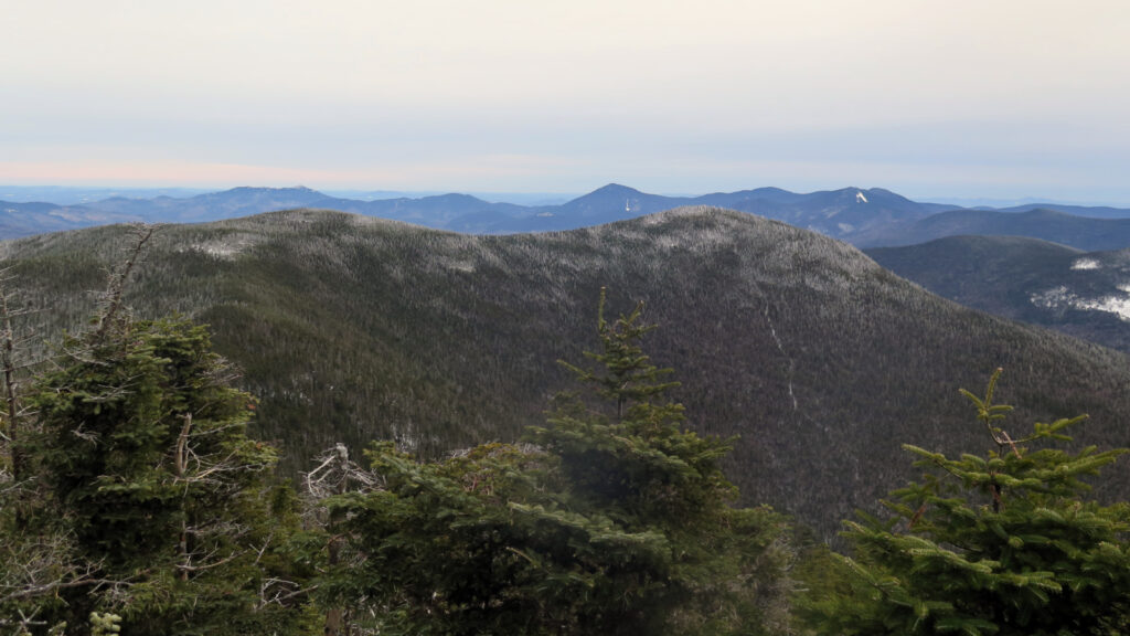
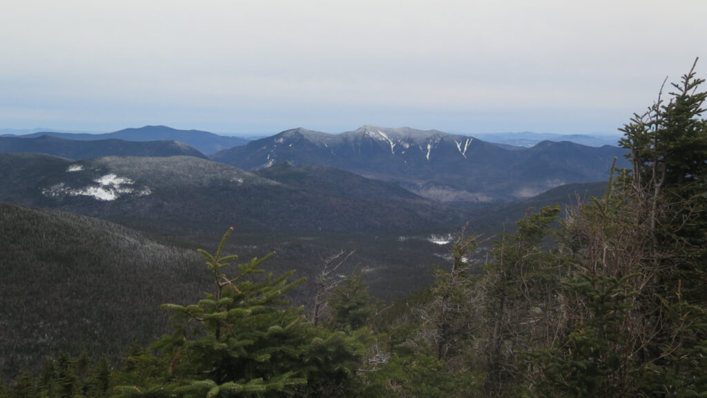
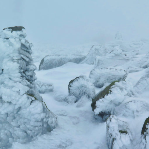
A very questionable upside of this meteorological anomaly has meant spikes are actually suitable right now, rather than heavier snowshoes. There have been enough daytime thaws followed by nighttime freezes, that the footpath on many trails is harder than concrete. My snowshoes came along for the ride, just in case the ridge was fluffy and deep. But it wasn’t: I made swift, lightweight travel all day, and missed my record-time for this hike by all of ten minutes. Not that I was trying, but the incoming winter storm did sit front and center in my mind; the upshot of that was that I did move with some amount of haste. And hey, the weather was pretty glum. Long views weren’t at all the order of the day. One awesome highlight was bumping into Steve Smith (editor of the White Mountain Guide and several other books on my shelf) on the trail. When I’m in the area of his shop and I see the light’s on, I’ll stop in. He’s good people, and it was wonderful seeing him on the trail today.
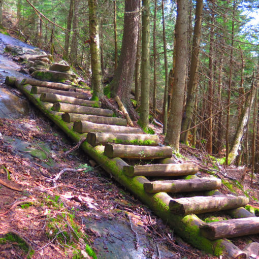
I’m going to let the photos do the rest of the talking. It was a good day out. I just wish my feet wouldn’t get so destroyed from that trail, because it’s certainly got some good bits in the wintertime.
As always, stay safe out there.
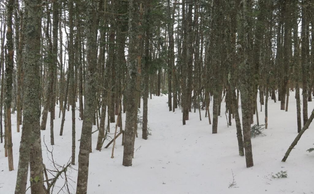
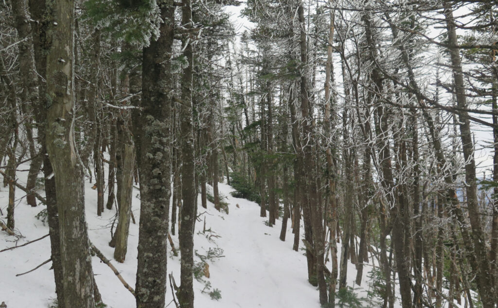
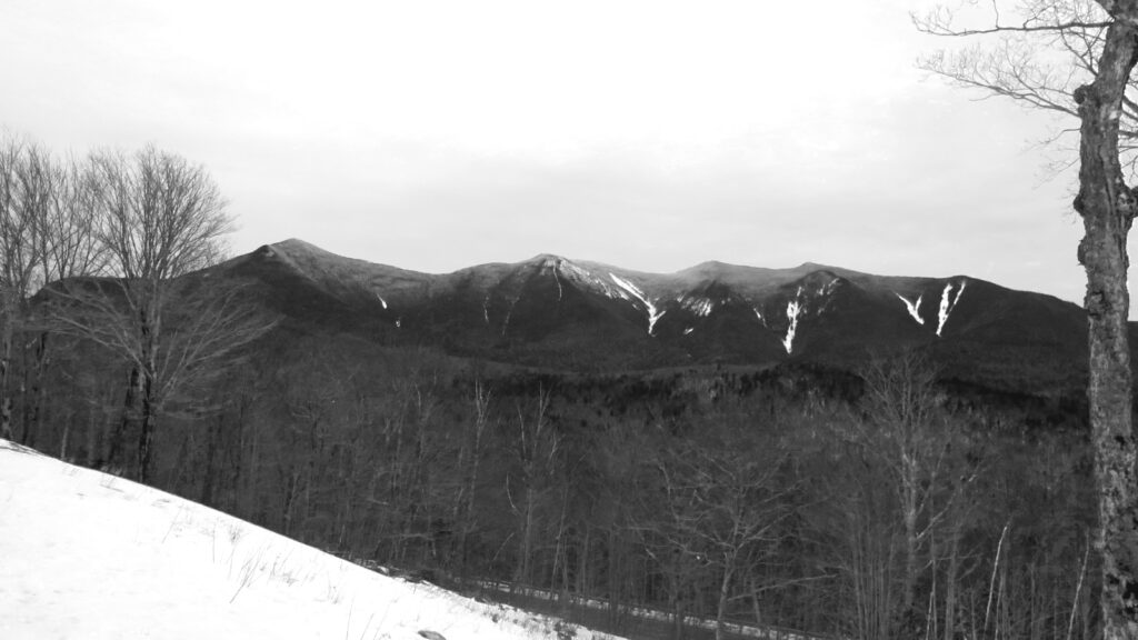
Nuts and Bolts: For a mountain that has a distinct “hard part”, driving there is about as easy as it gets. Take exit 32 in Lincoln, and head east on the Kancamagus Highway. (For the directionally challenged, this means going past Loon Mountain, and the Lincoln Woods trailhead.) About 10 minutes after you leave town, you’ll arrive at a hairpin turn about a minute or so after you pass the Greely Pond trailhead. On the east side is the entrance to the viewing/parking area, marked by a very large yellow and brown sign. This afternoon, the snow had pretty much all melted away, leaving the lot clear to the pavement. However, as I write this, all of New Hampshire is getting nailed by a storm. The weather prognosticators have promised snow that can be ploughed. Then again, they also call for above freezing temps next week in Lincoln. Make preparations for weird.
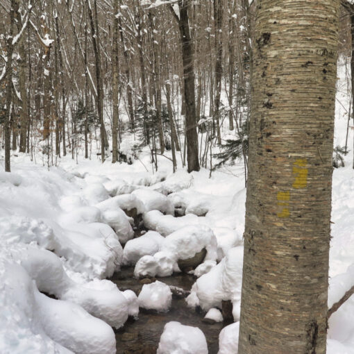
Trailhead will be across the street. Walk toward the dead-end of the parking lot, where the hiker kiosk is, and you’ll see a small gate with steps leading down beyond. The actual trailhead is fairly easy to spot, and that’s beside the fact that it’s a good sized break in the trees. Blazes are yellow and there’s a good lot of them, but for the most part, the trail is well tramped out.
Clockwise v Widdershins? Look at the contour lines on the north side v the south. North does indeed rise faster than south. South climbs to a lower peak, then gradually ascends to North. So if you turn left at the loop junction, and take North Hancock first, you’re climbing up the hardest, highest, and longest segment first. From the summit, you “descend” to South Hancock (you’ll climb and cross Middle Hancock’s nondescript peak along the way) and continue on back down after South’s peak. Just know that from the junction, you initially descend about 100 feet over a tenth of a mile, before you get clobbered by a relentless climb. South ascends immediately, but to a lower (initial) height, and then you continue on up to North in a somewhat gradual sense. In my humble opinion, South has moderately easier grades, but you make it up in the distance to North. North pounds you into the dirt right off the bat, but you have a fairly easy time getting across, and then over South. At which point, you only descend. In terms of the hit you’ll take, I think either is as bad as the other. The Mountain King will exact his pound of flesh. Deal with it. But because he’s a benevolent king, he gives you a choice. In which direction, north or south, pleaseth thee.
Which is better? You decide. But know that each climb goes up the fall line. North is more relentless than South, but South pulls no punches, either. I did the climb up North today in about an hour. But that’s not saying it didn’t hurt. Again, you decide.
Time Dependent Note: As I experienced things, there was a very well compacted trail that didn’t really justify snowshoes — spikes were actually the order of the day. That said, snow’s falling as I write this. The trail as I saw it is not going to be the trail as will be experienced by trampers visiting tomorrow. For the benefit of everyone, please use snowshoes if you’re planning on hiking this weekend. “Leave no trace” means not leaving a crummy, posthole riddled trail in your wake, only because you couldn’t be damned to put on snowshoes. Don’t be that guy. Once we’ve got some (confirmed!) freeze-thaw cycles, and the trail has turned again to concrete, we can revisit. Don’t have snowshoes? Either rent some at almost any outfitter (EMS, REI, and several others) save some pennies and get a pair of your own, or hike some of the more southerly trails. There are many, and they’re every bit as fulfilling as the big boys. Trust me, I’ve done quite a few of them.
If you enjoy reading these posts, please subscribe — stay in the loop! Your email will only be used to alert you of new posts — typically 1-2 times per week. I will not use or share your email for any other purpose without your express permission. And feel free to share via social media using the buttons below.
If you enjoy reading these posts, please subscribe — stay in the loop! Your email will only be used to alert you of new posts — typically 1-2 times per week. I will not use or share your email for any other purpose without your express permission. And feel free to share via social media using the buttons below.
Find me in the mountains, on this blog, or on Twitter: @Protean_Hiker
Additionally, for all the cool kids who sit in the back of the bus, find me on Mastodon.
Help support this blog! Visit www.photos.proteanwanderer.com to buy some of my signature images.
2 thoughts on “Happy on Hancock… Huzzah!”
1. One disadvantage of CCW that you did not mention is that you may become a human bowling pin while ascending South Hancock. 2. Mom always said do the hardest part first, haha, twice I’ve done clockwise and the one time I went the other way we started too late and I was too slow, so down we came. 3. My daughter is lobbying to go somewhere tomorrow, bur after a month of meds (physeical therapy starts soon) my knee still bothers me (xrays say mild to moderate osteoarthritis). We’ll see…I love those woods!
I think you can become a human bowling pin (billiard ball, whatever) on either side. That hike is steep!
I say forget finding a mountain to climb if your knee is still misbehaving. You can have a fantastic outing on the flat stuff — Sawyer Pond Trail, East Side/Wilderness trail, Pemi trail. Hike Cooley Hill, or perhaps even Greeley Ponds trail. Those did me very well when I was recovering from my broken ankle.