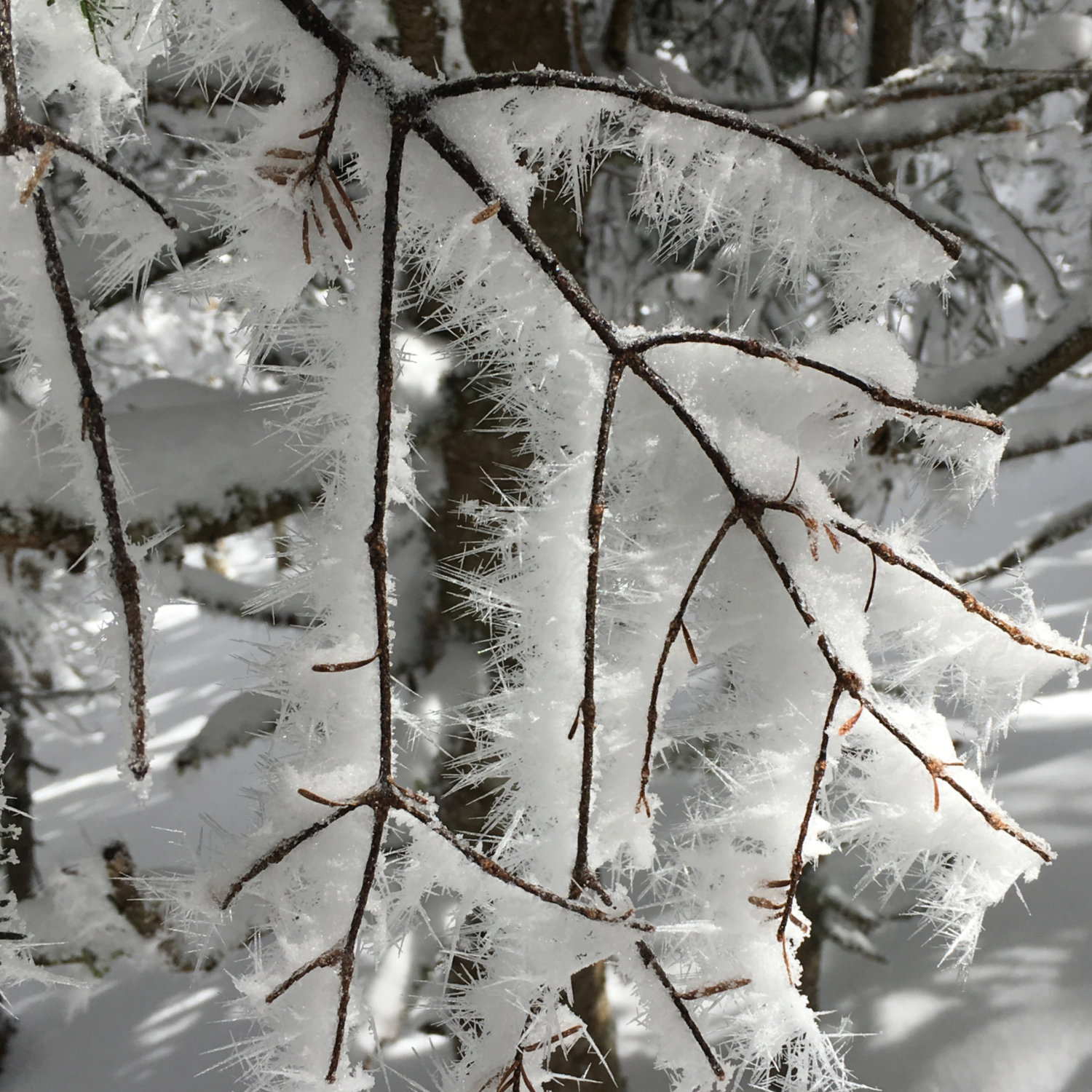
Mt Whiteface and Mt Passaconaway, Wonalancet, NH. 2024-10-22. (Tuesday)
Via Blueberry Ledge, Rollins, and Dicey’s Mill trails.
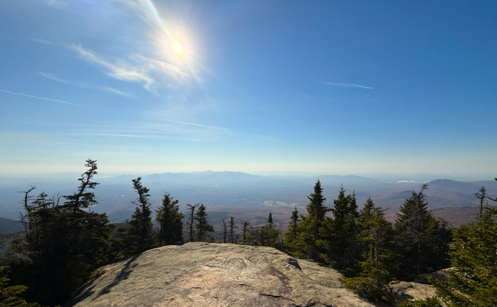
Low 50s to start, but then well into the 60s the rest of the day. Breezy: in the trees, not much, but on the outlooks, it was very pleasant.
Trailhead: 0745; Whiteface summit: 1045; Passaconaway summit: 1230; back at car: 1445.
Approximately 3.6 miles to Whiteface summit, 3.5 miles to Passaconaway summit, 4.6 miles back to car. Approximately 11.7 miles total. 3,900 feet cumulative elevation gain, including a col of approximately 750 feet in depth.
Sun, slabs, serenity.
When I got home, I updated my grid spreadsheet, and lingered a bit on the “44”. Four peaks left and I’m done with October. Two of them are… well, one (Hale) is very easy and not hard to get to, the other (Cannon) is simple to get to, and while it’s strenuous, it’s fairly quick. Isolation and Moriah round out the quartet, and while I’d have preferred to not need Isolation on short notice, it is what it is.
In any case, I was looking at my old notes on today’s outing, and being a bit unhappy about the time commitment. In the past, this hike has taken me as long as ten hours. Yikes! I remember no shortage of pain going across to and up Passaconaway. In fairness, I can remember outings where I tackled each mountain on its own, and having a good time of it. But no shortage of trepidation as I got moving this morning. And with the ten hours in mind, I made sure to actually get out of bed…
Rather uncharacteristically of me, I got to the trailhead before eight, and spied two cars in the lot. I was hopeful this would carry on throughout the day, but no dice. That said, the trail wasn’t terribly busy. I did cross paths with a few people, but not often. For the most part, I was left alone with my thoughts.
Starting out, the air was crisp. Moving along, I zipped off my pant legs within the hour… the morning fog that I experienced here and there on the drive up was burning off fast. It was around 50 (by the dash in my car) when I parked, but it wasn’t long before I was sweating like it was July. I made swift passage along the flats, before the trail pitched upwards.
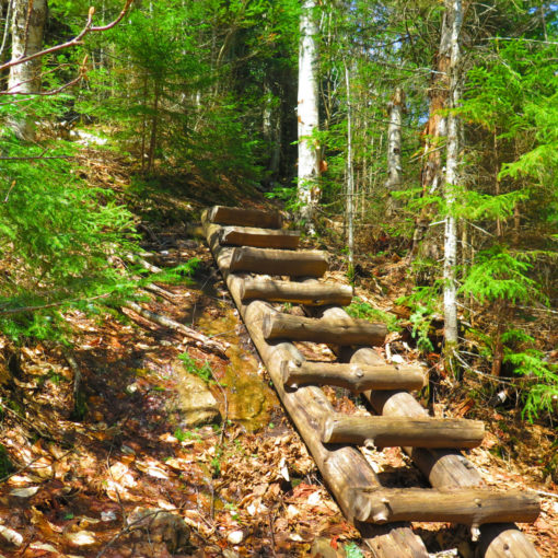
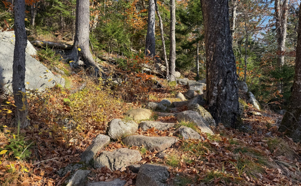
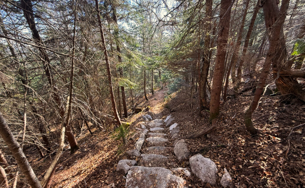
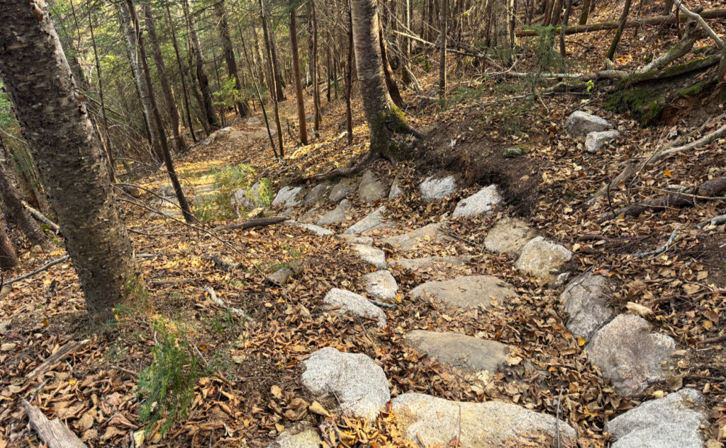
The Wonalancet Out Door Club does really good work. Let me lay that out front and center. Going up, I ascended countless stone steps that were laid with obvious precision. I can’t imagine how long this took, apart from many years; nor can I imagine what the upkeep requires in terms of both time and treasure. Much like Tecumseh is a stair-climb, so too is Whiteface. Coming back down, fewer stairs, by my estimation, but each stone just as lovingly placed by expert hands. No kidding, these guys are consummate pros. They take very obvious satisfaction in a job well done.
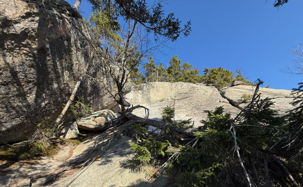
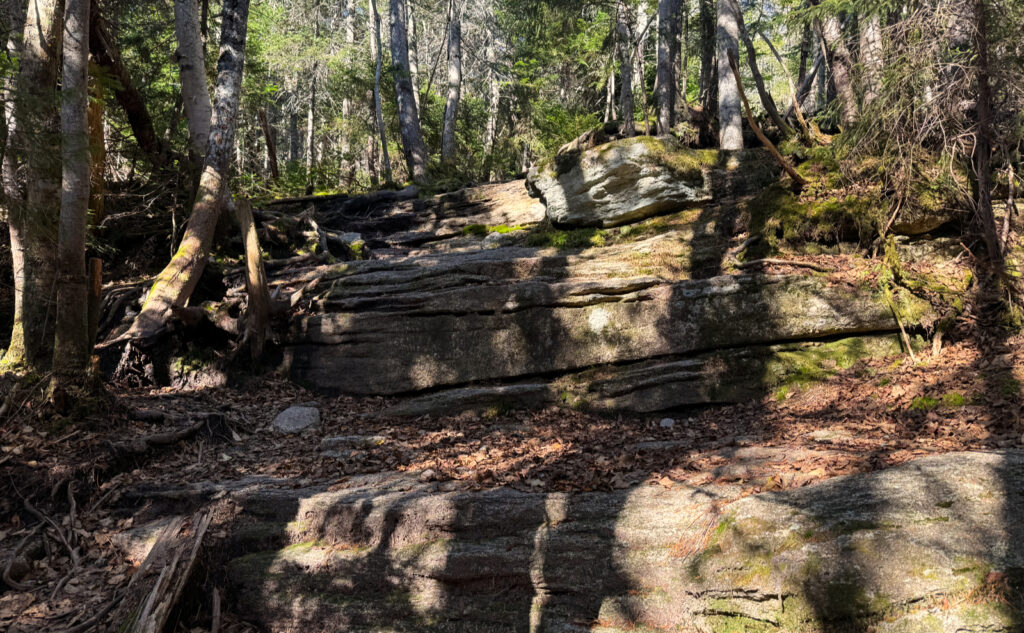
Crossing over the col was fairly easy, if not long. Granted, it’s three and a half miles, and most of the terrain is clean and smooth. I think the thing that slowed me down was that I was already a bit kneecapped by the stair-climb up Whiteface, plus navigating all those ledges and such. It’s a spirited climb. But checking my watch, I was amazed that I was making such good headway.
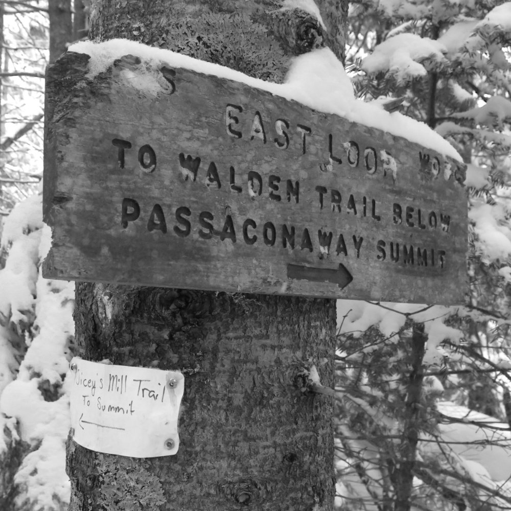
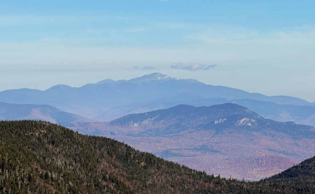
And then I was at the meat and potatoes of Passaconaway. A relatively short ascent up the summit cone, and that was it. I didn’t indulge in the outlook to the north, feeling the burn quite well enough from getting this far along. Heading down, I paused by the small drainage at the trail junction with East Loop, and got some of that ice cold and delicious water.
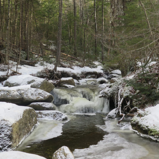
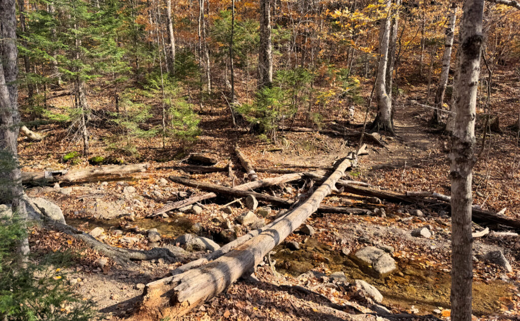
Overjoyed I was when I got to the water crossing by Tom Wiggin trail. I think every other time I’ve been here, the waters have been either raging, or flowing enough that the log bridge wasn’t optional. Today, however, I sauntered across the rocks below, enjoying that moment.
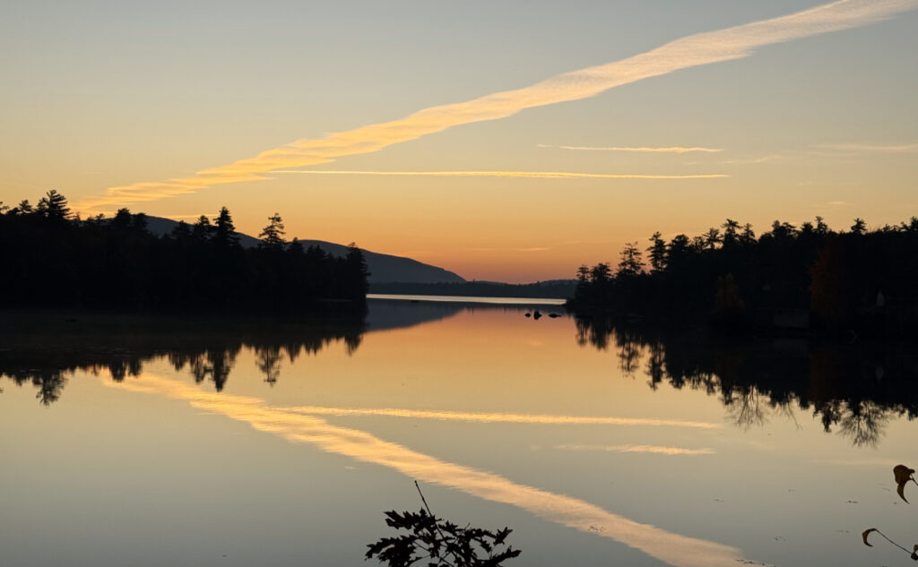
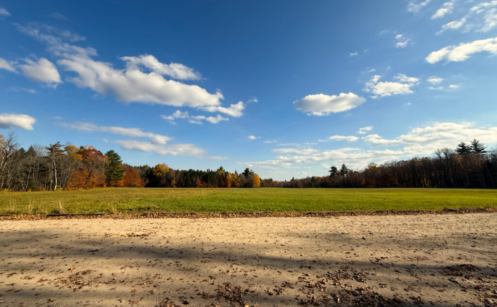
And then, before I knew it, I was back at the car. On the walk past the various houses in the neighborhood, I saw a man and his two half-pints, one was a very young girl. And they seemed to be having a fairy picnic. So I asked, and he confirmed that yes, indeed it was a fairy picnic. The best kind! When your little princess demands, there’s nothing left, but to find a suitable patch of grass, and roll out the blanket. Under today’s sunny skies, I can think of few things so perfect. (I was told that they made it “this far from the car” before her royal highness decided she’d had enough walking. Kids have their own priorities, right?) In like mind, I had to sit for a spell once I actually got to my car. The clouds in the sky were just too compelling to ignore.
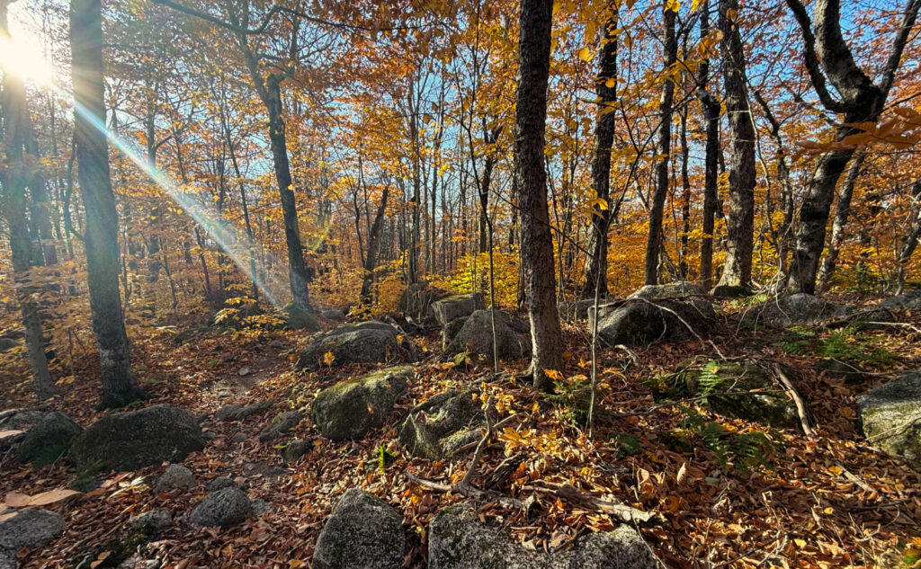
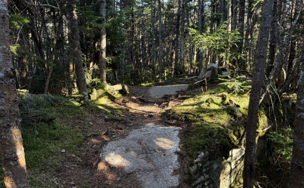
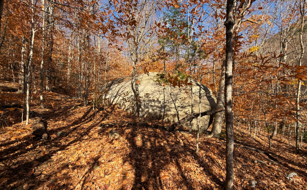
It was a very nice day out. Perhaps it wasn’t obvious in the photos, but there are a lot of leaves on the trail, and as such, in some spots, they can get deep, and consequently make things a tiny bit greasy. That’s my one and only mini-gripe, because otherwise, the sun reflected back upward with that awesome autumnal glow. And this day, the temps were nearly summery. What else could anyone want?
As always, stay safe out there.
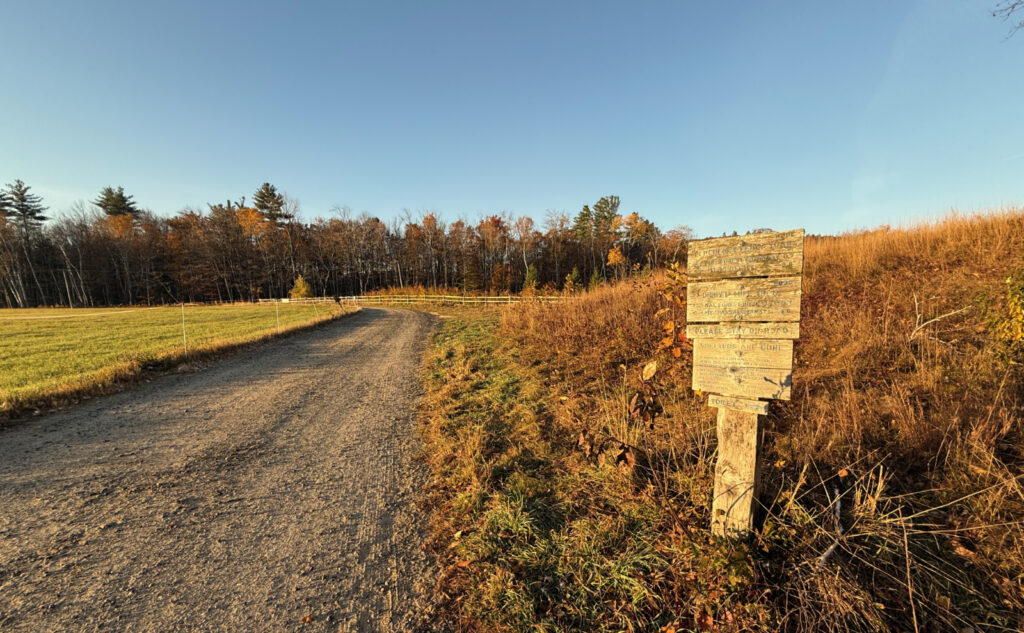
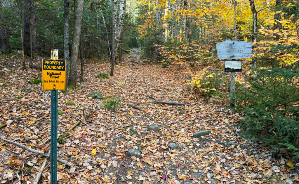


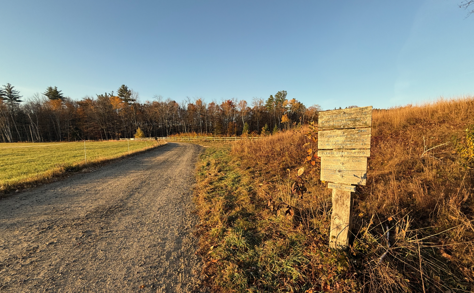
Nuts and Bolts: From 113A in Sandwich, turn onto Ferncroft Road. After a bit, you’ll see a familiar brown hiker sign with an arrow, some signs saying “No Hiker Parking”, and a field with a trailhead sign. Park in that lot. You’ll have to walk about half a mile to the trailhead proper. If you’re taking Blueberry Ledge trail up (recommended, as the ledges are a bear on the way down, especially if it’s wet) you’ll hike over a short wooden bridge on your way. At the bridge, find a street sign marked “Squirrel Bridge Road” and make your way across. There are small wooden signs pointing the way beyond to the trail. Please note that you’ll be on or very near private land through the beginning and end of your hike. Please be mindful, and tread lightly as you cross their lands.
Similarly, Dicey’s Mill Trail terminates in another landowner’s field. Traditionally, the owner has been welcoming of hikers. Please don’t mess this up. As an aside, if you’re coming off-trail in the dark, and the sky is clear, turn off your headlamp and tip your gaze upwards. You won’t be disappointed.
Parking: I’ve never seen this be an issue. However, parking for hikers is limited to the area off the right of Ferncroft road. (Location is pretty obvious; there are plenty of signs.) All along Ferncroft Road are no parking signs. If the lot is full, there are other fine places to hike nearby. As always, don’t be that guy.
If you enjoy reading these posts, please subscribe — stay in the loop! Your email will only be used to alert you of new posts — typically 1-2 times per week. I will not use or share your email for any other purpose without your express permission. And feel free to share via social media using the buttons below.
Find me in the mountains, YouTube, or on this blog.
Help support this blog! Visit www.photos.proteanwanderer.com to buy some of my signature images.
