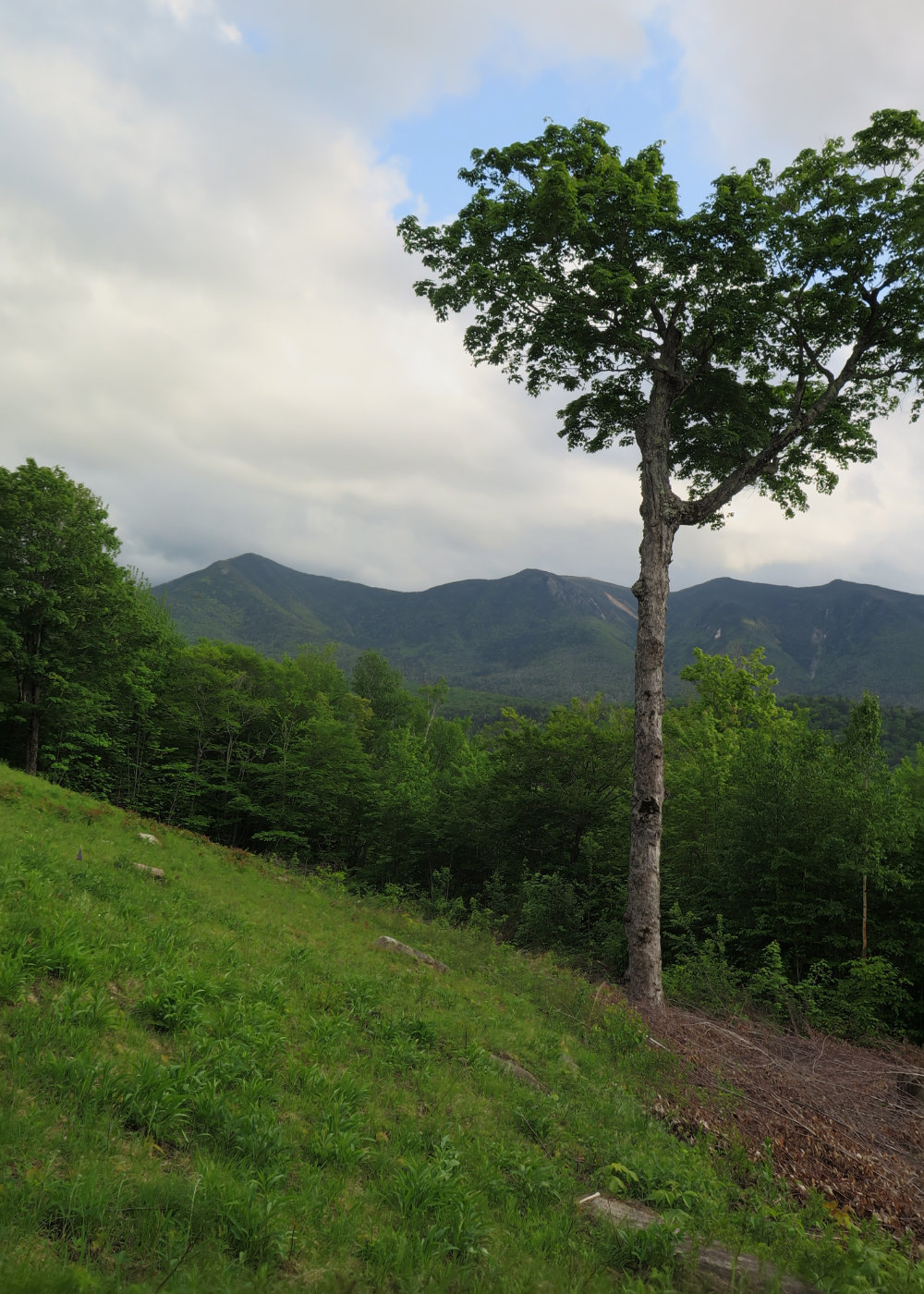
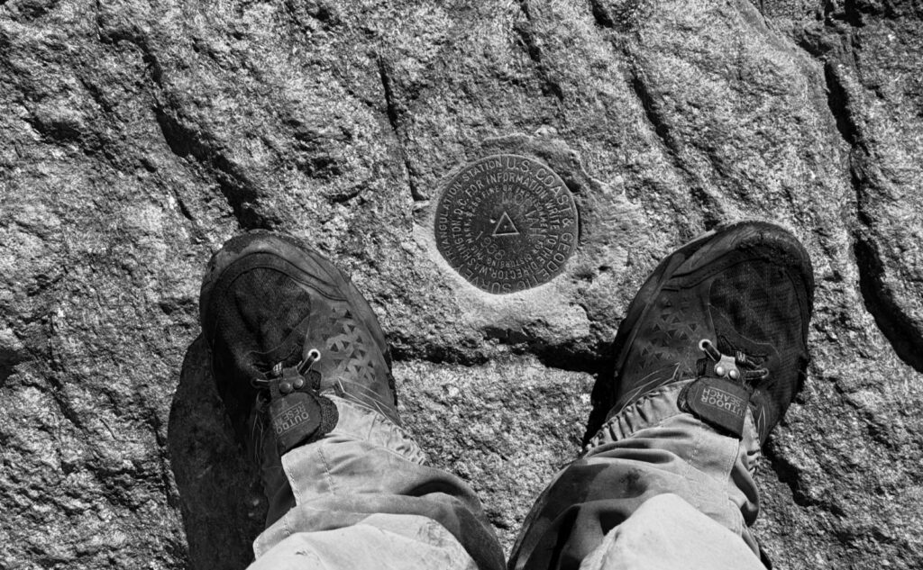
Mt Moriah (4,049 feet). Gorham, NH. 2024-10-24 (Thursday.)
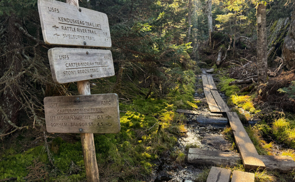
Via Stony Brook, and Carter-Moriah Trails, and the summit spur. 10 miles round-trip, approx 3,100 feet elevation gain.
55 dF at the trailhead, 65 dF at the summit. Winds were negligible in the trees, a true, cooling breeze at the summit. Sun, with enough clouds to make the sky look interesting.
Trailhead: 1130. Summit: 1430. Car: 1730. Approx 6 hours.
Sun and clouds, peace and quiet.
Work recently has been a bit eventful, meaning time in the mountains has been very restorative. This morning, I got off shift, zoomed home, ate, changed, and gathered stuff. And then I ran to my temple, my therapist, my lover. The primal needs of life won’t be denied.
To say the trail was entirely “peace and quiet” is erroneous. In absolute fairness, I came across about half a dozen similar minded souls, and three delightful pups. The most memorable was a “COVID puppy” who is now a 4 year old Rottweiler, a tiny bit skittish in temperament, only because he never got as socialized as one would want in his formative years. I’m happy to report it took a little coaxing, but he learned humans offer scratches in all the itchy bits, and maybe we’re not that scary after all. It takes a village to raise a dog, folks.
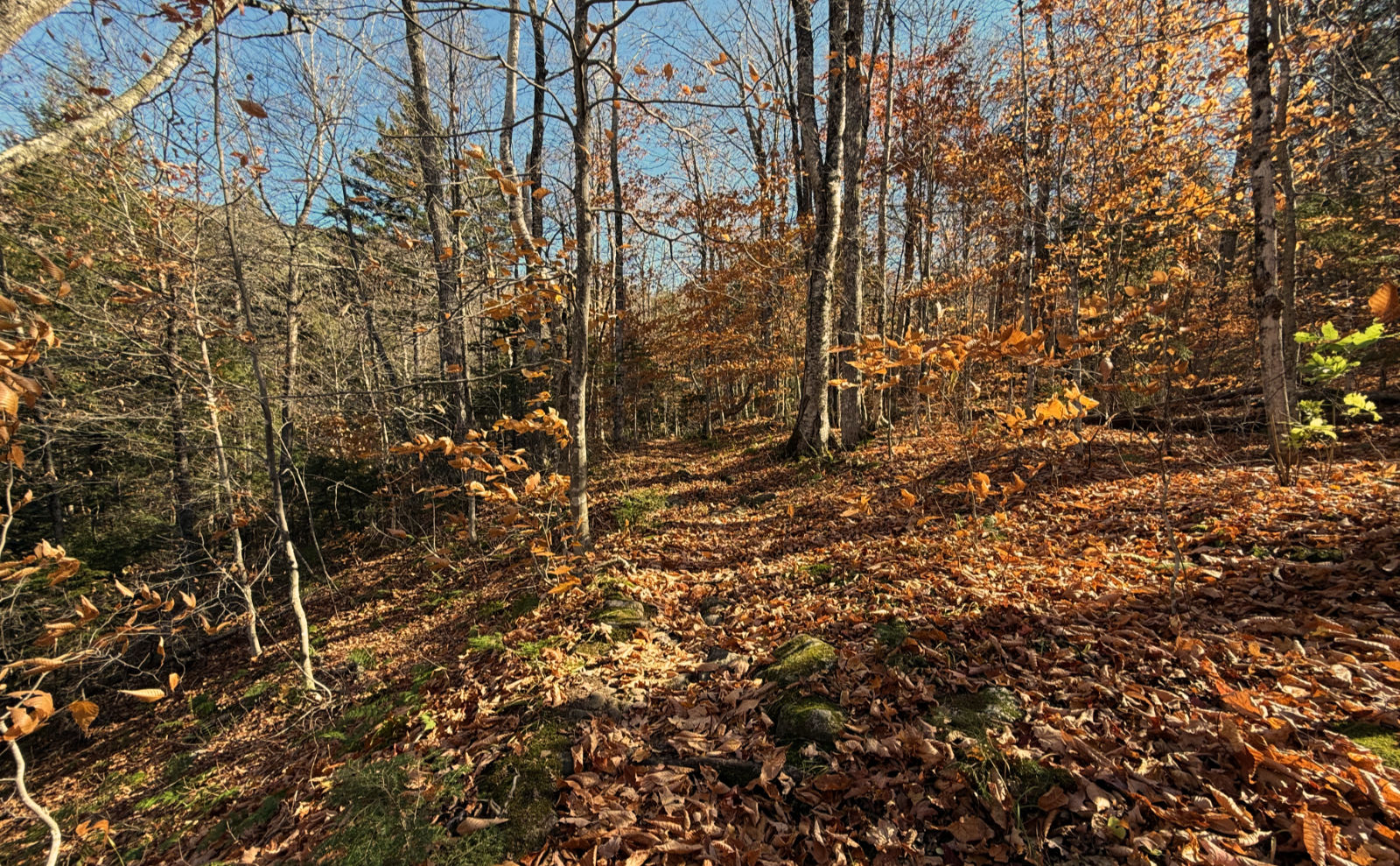
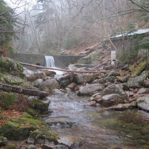
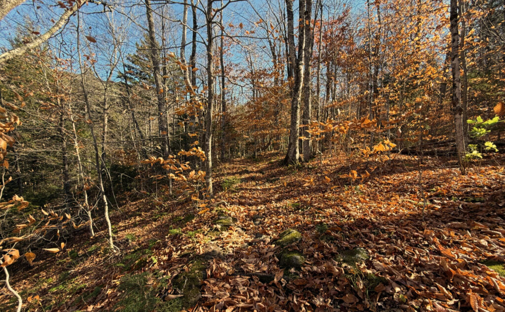
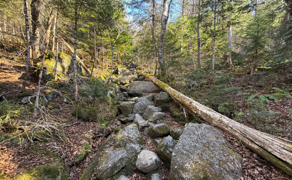
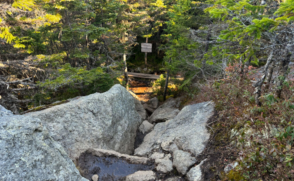
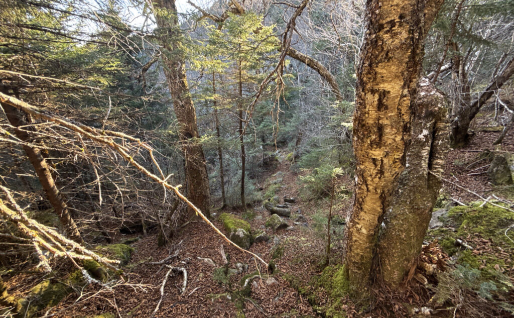
Anyhoo… the people on the trail were content not making a lot of noise. Some time ago, I learned Stony Brook trail was arguably one of the best ways up this mountain, and today reinforced that notion. Down low, I had the brook to keep me company. The grades were easy, and footing was… OK, less than stellar. There are a lot of leaves on the ground until about 2,500 feet. When I say “a lot”, I mean a few inches, and plenty enough to conceal rocks and roots that may be lying below. Take care, intrepid trampers, because inattention to footing can result in a turned ankle in short order.
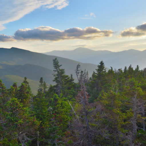
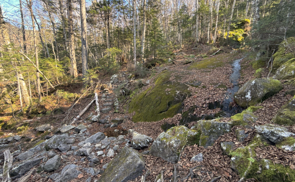
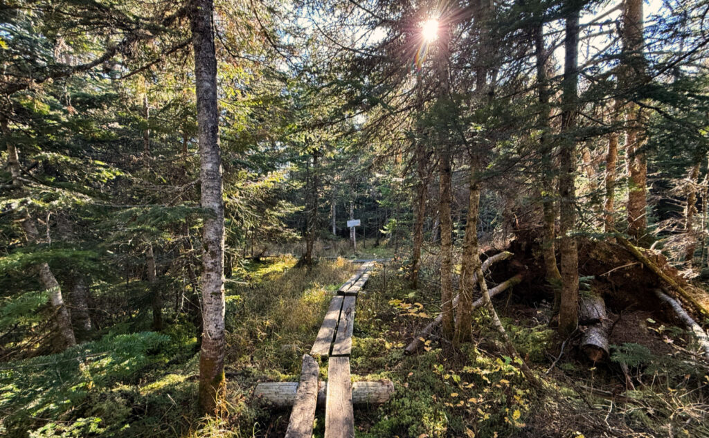
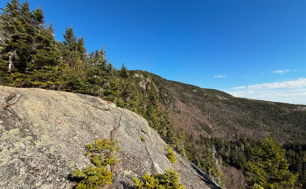
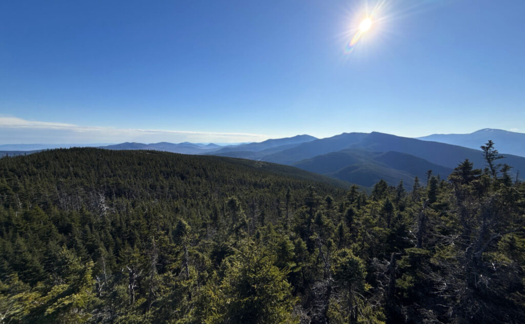
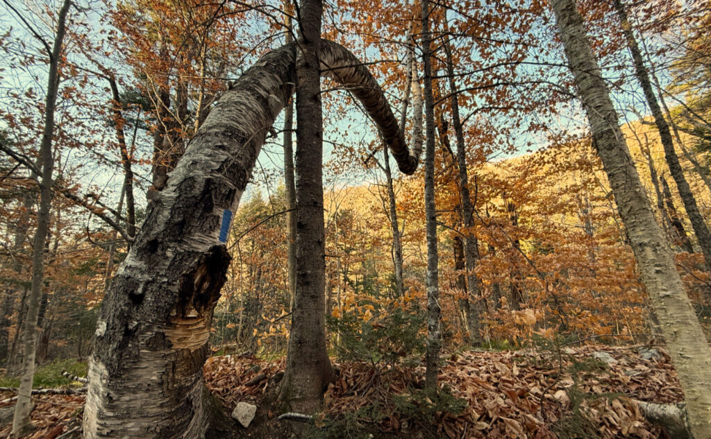
But aside from that, the trail is quite nice. Much of it follows an old truck road, going through open forest. On a sunny day such as today, a lot of that light makes it well and truly down to the forest floor. Coming from the south, as you do, on the upper reaches, you get fantastic views from the numerous ledges. I would argue that if you want good views into the Wild River Valley without working too hard to get them, skip the other mountains in this range, and just hike up this trail to the summit. I can’t think of a better vantage point without driving all over creation.
And in regard to all that rock and rubble hidden in cascades of beech leaves? The Japanese have an expression, “wabi-sabi”, which I think perfectly encapsulates this. Embrace the idea that perfection lies in natural imperfection. The vinegar is sweet, not sour or bitter, to riff on another well known image.
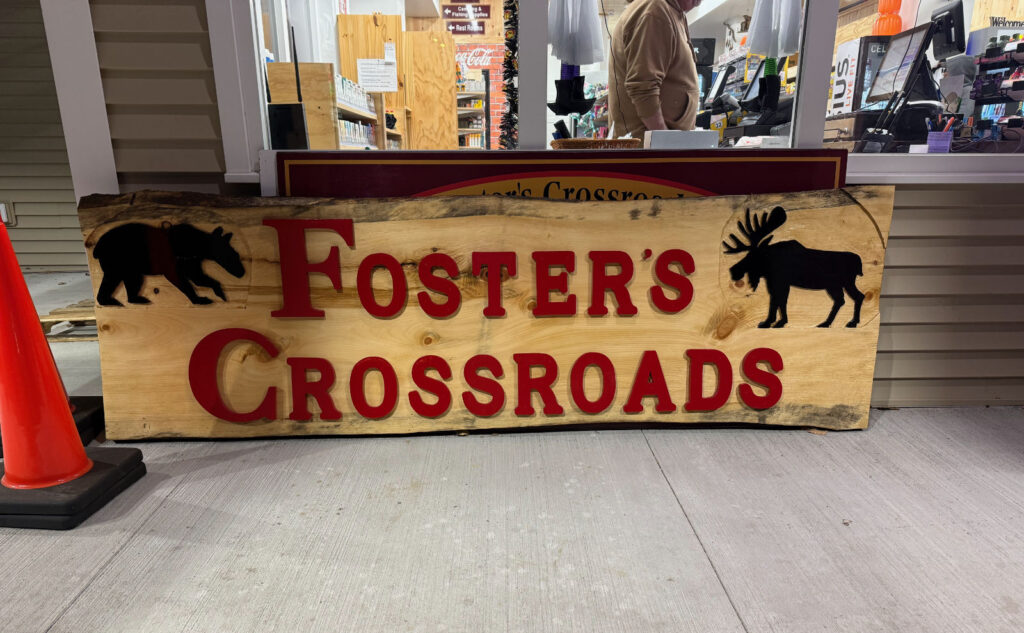
One other thing: on the way home, I made a stop where I hadn’t stopped in quite some time. Foster’s Crossroads is back. With the new building, the feel of the dingy old place is gone. That said, the old sign is still present, though inside, and with a few letters having been rebuilt. (I’m told several of them were on their last legs when they were taken down.) All along 93 are too many chain stores, so it’s nice that local commerce is alive and kicking. Heck, there’s a new bistro in Twin Mountain, too. So things there seem to be chugging along, to some degree or other.
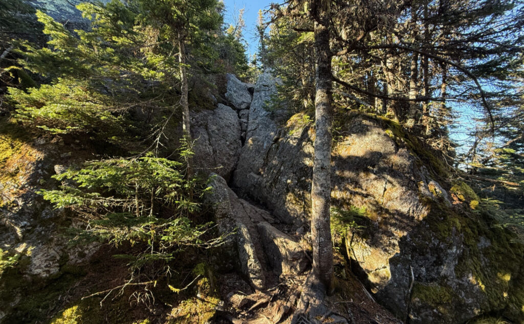
I’m going to let the photos do the rest of the talking.
As always, stay safe out there.
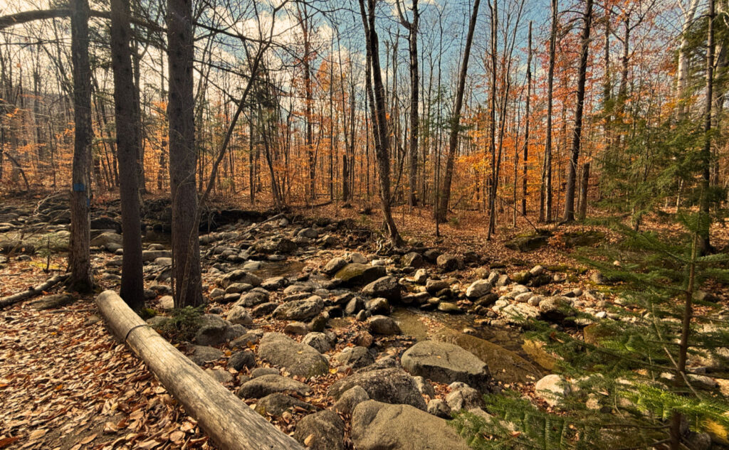
Nuts and Bolts: Take 16 south out of Gorham. Immediately beyond the bridge over the Peabody River is Stony Brook Road on the left. Turn here, and you’ll see the trailhead immediately on the left. You should be able to see the kiosk and sign from Route 16 — the trailhead is about as easy to spot as Appalachia is from Route 2. (The sign is about the same size, too.) Unlike the trailhead on Bangor Road, there’s actually a small parking area that can take about 10-12 cars. There’s a footbridge to cross the brook and get you to the meat and potatoes of the trail.
Blazes are blue for Stony Brook, and white up on the ridge — you’ll be on the AT with its customary markings. Overall, the way going is easy to follow. On the AT portion, you won’t want for blazes. On the Stony Brook trail, they’re more sparse, but seem to be there whenever you need.
On the way down, don’t forget to take that right turn back onto the Stony Brook trail. Otherwise, it’s a longer (yet downhill) walk back to the car.
If you enjoy reading these posts, please subscribe — stay in the loop! Your email will only be used to alert you of new posts — typically 1-2 times per week. I will not use or share your email for any other purpose without your express permission. And feel free to share via social media using the buttons below.
