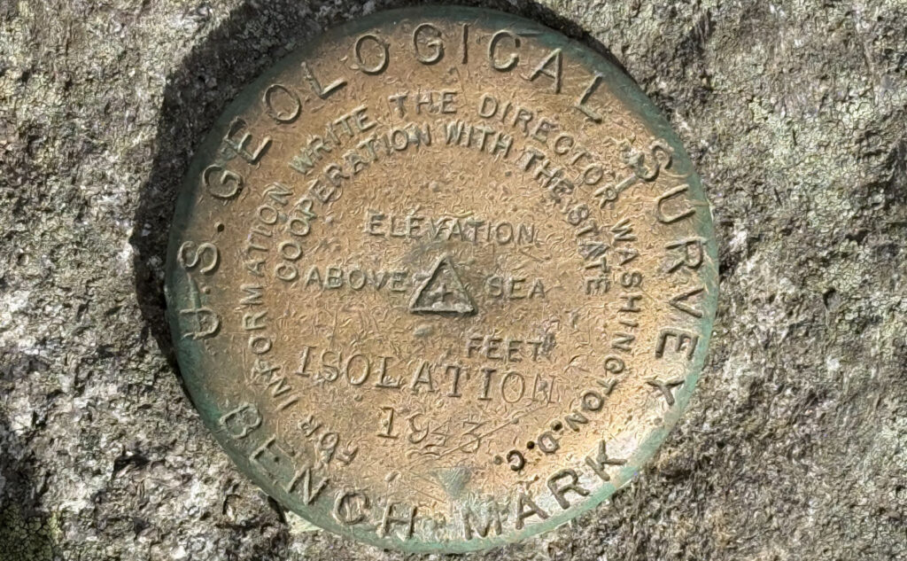
Mt Isolation (4,003 feet). Sargent’s Purchase, NH. 2024-10-27 (Sunday.)
Via Rocky Branch, Isolation trail, and Davis Path; and some bushwhacks. 14.6 miles round-trip, without the bushwhacks. Who-knows-what distance with them. Approx. 3,600 feet elevation gain.
34 dF at the trailhead, 42 dF at the summit. Winds were annoying in the trees. 15-20, with gusts to 25-33 at the summit. Sun giving way to clouds throughout the day.
Trailhead: 0900. Summit: 1300. Car: 1700.
Was number 46 better than 45? You decide!
For some reason, this hike seems to be as much head game as actual miles. I see the distance, there’s some elevation, and then I remember the struggles I’ve had with it, notably from the first time I attempted the hike. Yesterday, I realized that more often than not, I’ve come back having had a good time, with far less pain than imagined. I need to forget what I think I know. I could say the same about Moriah: all I can remember routinely is the “pointless ups and downs” heading up the Carter-Moriah Trail, and the rocks that are endless heading up from Imp.
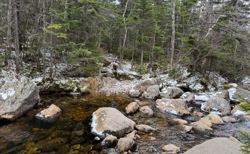
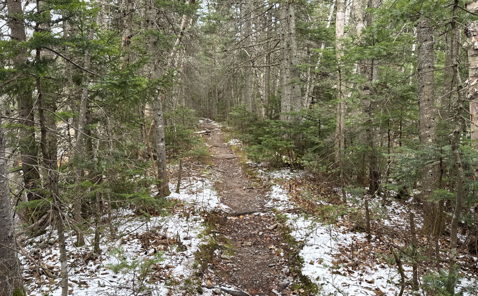
That’s not to say this isn’t a committing hike. There are about 14 miles to cover. Last hike up Moriah was one thing; this was two hours and a few miles longer. But many of those miles are quite tame. Yes, there are water crossings that would need to be managed. Yesterday, I didn’t have a problem with any of them, and indeed, any one of them could have been a crossing I’ve done semi-mindlessly on any other mountain. It’s not like wading across the Pemigewasset river in springtime. The steep bits don’t hold a candle to the North Slide of Tripyramid. In short, it’s long, but doable. And lest we forget, it’s one of the lowest of the 4,000 footers — on that score, I did around the same amount of elevation gain, and stood about as high once on the summit as on Moriah. I need to remember the miles spent on old, flat, wide rail beds, that the birch glades are closer than I think, and most of the roughness is over in the first hour or two, after climbing up to Engine Hill. Just like we pack our fears, we remember the bumps and bruises.
This was the 46th mountain on my October 4,000 footer list, and the month is over in a couple days. There was no shortage of pressure to succeed. I really, really don’t want to have this month hanging over my head for another year. And so, in anticipation of a long day, I actually got out of bed, and was at the trailhead at a “reasonable” hour. By my hopes, I was still an hour late, but by the end, I surprised myself by turning in a speed run — I got back to the car an hour earlier than anticipated. Even getting back early, I didn’t scrimp on seeing and doing things. Indeed, probably on account of having done those things, I got done early.
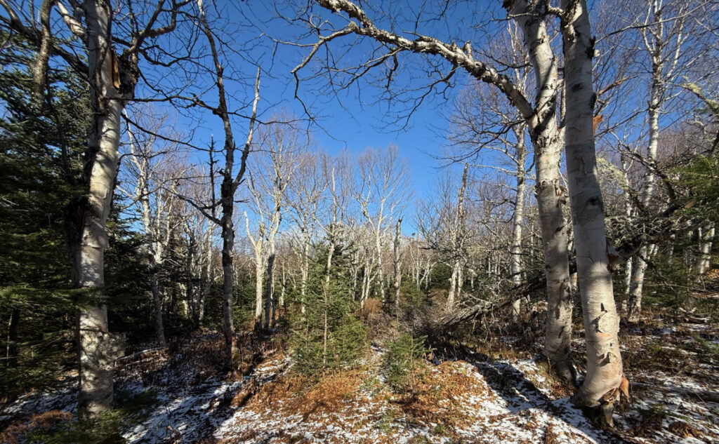
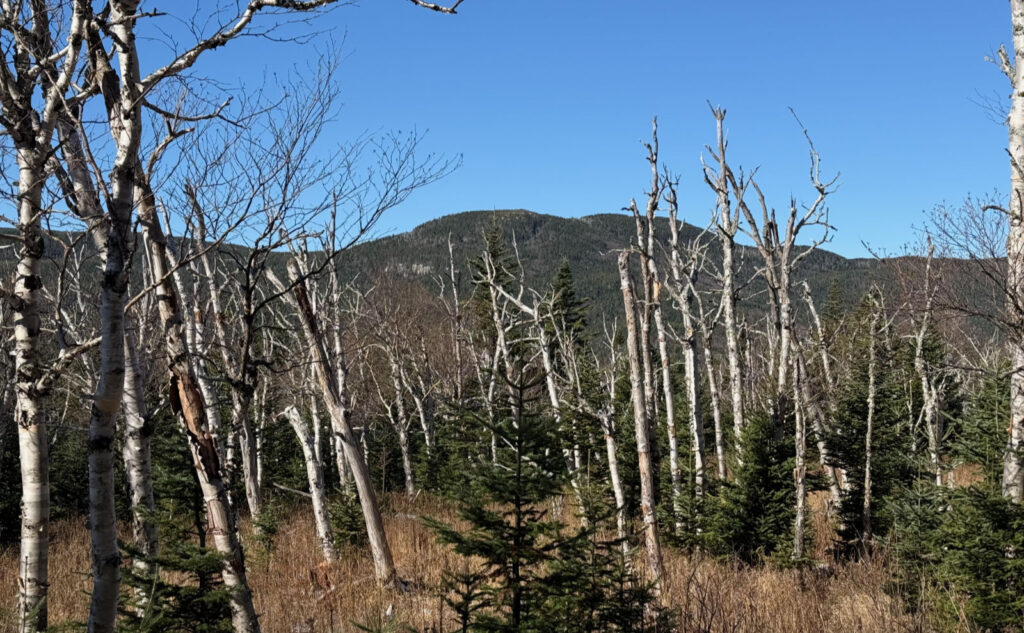
Starting out, the trail whacks you in the head early, as you make a pretty much unrelenting ascent from the parking lot (around 1,200 feet) to the height of land nearest the summit of Engine Hill, at around 3,100 feet. About ten minutes later, as I descended, I saw the entry to the Engine Hill bushwhack, and it looked pretty compelling. Maybe I could knock some time and miles off, and perhaps even skip past the worst of the water crossings. And so I went. Before long, I was rewarded with a walk through one of my favorite places in the whites, passing through the birch glades that so often capture my imagination in winter… and that season is still a couple months off! Score! But almost immediately after, I was reminded that so much of this route is a boggy slog in above-freezing weather. Quite a lot of it crossed very marshy ground, with “squishy” ground as the norm. I’m sure that once I actually come up here with the intent of finding a drier route, things could be better, but this day, I suffered. More than once, my feet got wet. Not good!
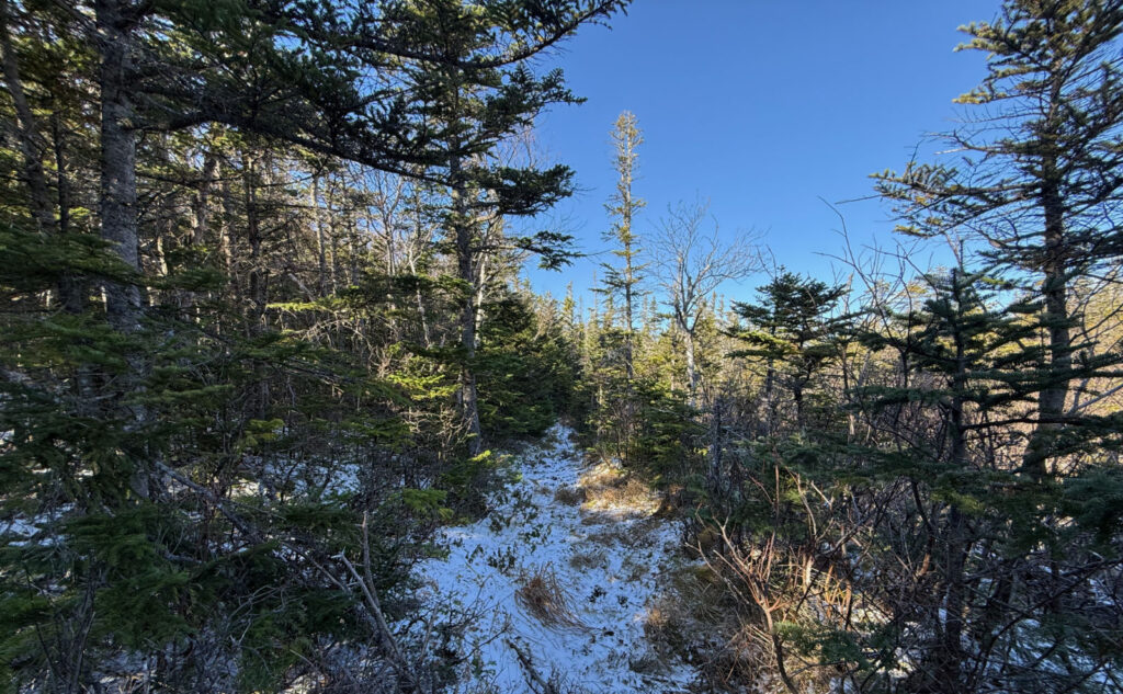
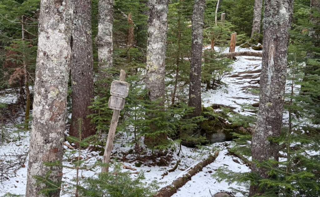
All things will pass, though, and soon I was back on the actual trail, not much worse for wear. And because things were being like that, I saw the Isolation Express bushwhack entry point, and thought “why not?” Most of it has better (read: drier) footing than Engine Hill, so although there were a few places I had to watch my footing, I had an easier time of it. Again, at some point, I might suss out a better route, but not this day. Thankfully, there were a few “blazes” in the form of human trimmed branches, for those times where reassurance I was on the right path was nice. Nearer the top, there was an actual herd path for a short distance, which made for easier footing and quicker passage. Between the two ‘whacks, this was the easier, though that’s not saying there weren’t a few places where I was fighting through dense trees.
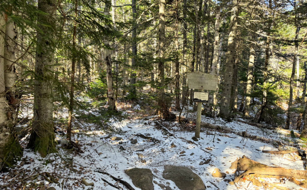
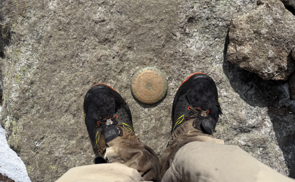
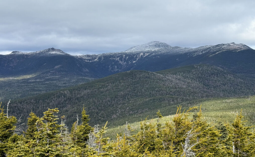
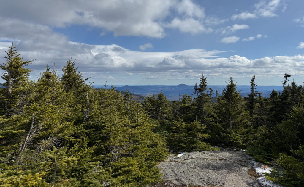
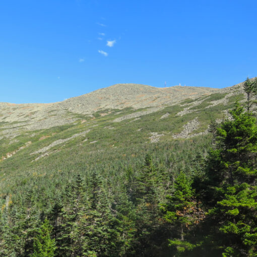
Now on the col, I turned left, and headed south down Davis Path, and in minutes, was enjoying a fierce wind and a paltry view of Mt Washington’s summit in the clouds. To be true, the buildings and antenna towers were indeed visible, but the weather wasn’t helping matters, instead creating a drab visage. Let’s say I’ve had more stirring views of Oakes Gulf. No worries. I looked around a bit, and then checked the wind (yep, well and truly heinous) before deciding that getting blown around wasn’t my bag. Just steps below the summit, I met a trio on their way up — they had started on Glen Boulder, and I can’t imagine the full gale they experienced coming from that direction. We exchanged pleasantries, and then I headed down, opting to take the “normal” route.
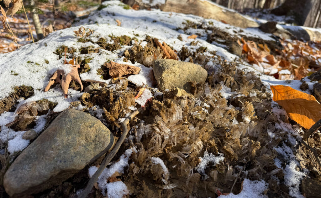
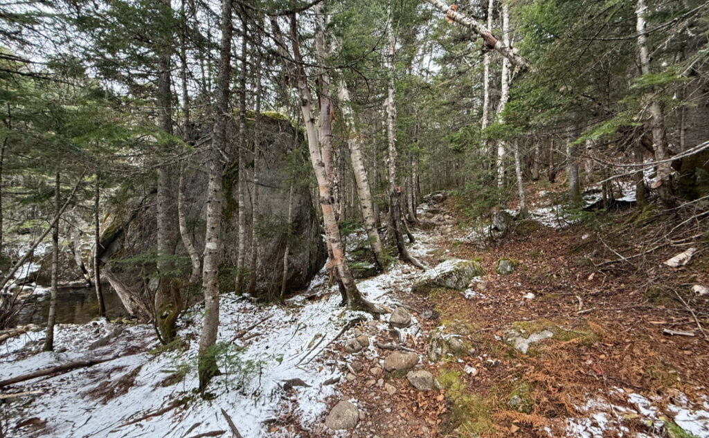
I think the worst was the lower section, up to around 2,500 feet or so. In this area, the beech leaves are lying in a thick mat, covering up anything underneath. One thing I noticed is that this mountain has a lot of rocky rubble everywhere — that huge elevation change that sits right by the trailhead is littered with rocks about the size of a grapefruit… just the size that will turn your ankle if you’re not watching out. That downhill is nothing to race down mindlessly, and so I made painfully slow passage.
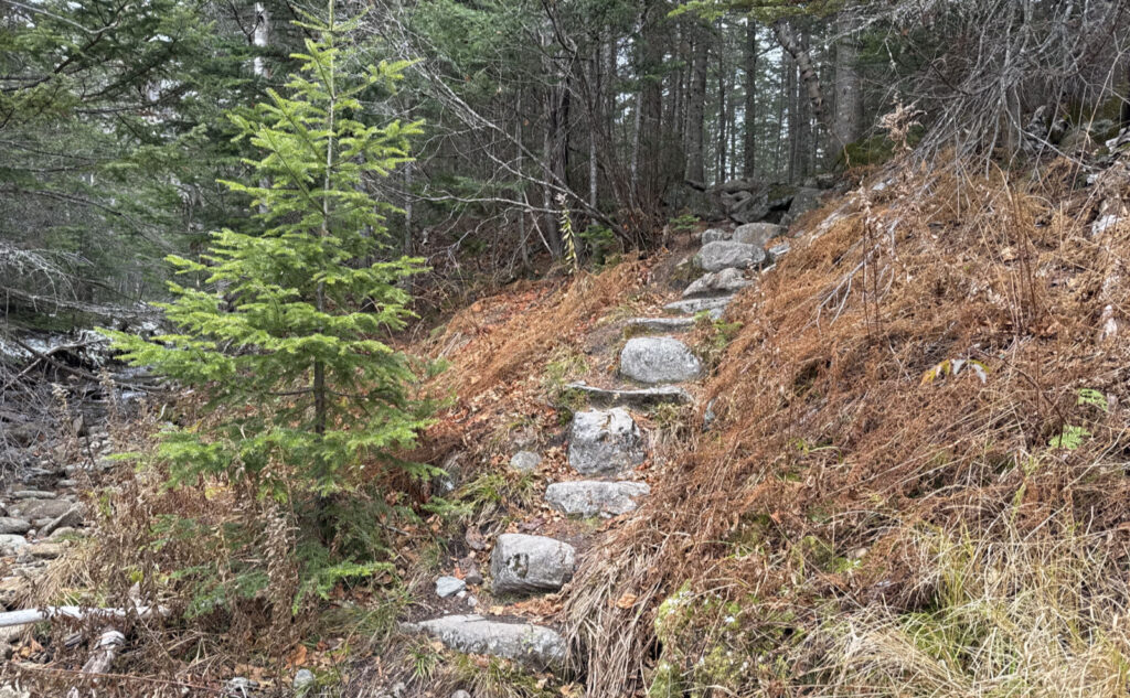
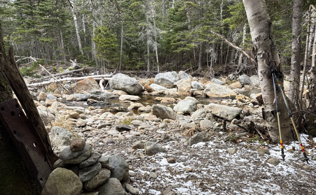
One of the best parts, and this will have me coming back, is the history of the mountain that’s so visibly recounted in the trails. Over and over, I kept thinking “this was a truck road”, and come to find out, I was technically wrong (they are, in actuality, old rail beds) but spiritually right. I knew the Dry River trail had a logging history, but for some reason, I never put it together that the insane run uphill at the start was also a logging rail bed. Further along, you see those wide, straight sections of trail, though, and you know it. Oh, and I took a third bushwhack on the way out, and a cairn very near its entry point had an old piece of iron, no doubt from that logging history. This is a mountain worth hiking slowly… something to do on those long summer days.
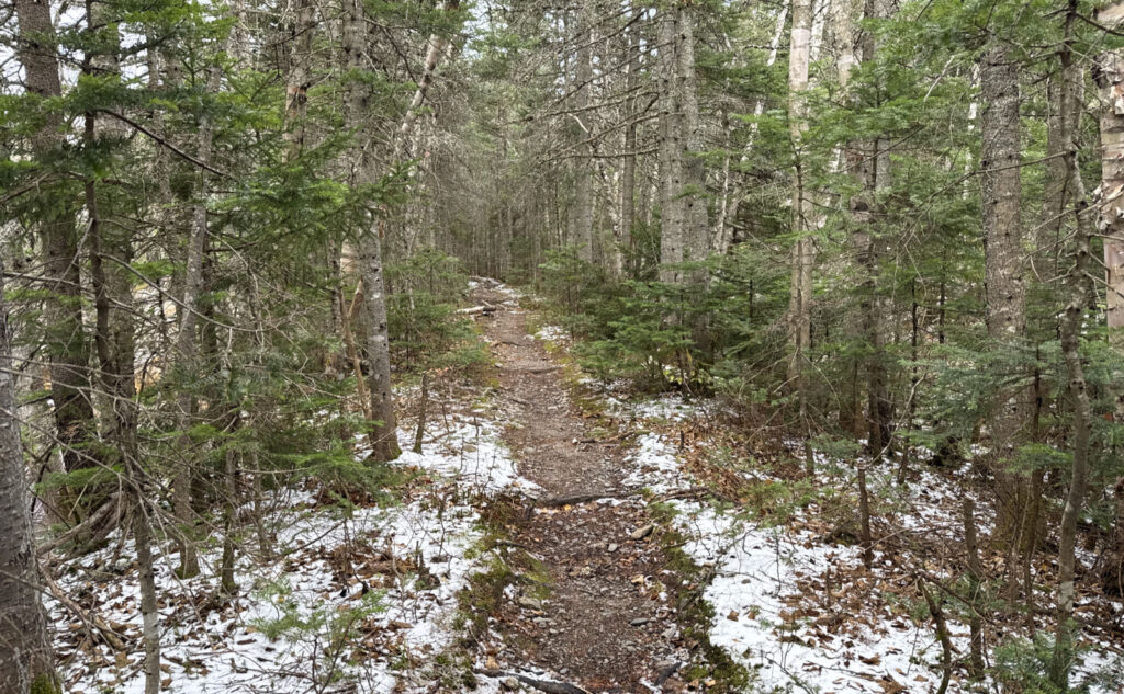
In fairness, this isn’t an easy hike in the way that you’d regard Tecumseh or Hale, or even something like Waumbek or Cabot. There’s a lot of mileage, a lot of rough terrain, and navigation isn’t the greatest. For very long miles, you’re walking on stepping stones, roots, and damn near everything else that keeps you from enjoying full, easy strides that would otherwise eat up those miles. But that said, it’s not an impossibly hard hike. I think it sits in a place where you put those trips that were difficult but perfectly achievable, and as such, very memorable. I have opinions about it, but at the same time, I think it’s those opinions that keep me coming back.
As always, stay safe out there.
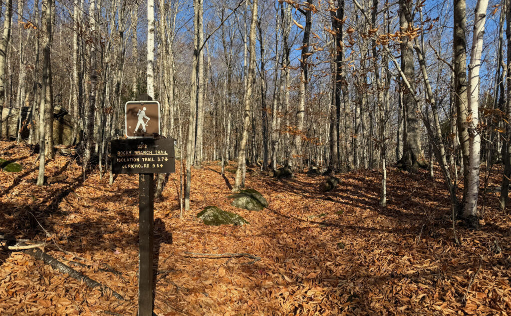
Nuts and Bolts: From Gorham, turn south on 16. Drive past the Pinkham Notch visitor center and then look for the Rocky Branch Trailhead sign a bit more than three miles after that, on the west side of the road. You’re looking for a small brown sign (as opposed to the larger yellow and brown ones) and it’s on a very unremarkable section of Route 16. That said, if you keep your eyes peeled, it’s not hard to spot.
Trailhead will be at the far end of the lot, away from the road. There is a sign at the edge of the parking lot, and into the woods a short bit, you’ll find a kiosk. Blazes are yellow and basically end at the wilderness boundary. After that, for the most part, the improved trails are pretty easy to follow.
For those who know about the bushwhacks on this hike, and are interested in hiking them… remember that it’s a bushwhack, not a formalized trail. Austerity is the name of the game. There are no blazes, most areas don’t have as much as a herd path to follow, and navigation is entirely up to you. In terms of success, “Your Mileage May Vary.” The hard part is that “just turning around and going back” will be made difficult by the lack of any blazes, cairns, etc. Do a lot of research before setting out: this isn’t some mindless adventure in the vein of “I saw it on Tik-Tok” and it’s certainly not in the realm of the novice hiker. As I write this, colder weather is upon us, and getting lost in those parts can have especially grave outcomes. Mt Isolation is very appropriately named, and as such, any rescuers will be long hours in coming, and just as long hours in getting you (or your body) out. If there’s even a shred of doubt, leave it for another time. The mountains will await your return.
If you enjoy reading these posts, please subscribe — stay in the loop! Your email will only be used to alert you of new posts — typically 1-2 times per week. I will not use or share your email for any other purpose without your express permission. And feel free to share via social media using the buttons below.
Find me in the mountains, YouTube, or on this blog.
Help support this blog! Visit www.photos.proteanwanderer.com to buy some of my signature images.
3 thoughts on “Isolation. Just that.”
Hi, this was my last of the 48 and I cried with relief when it was done on a rainy day many years ago. Please add me to the list to receive your beautifully written blogs. They are greatly appreciated on many levels . – Victoria Clare a/k/a Bosky and email is vclare@outdoors.org
Unfortunately, my blogging software doesn’t let me subscribe people. But great news! Scroll down on http://www.proteanwanderer.com and you’ll see a subscription button (on the left side) where you can add your email address. Check for the confirmation link, and you’re good to go.
Welcome aboard!
Oh, and thanks for your lovely reply!