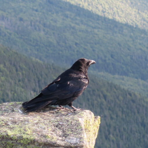
Owl’s Head Mountain (4,029 feet, LIDAR). Western Pemigewasset Wilderness, NH. 2024-11-03 (Sunday.)
Via Lincoln Woods Trail, Black Pond Bushwhack, Lincoln Brook Trail, Brutus Bushwhack. Approx 16 miles. About 16 miles round-trip.
Sometimes getting lost is a great thing.
30 dF at the trailhead. As things warmed up, temps were in the low 40s down low, in the upper 30s dF at the summit. Winds were negligible in the lower elevations, a cooling breeze on the slopes and on the summit. Unbridled sunshine and crystal clear blue skies throughout.
Trailhead: 0730. Summit: 1200. Some exploring up top on the north side had me descending around 1230. Car: 1700.
Even as you may be crowned by love, so too will you be crucified by your love.
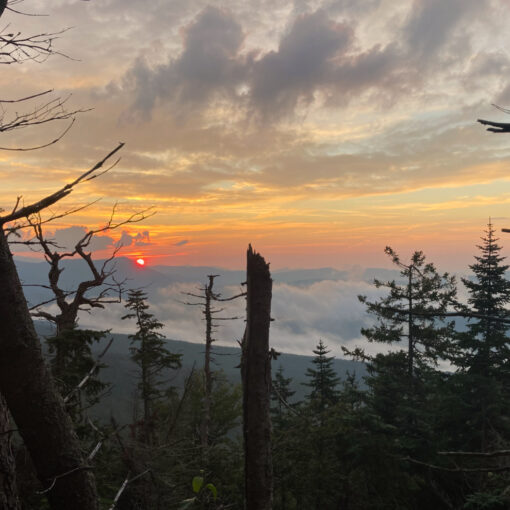
My last outing, where I closed out October for my grid, left me wanting. Since then, with the clarifying agent called time, things are starting to come into focus on that one. There was no similar baggage yesterday. As the sun rose above the surrounding mountains, I was mowing down miles in Lincoln Woods, at peace, with the river keeping me company. To be fair, there was an urgency in those opening miles — I had a long day in front of me. But there was a palpable lightness of being to the start that defined the rest of the day.
Somewhere along the way, I think I’ve backed away from “Type II fun.” That is to say, things haven’t had an air of “so there I was…” with the attendant sense of danger, discomfort, and whatnot. Still, I think just on sheer mileage, Owl’s Head qualifies on some level. Just as the crow flies, whether you come from the south, as is common, or for some crazy reason, decide to come from the north, you’re in for a very long day. Climbing the mountain itself is hard by anyone’s account, even if it’s mercifully short. There are other mountains that stand taller which give up the goods much easier. Washington, for example… not hard to wrap that one up in 2-3 hours less time. Owl’s Head? Maybe Leonard Cohen did it well when he sang “she broke your throne and she cut your hair. And from your lips, she drew the Hallelujah.” This is a back breaker of a hike by any measure.
Even with all that, I think a lot of the tone is set from the basic familiarity of its starting line. Look around at the trailheads for all of the 48, and Lincoln Woods is pretty unique in being the jumping off point for as many as three separate entries on the list. Sure, you can go to Appalachia and have something similar, except not really. You have your choice of three peaks via several trails. From Lincoln Woods, you’re funneled down the same trail at the start, which means as you continue knocking stuff off your 48 list, you could still be starting at the same jumping-off point. Flume, Owl’s Head, the Bonds, a Pemi Loop… and don’t forget you can have a fulfilling odyssey enjoying the east side of the Pemi Wilderness, too. If you’re local, it’s a great place to take the dogs out on your daily constitutional. So. Much. Stuff.
Sometimes love runs cold.
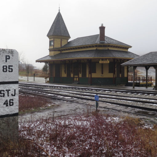
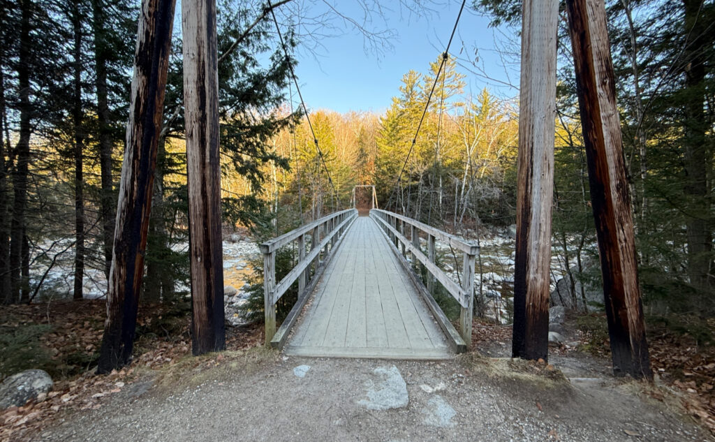
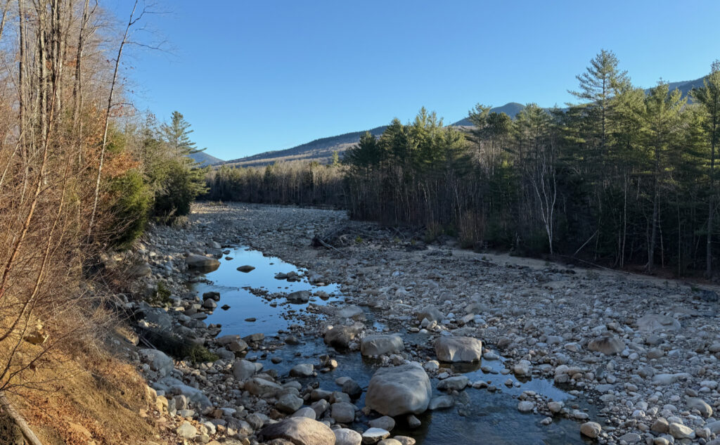
So it was when I started out, parking in the familiar lot, noticing some cars had frost all over them, some clean and clear. The air had a bite to it with the sun notionally up, but still not over the mountaintops. There’s that feeling when you get out of the car, you had the heat on all the drive up, and now it’s time to sit in the much colder air, lacing up your boots, getting things ready, getting going. A necessary evil. But then, underfoot, the familiar bounce and spring of the bridge across the river, the right turn at the end, and a very long, quite flat walk across several miles of an old railway bed. Listen carefully. You can still hear the whistle blowing!
My first AMC White Mountain Guide was the 25th edition. We’re now on the 31st, and a lot has changed even since then. I looked back to some of my earlier editions — 1931 as a matter of fact. The maps in the older guides lay out the logging railroads that zig-zagged all over the region. Time and again, I walk along the old rail beds, and sometimes, I can hear the whoosh of the steam locomotives on the wind. So too on this hike. That sense was everywhere. There’s a real “salt of the earth” vibe to this one, for sure. Look around, and you see history everywhere.
Love works in mysterious ways.
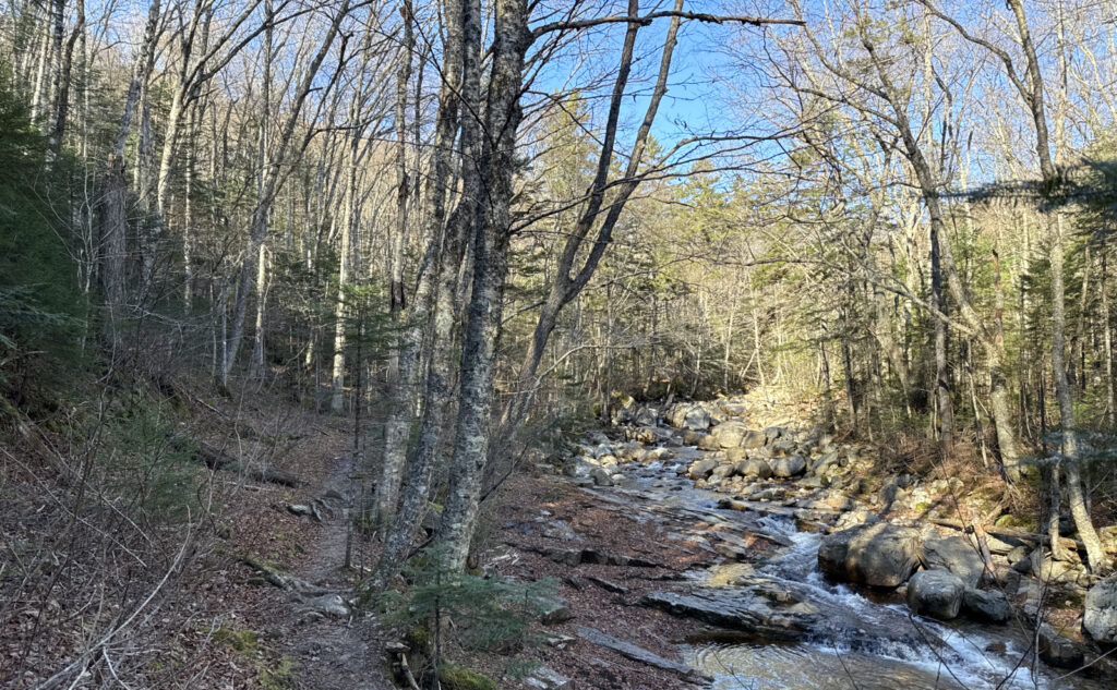
Before long… OK, that phrase means a lot of things to anyone, none of them distinct. It wasn’t a lot of hours, and compared to actually climbing the mountain itself, I was in my own private slice of heaven. I can’t explain, but there are places in the Whites where I feel wonderfully at home, at peace with everything. Maybe this is what’s bugging me about Hale and Cannon: those are great hikes, but there isn’t the same sense of home. Add some wilderness, maybe we got something to talk about. But especially when you can hear all the traffic down below on Cannon, let’s just leave it at “it’s a different hike, a different trail.”
I remember an NHPR reporter once, asking me if Owl’s Head was the “worst” of the 48 list. Rather pointedly, I wasn’t at all politically correct when I described the hike as a ball-buster. Mea culpa, and by that, I’m saying I don’t care at all what other people may think about that comment. I own it. Merrily. But all the same, I channeled Jack Kennedy, when he said “we do these things… not because they are easy, but because they are hard.” When you’re hiking up Owl’s Head, you ought to know you’re in for a special kind of insanity. It’s not the worst of the 48, that’s for sure. Maybe that’s the Hancocks. Crazy steep, just like Owl’s Head. But the suffering isn’t the same. Not as cleansing of the soul. Owl’s Head is long, it’s steep, it has no real views, it beats you senseless. When you’re done, you’re utterly exhausted. And if you’re one of the chosen few, elated. Recharged. Ready for the next one.
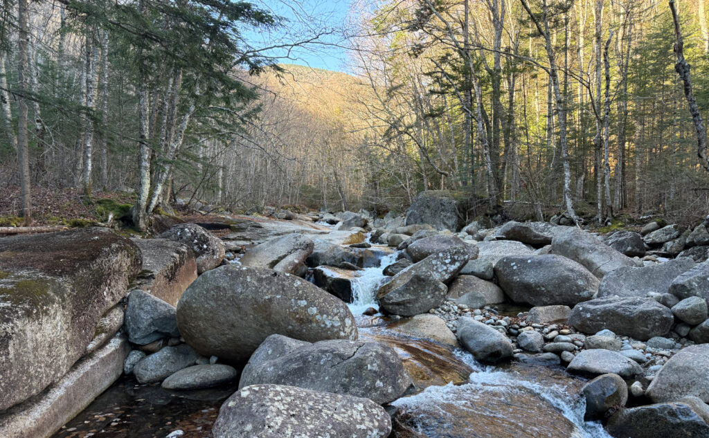
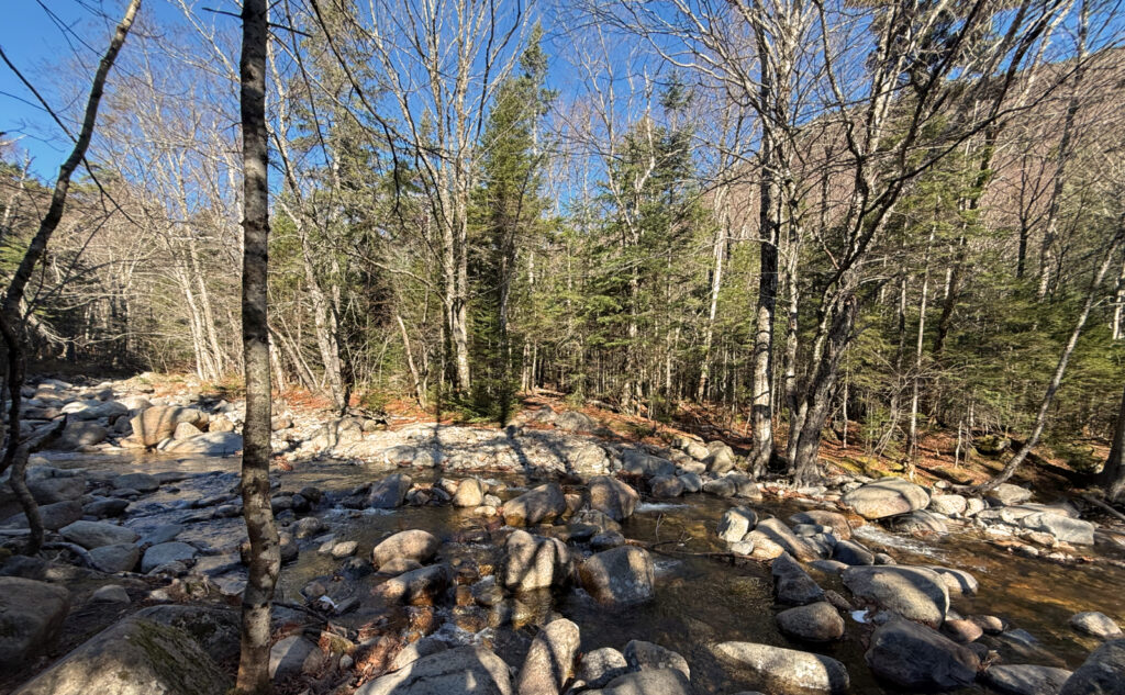
I crossed a lot of miles, no shortage of muddy bits, and some amount of actual water. This was my sixth foray into this special part of the Pemigewasset. And in all of that, my heart leapt, over and over, in sheer bliss. I was home. I emphatically disagree with that NHPR reporter. This is one of the best of the 48. I’ll come out here just to hike the low bits, no need to hike up the actual mountain. This is hallowed ground.
You so often hurt those who love you.
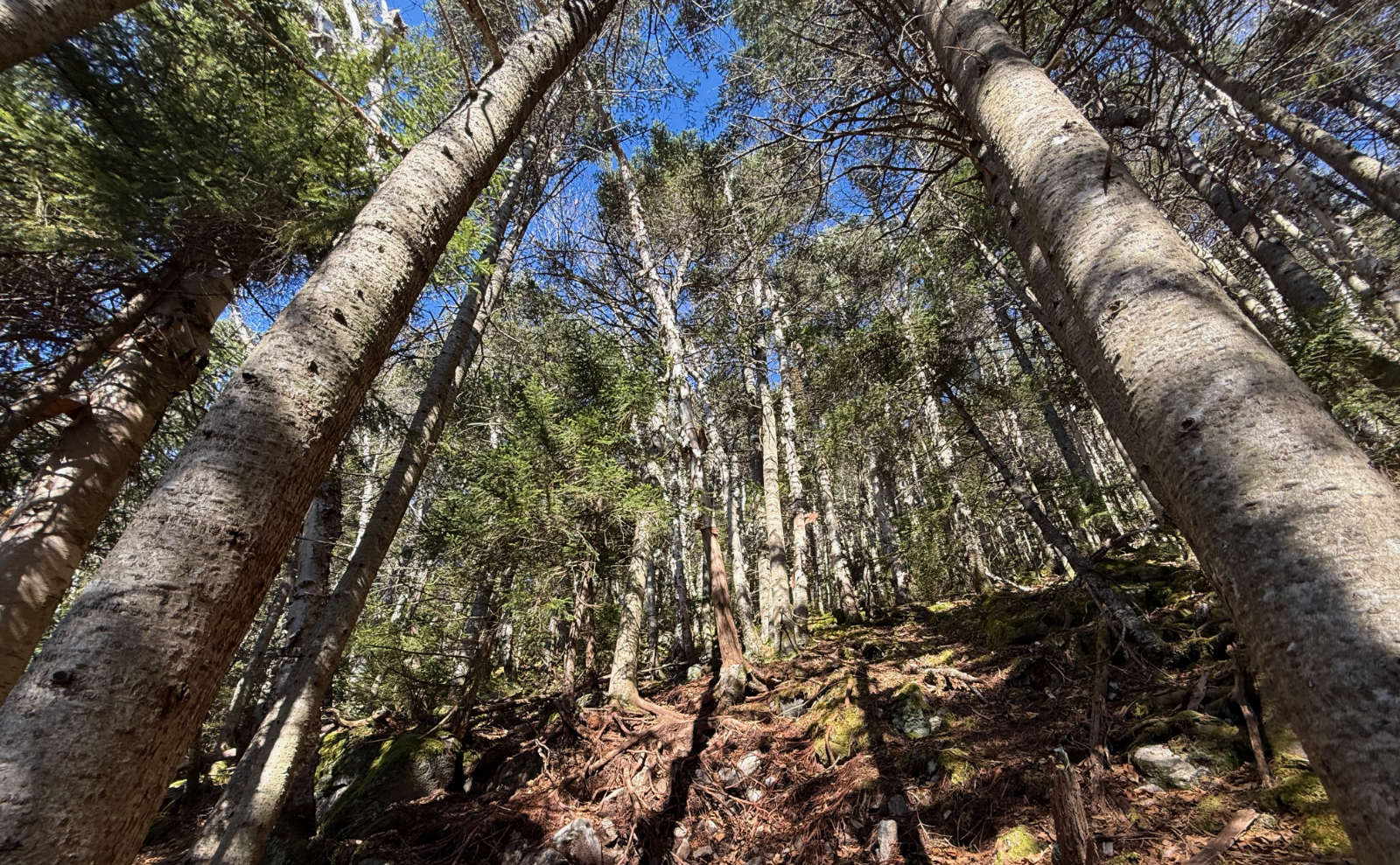
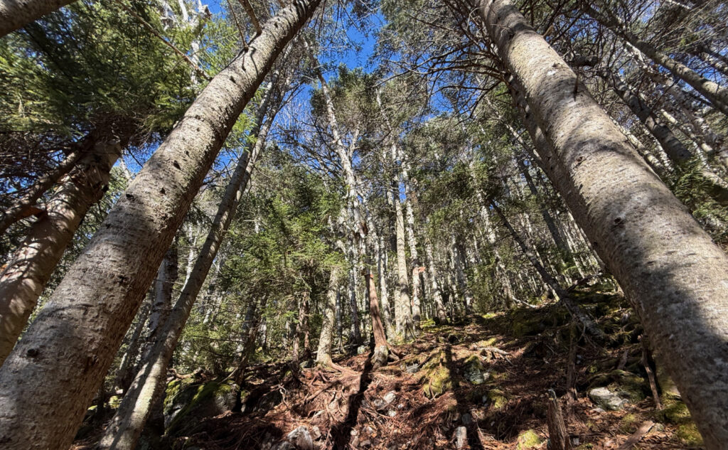
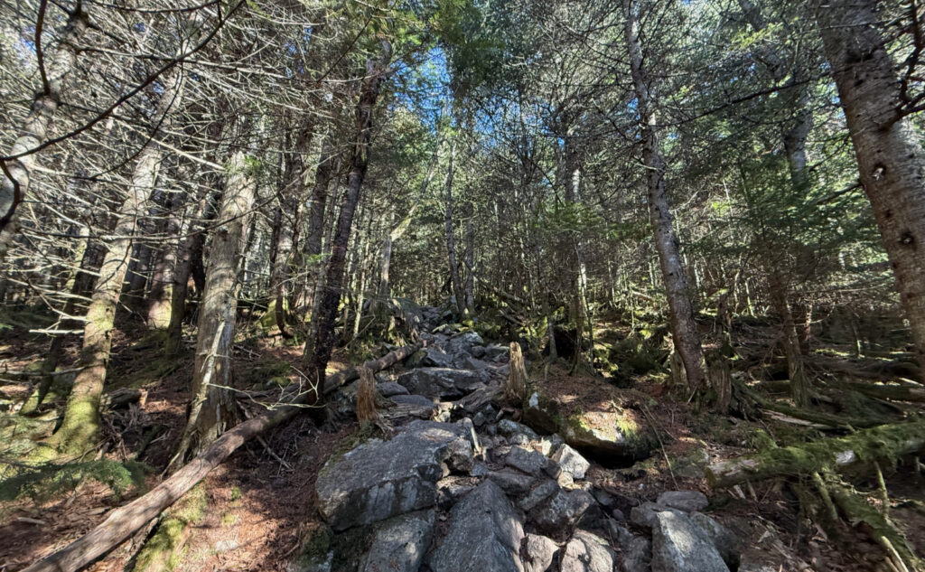
Brutus Bushwhack was a solid thump, and I don’t know a day when it wasn’t. I did a lot of sweating, a lot of questioning my life choices. It’s hard, maybe not as much as the slide that’s not far away, but you gotta commit. Know going in that the slope can be as steep as 45 degrees in more than a few parts. You get your steps in just getting to this point, and then you get your stair climber workout just to make sure your legs are well and truly cooked.
There’s several places where you can look out here and there, not see anything concrete, but still make out the nearby mountains, as well as some of the contours of the valley below. The mountain is famous for its lack of a real view, but don’t go thinking you won’t see anything. Modulate your expectations, and you’ll see plenty. This is the place to look inward more than outward. But the steep bits do seem to have more “views” over the surrounding countryside than anywhere else, if that’s any kind of consolation. Look inward, but don’t forget to look around from time to time. With patience, you’ll see more than you expect.
Home, where my love lies
Nearer the summit, it was a moment vaguely reminiscent of when I finished the worst of the North Slide of Tripyramid. You kinda know you’re at the top, and the last bit is only getting there in an official sense. The steepness broke. And then, I was in the magical part of Owl’s Head. It’s this space, one where the masses are not. Every time I get there, I feel the same sense of remove. The remoteness is palpable, and with it comes a spiritual calm.
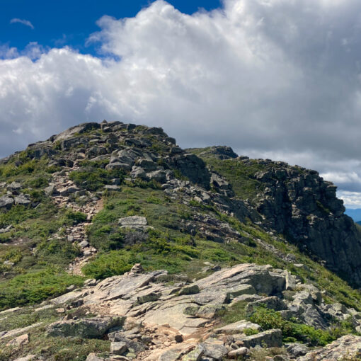
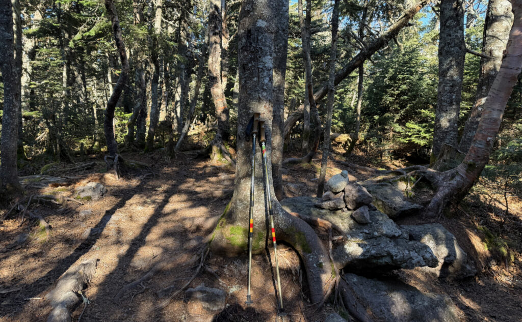
There’s this bit of hiking, nearly flat, across the summit to get to the actual high point. A narrow, windy path that leads here and there, but always forward. The summit cairn as I’ve known it has taken different forms over the years, but never more than a few stones. Don’t expect something by Andy Goldsworthy, but really, what do you need? You just hiked eight miles through some of the most remote parts of the Whites. The worst part is yet to come… now, you need to go back home to civilization. Your cellphone will have signal at some point, you’ll have to return calls, answer emails, clean yourself up and be presentable, deal with stupid things.
I turned back after noodling around a bit, having explored a path northward that looked like it could have come down on the west side, around half a mile or so north of the herd path. I was putting off what I didn’t want to do, which is head back. Inevitably, and with no shortage of melancholy, I did so, feeling a tugging the whole way. It’s tough getting there, but in the depths of the difficulty lies magic, and you just don’t want to let go of that fleeting moment of narcotic, intoxicating bliss…
As always, stay safe out there.
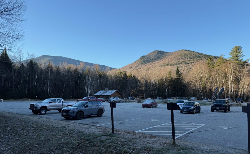
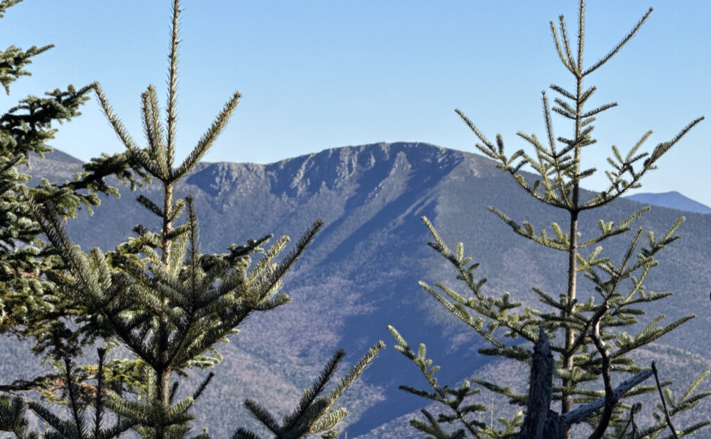
Nuts and Bolts: Nuts and Bolts: Head to the Lincoln Woods trailhead. From points south, take 93 north to exit 32, and drive about five miles out of town. Once you cross the bridge over the East Branch of the Pemigewasset River, turn left into the parking area. The trailhead is over by the ranger station. I like the AMC’s map #2 for that area.
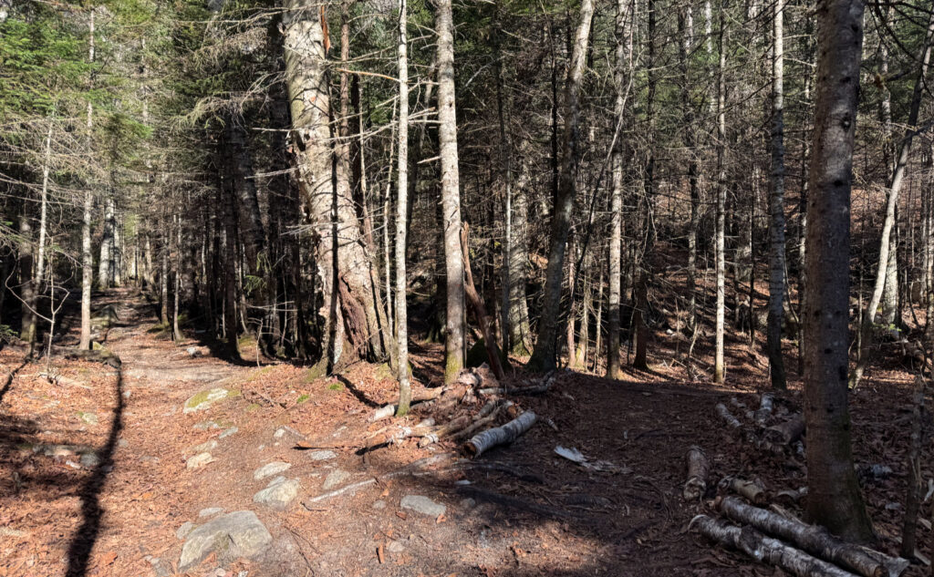
Blazes are yellow for the Black Pond trail and non-existent everywhere else. Occasionally there are cairns, but don’t count on them. The Forest Service can remove any they find, and it’s only from benign neglect that any might exist.
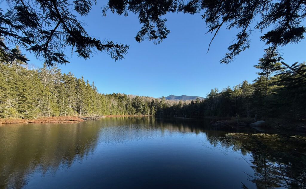
The Black Pond bushwhack is accessed from the far side of the pond, and trends north by northwest for about a mile, before joining with the Lincoln Brook trail. Once you’re well and truly past the pond, you should be able to follow the bushwhack easily enough. There’s talk that the USFS is going to make this an established trail. Stay tuned.
Brutus bushwhack is about 100 paces after the water crossing before the herd path. Go about ten paces into the woods before hooking hard to the left and going straight uphill before turning to the right (east). At the rocky drainage at about 3,000 feet, hook hard left (north) and continue “due up” until you collide with the herd path a little above 3,400 feet. A lot of it is going NE, and uphill. When you get to the fallen trees, go a little bit further. Trust me. After that point, the way “up” will be apparent. As of this writing, you’ll pass a couple cairns. But don’t count on any kind of guidepost. You’re in a wilderness area.
The history of Owl’s Head over the last century or so is one of massive logging on an industrial scale. JE Henry and his men were very methodical in their clear-cutting the forest in this area, and the remains of their toils are evident. The bold will see their old camps as fine areas to spend the night. I won’t disagree. However, know that bears are existent in these parts — you’re passing through their living room. Practice proper food handling and storage, and ensure a hungry bruin doesn’t get the wrong idea.
“A fed bear is a dead bear.” Our ursine friends are hallmarks of a healthy forest, and intrinsic components of a healthy ecosystem. Unfortunately they’re easily trained to enjoy our calorie-dense foods, and sometimes get too smart for their own good. Don’t make life hard for them by making an easy meal for them.
If you enjoy reading these posts, please subscribe — stay in the loop! Your email will only be used to alert you of new posts — typically 1-2 times per week. I will not use or share your email for any other purpose without your express permission. And feel free to share via social media using the buttons below.
Find me in the mountains, on this blog, or on YouTube: https://www.youtube.com/@proteanwanderer
Help support this blog! Visit www.photos.proteanwanderer.com to buy some of my signature images.
