First of the month, unexpected weather!
Mt Washington and Mt Monroe. 2018-06-02 (Saturday.) Via the Ammonoosuc Ravine trail, Crawford Path, Mt Monroe Loop trail.. Approx 10 miles.
Washington: 6288 feet, Monroe: 5372 feet.
65 dF at trailhead, 48 at MW Observatory (approx 14:30). Winds in the 20-25 MPH range, gusting to approx 40 MPH. Cloudy, becoming sunny in the afternoon with 80 mile visibility.
Trailhead: 1220. Lakes of the Clouds hut: 1420. Washington summit: 1530 (left at 1615). Monroe summit: 1720. Car: 1945.
Initially, I was concerned about the forecast for wind gusts in the 40 MPH range, but the forecast was otherwise for good weather, so I decided to go for it. As things turned out, it was a smart move. Beginning a hike in clouds, only to have the sky clean up its act in the afternoon, is the way to do it.
I got to the trailhead much later than I wanted, but I figured things would work out. All indications were that I’d enjoy a relatively quick hike to the Lakes of the Clouds hut, and from there, a short jaunt to the summit of Washington, and an even shorter hop to the summit of Monroe.
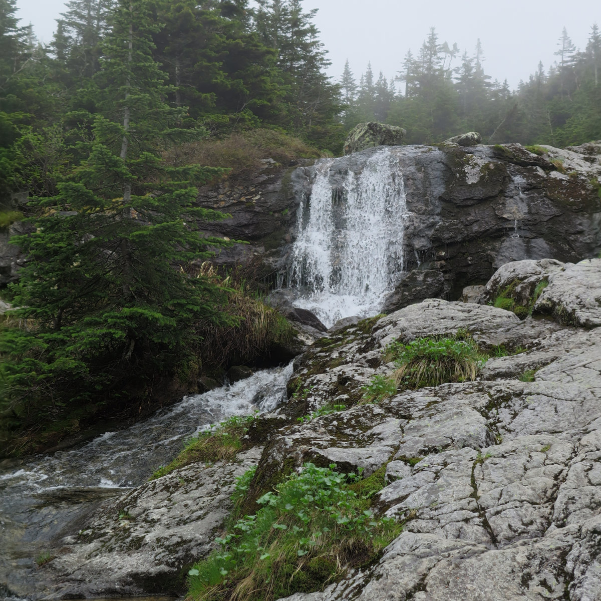
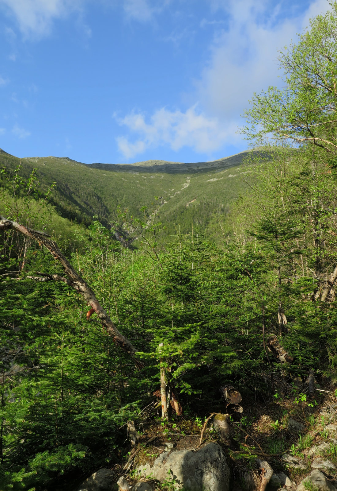
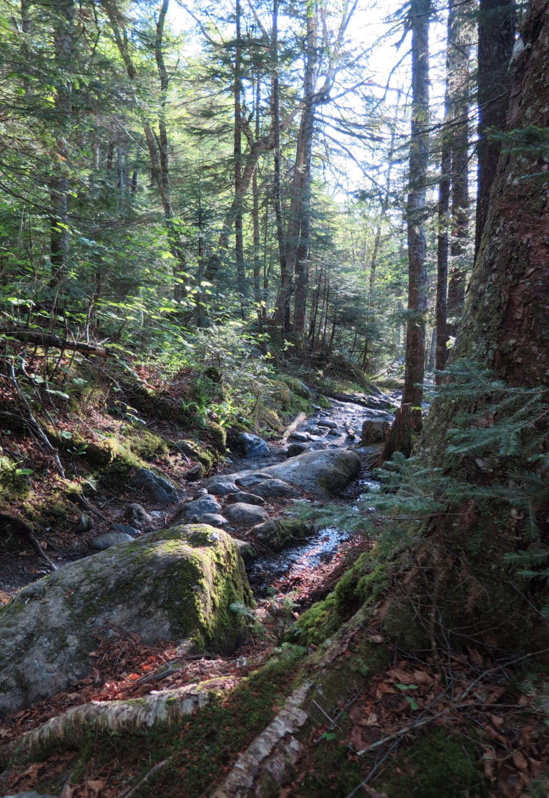
The first bit of the Ammonoosuc Ravine trail was set at a fairly low grade, and despite a lot of mud and wet rock, I made good time. The Cog Railway passed by a couple times, never close enough to see, but certainly close enough to hear. Human development on Mt Washington has been going on for more than a century, so it’s not a “wild” experience. That being said, within about an hour, the trail hewed fairly closely to the headwaters of Ammonoosuc Brook, and there were abundant waterfalls to drown out any extraneous noise. It was at once scenic and calming.
But those abundant waterfalls come at a price, and that’s paid in degrees. The AMC suggests the trail angles upward by as much as 45 degrees, and it certainly felt that way. If you’re going to ascend a 6,288 foot mountain swiftly, there’s really only one way to do it. With the cloudy and humid weather, the exposed rock ledges were a bit slippery at times. I wouldn’t say it was treacherous, but I did have to think about where I put my foot more than a few times.
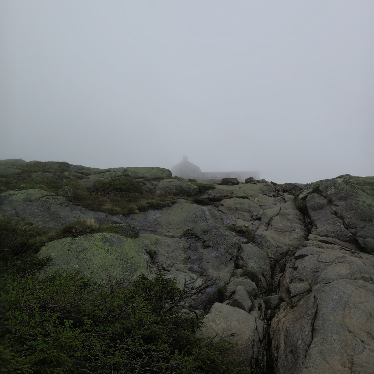
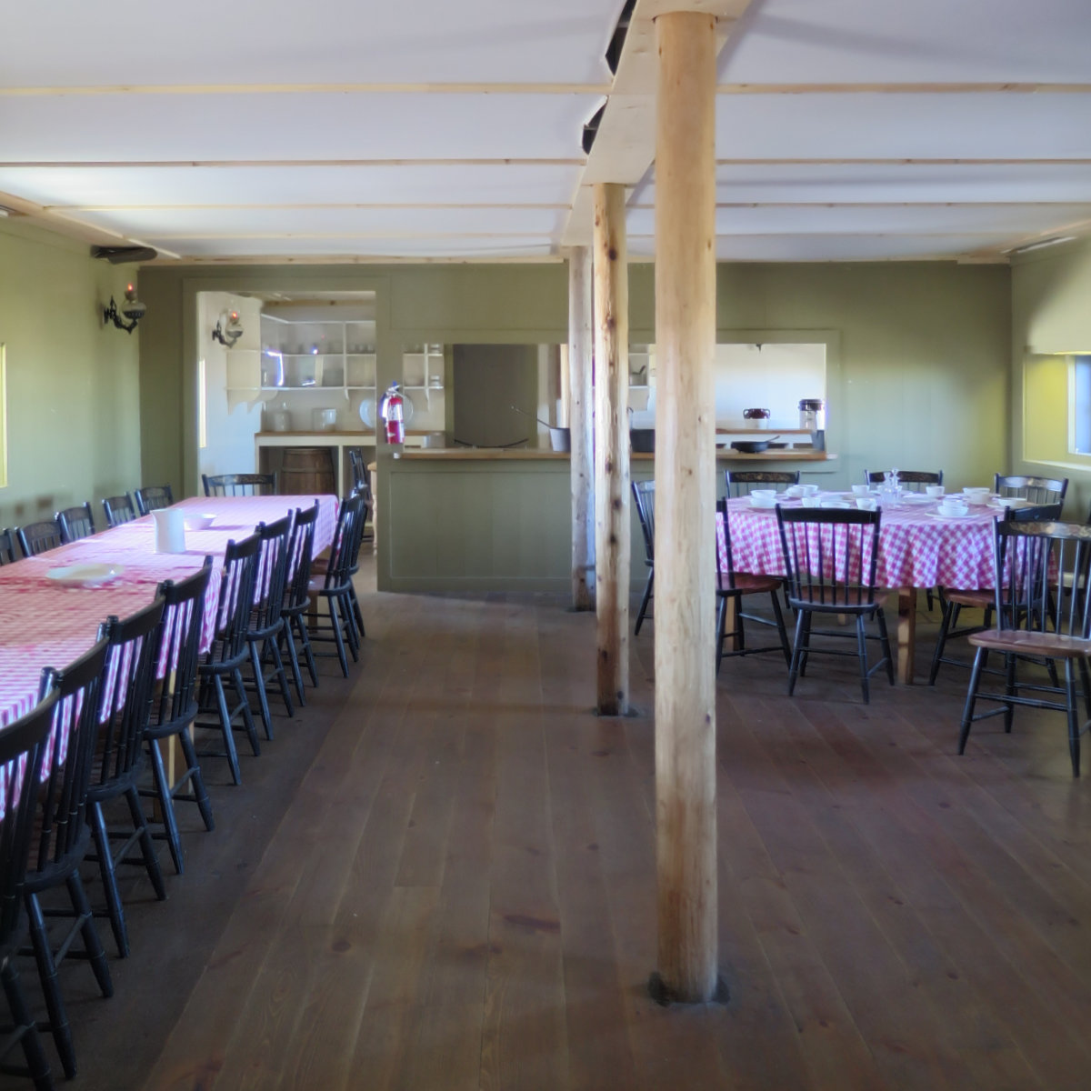
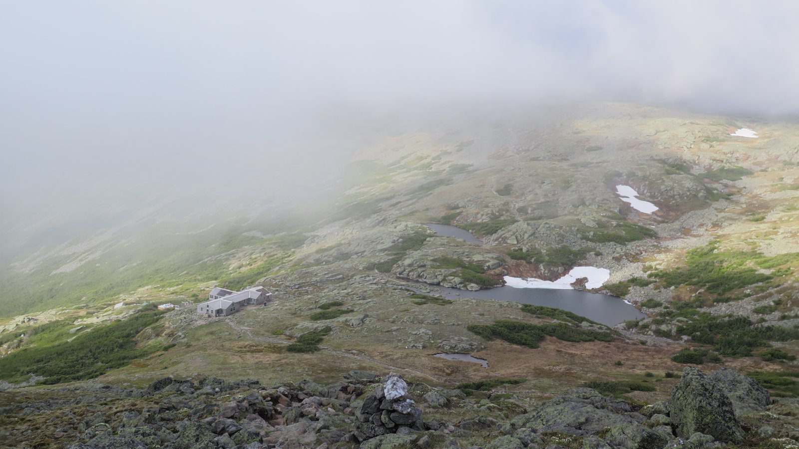
It didn’t feel like I was on the trail that long before I looked up and saw a dark silhouette through the clouds, maybe 100 yards in front of me. I’d arrived at the aptly Lakes of the Clouds hut, and I was still very much on schedule, despite my penchant for stopping nearly everywhere to take pictures. I topped off my water bottle, and got an update from the croo, and while I was there, got another stamp in my High Huts book. There was a young lady who hiked in from Springer Mountain, having started in February. Awesome.
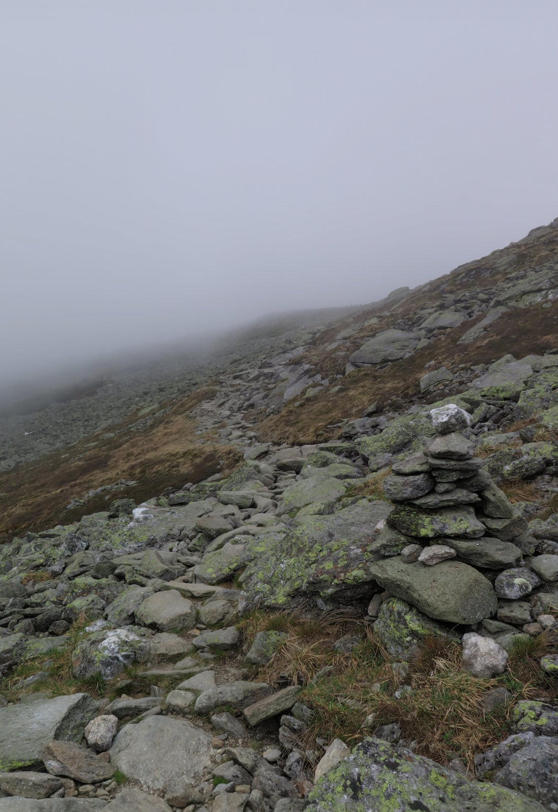
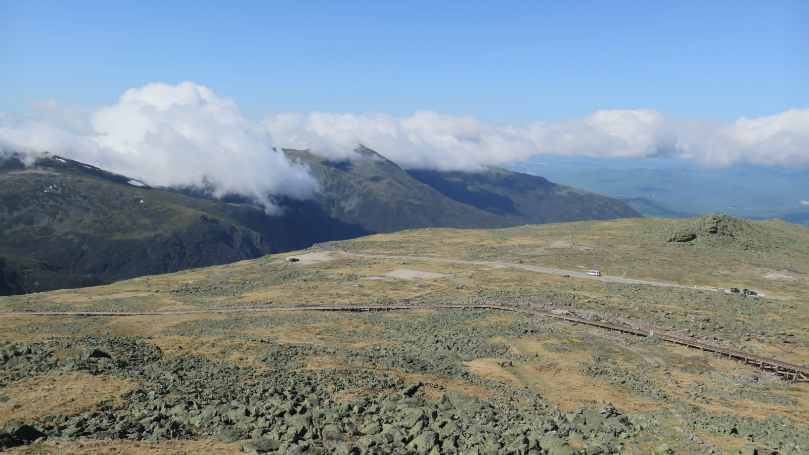
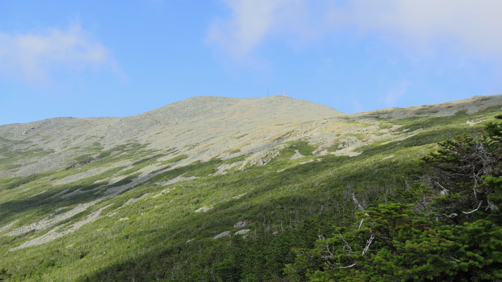
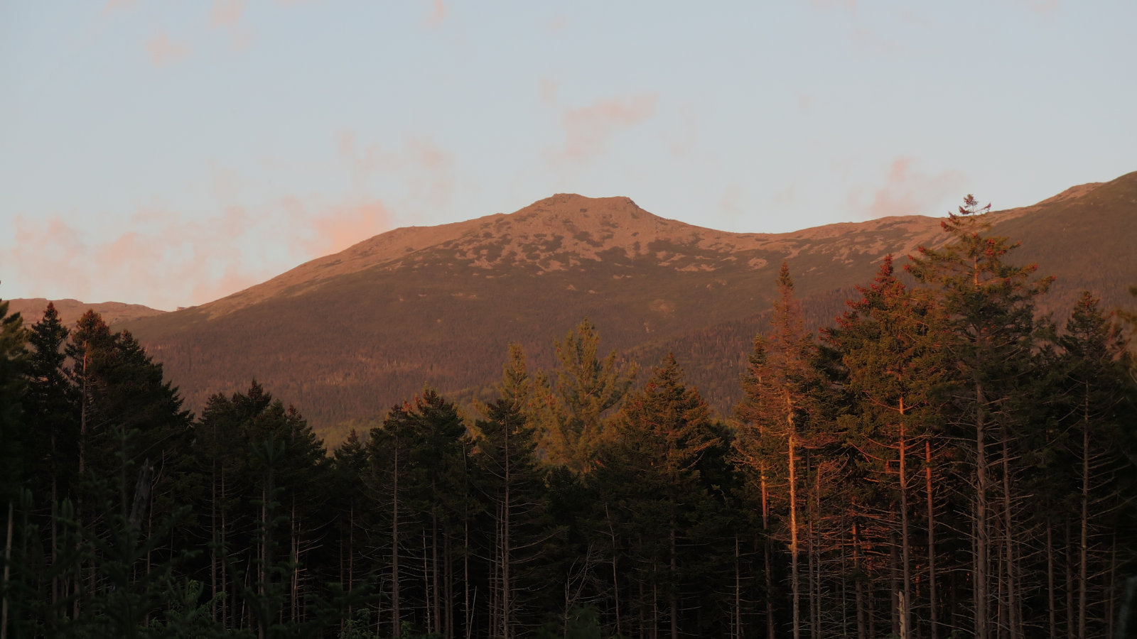
Setting off for Washington, the clouds persisted. The value of cairns can’t be overstated. Oddly, I found the cairns were typically topped off with a large quartz rock. But as the clouds shifted and thinned out, I realized that there are a lot of quartz outcroppings pretty much everywhere. Wow! The mountain’s nickname of “the rock pile” was abundantly clear. While I didn’t get slowed down much, it looked pretty amazing seeing, basically, a mountain-sized pile of rocks. Very much in stark contrast to how the other mountains in the region appear near their summits. And as I continued to climb, the clouds continued to thin, until it was undeniably sunny, and hello, superlative views!
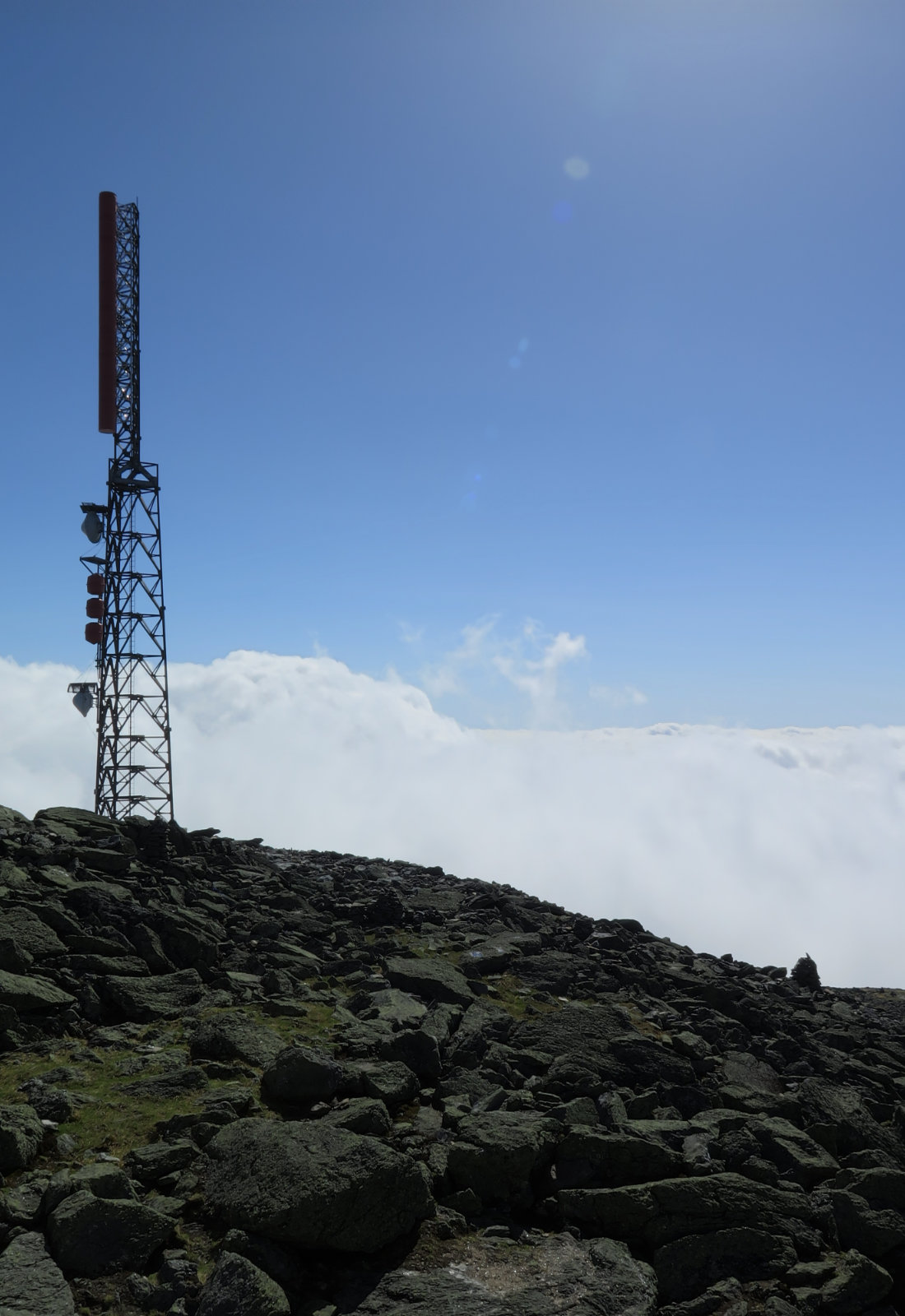
The summit of Mt Washington is the outlier. Snack shop, souvenirs, cars, and a railway terminus. Part of me is still wrapping my head around that carnival atmosphere. I poked around, visiting the Tip-Top house, stopping in the snack shop (the whoopie pies are tasty!) and picking up some small gifts for friends. And then, utterly unexpectedly, I bumped into some friends who were taking a break from skiing Tuckerman’s Ravine. So that was nice.
Then it was time to turn back to the trail. I raced back to the hut, refilled my water again, and then stood on Monroe after probably 15 minutes of steep but not that difficult hiking. Really, it’s that close. It was really socked in clouds, so some helpful hikers pointed out that a false summit was ahead — to look out for the highest rock, with an embedded steel pin on top. “You’ll know it when you see it.” And indeed, that was the case.
Returning, the clouds were lifting off the col, and the huts denizens were enjoying the late afternoon views, and warming weather. I turned back down the trail and made my way to the car. The ledges had dried out a little, so the way down wasn’t as slippery on the way up, but I can see why all the guide books talk about wet trail conditions. The waterfalls kept me company, and in the amber sunshine, seemed to almost glow at times. Lower down, some parts of the trail, still wet and muddy, glistened in the most magical way. And then I heard the sounds of cars passing by, turned around a bend, and arrived back at the trailhead.
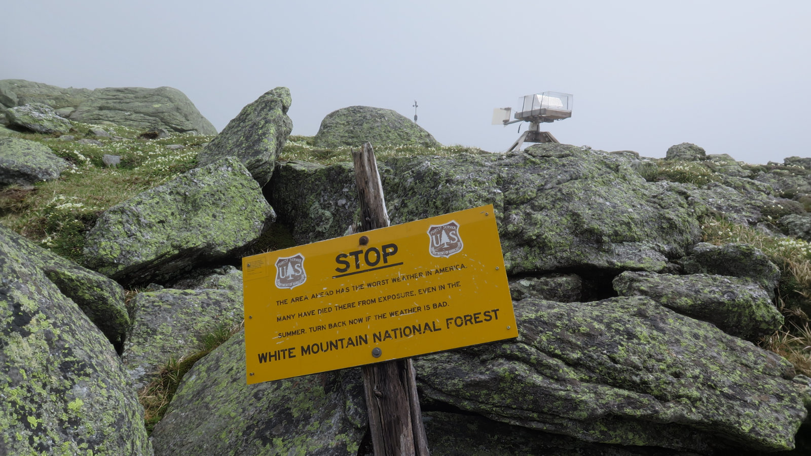
So that was 33 and 34 on the list. I have 14 left to go. Washington has a well earned reputation for having some of the deadliest weather on the planet, so that should never be under estimated. But at the same time, if you’re smart about checking the forecasts and being careful, it has an equally well earned reputation of having some of the finest views, and best hiking around. I will say the summit atmosphere is unique, and a bit disconcerting. But it’s something that adds to the magic of the Whites.
If you enjoy reading these posts, consider subscribing. Your email will only be used to alert you of new posts — typically 1-2 times per week. I will not use or share your email for any other purpose without your express permission.
5 thoughts on “Trip Report: Mt Washington and Mt Monroe”