North Pack Monadnock (2,278 feet). Greenfield, NH. 2021-04-28 (Wednesday.)
Via Ted’s Trail and Carolyn’s Trail (includes a short “spur” up Cliff Walk.) Approx 6 miles round-trip.
Warm spring weather. Winds were negligible. Cloudy throughout with brief episodes of minor rain sprinkles.
Trailhead: 1515. Summit: 1700. Car: 1800.
Hike this sooner, I should.
Last week, for various reasons, hiking didn’t happen. Not the least, but foot issues remain a thing. Folks, take care of your feet. Most of everything you do in life comes down to those two stoic little stumps that, no kidding, support your entire body while you’re busy making a name for yourself, however heroic. When they start to gripe, listen. Take it from me: there’s nothing so frustrating as having a doctor say “no really, you need to lay low for a few weeks.” I’m always wanting to dodge a doctor’s attentions, so I’m voluntarily going a bit slower for a bit. Listen to your body. It knows more than you’ll ever appreciate.
Anyway… there’s a not-so-fine line between being prudent and going utterly berserk. I don’t want to go crazy, so getting outside is a no-brainer. I’d wanted to hike up the Twins and possibly Zealand. To do so coming in from North Twin would have required fording the river, and it’s springtime. Any hopes that the crossing wouldn’t be fraught with danger are utter folly. Reports were that the snow is still deep in the higher elevations, snowshoes basically required; that also means the mountains are shedding a lot of water. There’s no possible way the Little River would be little.
So, the alternative is to come in from Galehead, which is a perfectly sensible idea. But see my previous comments about feet, and just the idea of squashing my toes inside of snowshoe bindings “one last time” this season made me rethink my plans right off the bat. Not the least, there’s that soul crushing mile climbing from the top of South Twin back down to Galehead. A quite pedestrian crossing over to North, but hot damn, that initial climb… South Twin is just shy of 5,000 feet, and that section of the Twinway doesn’t let you miss the finer details of that truth.
I’m indecisive… no I’m not… oh yes, I am…
I was laboring over the decision. My list has South Twin, Zealand, Lincoln, and Lafayette left to finish my 4th go around the 48. As it’s a spiritual home, it feels natural to finish #4 on Franconia Ridge, and so I wanted to leave that one on the shelf for now. What else is there? I can be indecisive sometimes. Not really, though, just somewhat. I mean, I *can* make decisions…
And then it hit me. Someone had once mentioned a variation on North Pack Monadnock, and that the views are killer. Hiking anything around that area from the state park side requires tedious mucking about making reservations. But North Pack is outside the state park, especially from the north side, which truly has nothing to do with it. New Trail Exploration! It’s not a long drive, it’s a low-key trail, no snow, soft footing. In short, everything I wanted… I mean, the weather could have been nicer, but you can’t wait around for sunny days. (Or you can, but you’ll miss a lot in doing so.)
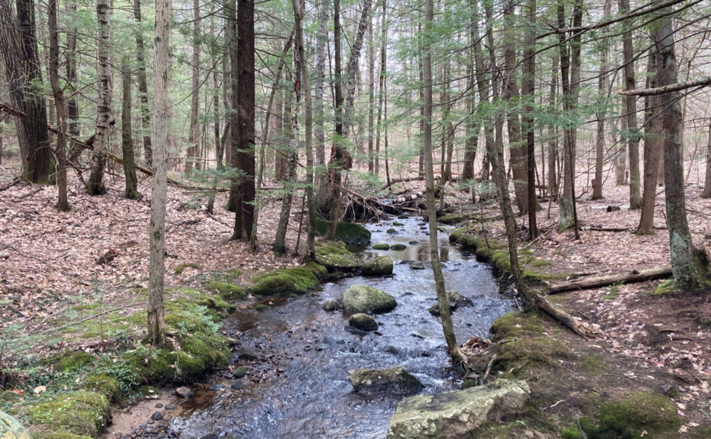
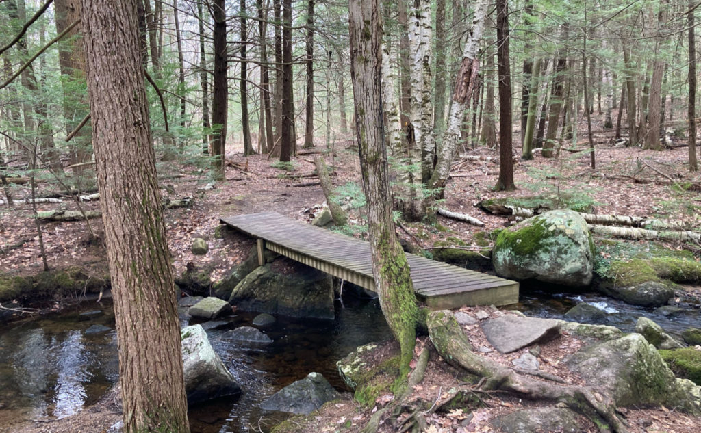
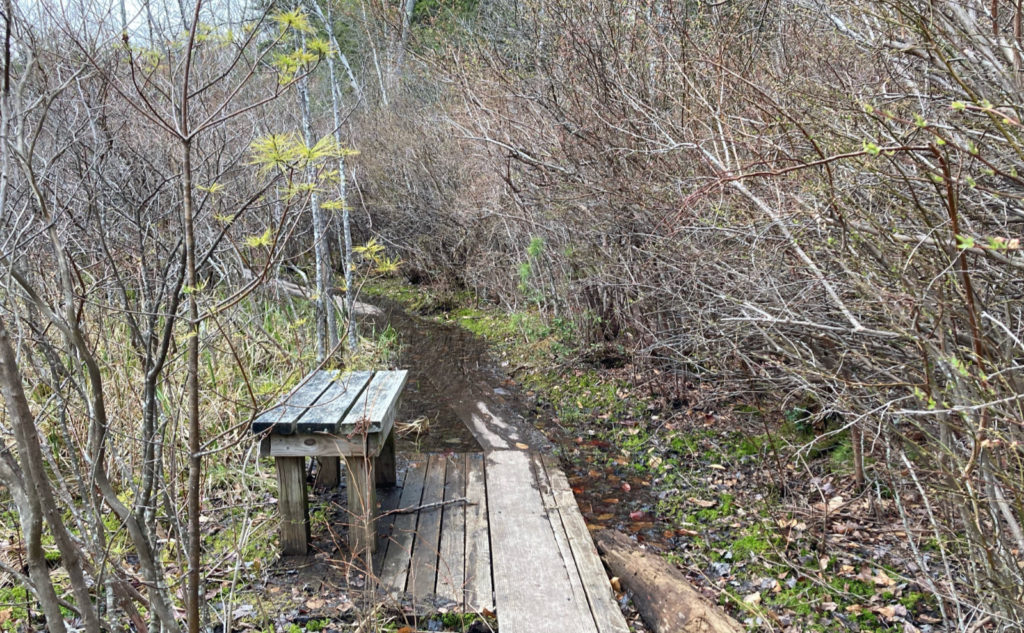
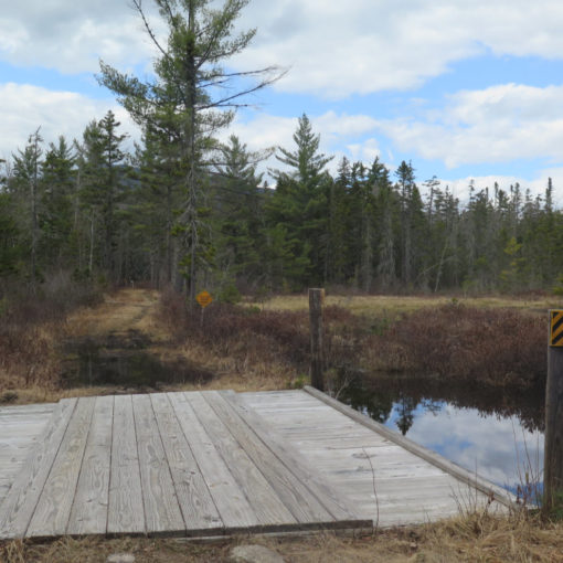
I got to the trailhead, and was the only car there. Suits me fine! Immediately, I was welcomed by a trail covered in soft duff, a bit muddy in places, but mainly dry. Down low, it follows a brook, and there were a few wooden bridges to cross. I dodged a mud puddle here and there, but as the grade swept upward gently, those diminished in size and number steadily.
Looping around and around…
The two trails form an elongated loop, and curiously, there are a couple points where you’ll find a crossover from one to the other. One was all of 150 feet — you can spot the signs from either end — and those crossings have abundant blazes. Heck, the whole time I was out, I never wanted for a blaze. Ever.
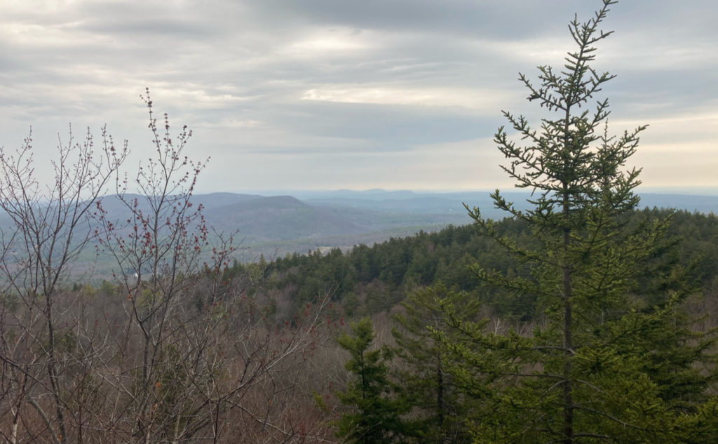
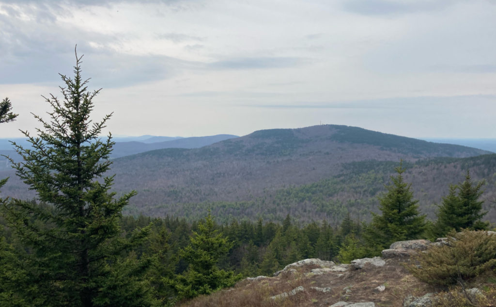
Nearing the top, things got a little ledgy, and at a couple points, the trees broke open, revealing magnificent vistas from north to south. Alas, with the cloudy weather, it wasn’t a curve of the earth day that might have netted views of the Whites. But as it was, I could see Wachusett, the Uncanoonucs, and Crotched Mountain. Attenuated, but not without views of something. I pressed on.
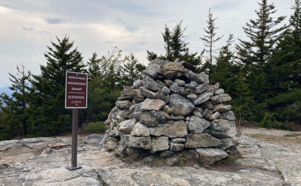
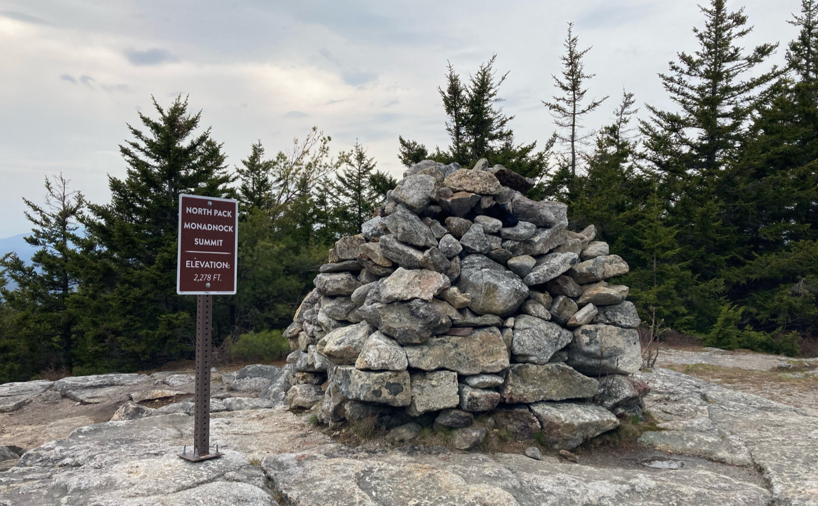
Ted’s Trail ended at the Cliff Walk, and soon, the unmistakable gigantic cairn was in front of me. Huzzah! It was a somewhat meandering path to get up here, and now I was looking at the more direct route back, along Carolyn’s Trail. I descended. The way going was naturally quicker, going all downhill, so I made much faster time. Notably, there weren’t any ledges on this side — if you’re looking for the views, you need to take Ted’s Trail, or at least plan on using one of the crossovers.
Wherever you go, there you are…
Sometimes, all you want is to get outside. There’s a lot of fun in hiking the glamorous peaks, standing on the summit where you have an unrestricted, 360 degree view of everything around. There’s nothing wrong with that. But for those other days, the sublime is found in the quietude. You, the trail, the mountain, fresh air. Nothing else, certainly no pretense, certainly no crowds. Hiking North Pack Monadnock had all that in spades. The lower elevation peaks, closer to home, keep impressing a tiny, yet crucial point on me. A reminder that sometimes what you need is just under your nose.
As always, stay safe out there.
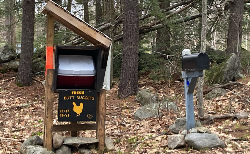
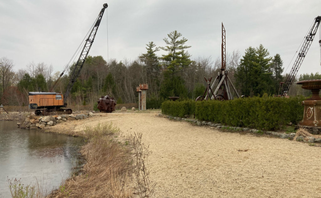
Nuts and Bolts: From the Nashua area, hop on 101 and head west. In Wilton, turn onto Route 31, AKA Forest Road. Stay on Forest, through into Lyndeboro and then Greenfield. At Russel Station Road (notable for the gigantic trebuchet on the opposite corner of the intersection) turn left, and then about 3/4 of a mile later, turn right onto Mountain Road. The intersection isn’t particularly well signed, but there’s a residence selling eggs on the far corner. (In truth, it seems like everyone has eggs for sale in that area.) If, on what you think is Mountain Road you pass a brown sign with a silhouette of a chicken, that reads “Butt Nuggets”, keep going: the trailhead is about 1/4 mile in front of you. (I’m sooooo not making that up.)
Parking is on the right, trailhead is on the left, marked with a small sign. You’re looking for a small lot that’s after Driscoll Road, but before Plowshare Lane. Capacity is about 4 cars, so it’s not terribly hard to miss, or even notice but wonder “is that it?” The trailhead sign on the left is your indication that yes, Virginia, you’re in the right place. You’re not looking for something huge, so keep your eyes peeled.
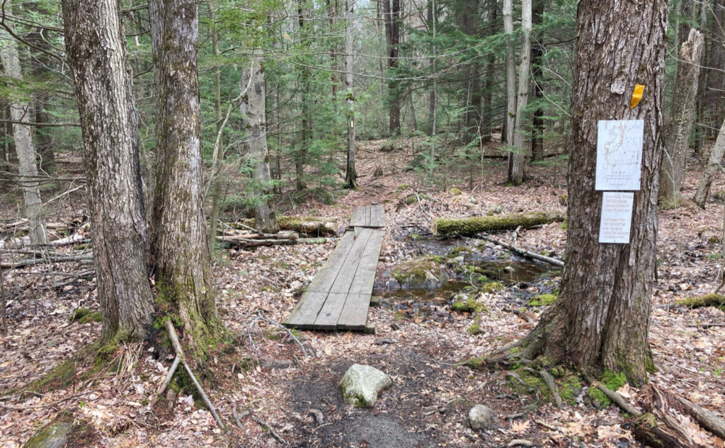
The first bit of trail has a wooden bog-bridge, going over a wet spot, and that’s visible from the road. The kiosk, such that there is one, won’t be found until you’re quite a ways in, for the Wapack National Wildlife Refuge. (About 1 1/2 miles from the road.) It’s basically a large brown sign with a smaller topo map — not like the all-encompassing ones you see all over the Whites. Blazes are yellow and plentiful. The trail itself is quite readily apparent except for a couple small areas near the summit, on Ted’s Trail. If you haven’t seen a blaze in about 100 feet, make a quick check to be sure you’re where you think you are, and adjust your location as needed.
If you enjoy reading these posts, please subscribe — stay in the loop! Your email will only be used to alert you of new posts — typically 1-2 times per week. I will not use or share your email for any other purpose without your express permission. And feel free to share via social media using the buttons below.
10 thoughts on “Trip Report: Surprise on North Pack Monadnock”
If ever in Dublin check out the Monadnock -Sunapee Greenway and take the PumpellyTrail up Monadnock- it says it is heavily trafficked but it isn’t because it is tough. But worth it. If looking for some non-mountain hiking out that way check out Pisgah SF, it is huge and very beautiful.
The north side of the mountain is indeed a good one. I did Pumpelly last year (see: https://www.proteanwanderer.com/2020/07/24/trip-report-thor-on-pumpelly-hiking-mt-monadnock-in-questionable-conditions/) but I thought Marlboro was a much nicer way up. That said, on that mountain, excepting the crowds on the south side, there isn’t a bad trail.
I’ve started a blog too…
https://northsarworkingk9.org/2021/05/29/listen-theres-a-hell-of-a-good-universe-next-door-lets-go-e-e-cummings/
Following!
I really loved that hike! We went a couple years ago, a good choice for the spring. It was a good “Whites” substitute with that water fall. We did another trail off of (I think) Mountain Road, which brings you to the summit of Pack Monadnock. Less than 90 minutes from the Great City of Lawrence!
I have to say, this is likely the first I’ve ever read the words “Great City of Lawrence,” not penned by the mayor’s speechwriter. Then again, I’m no-doubt biased: very few of the people I meet at work are having their best day when they meet me. 😀
If you continue a tad west on Mountain Road, there’s the northern terminus of the Wapack trail, which goes first to the summit of North Pack. I did that one; I think it was about two years ago. Going a bit further west from that, you can hook around south to the west side of the mountain, and there’s the Raymond Trail, which heads up “straight” Pack Monadnock. Stay tuned; that one’s on my list.
I just like that on the “far” side, there’s none of the fuss and bother of securing reservations. I get that they’ve needed to do something about the unchecked hordes of people heading up the White Dot trail (and to a lesser extent, up the south side of Pack) but it feels like they’re making it needlessly tedious for the locals — the people who “own” the mountain, and tend to be the ones picking up the trash and keeping things from falling completely into chaos.
North Pack is a great place to hike when not wanting to drive all the way to the whites. On weekdays, it’s hardly ever crowded. I love it there. Glad you checked it out.
I could draw a box, from the MA/NH border, up to the lakes, and I’d still miss a lot of great places to visit. People forget at their peril that there’s so much more than just the Whites. There’s a lot more than seeking altitude. Just about any town has its forest and local trails, which are the places you’re going to meet the salt of the earth hikers — some of the most interesting people out there. I have no idea why people disregard this simple truth. But hey, if that means less crowded places for the rest of us… oh dear. 😀
Ted’s trail to the cliff walk is a nice easy winter route I did a few times this year. Great views and good shelter from the NW wind for lunch.
I found Carolyn’s trail to be muddy alot and I stopped using it altogether.
I think both stand on their own merits. There are a lot of wildflowers that thrive in wet environments. If you can bear walking (carefully!) on a soggy trail, those are gems for your discovery that you can’t find anywhere else.