Mt Cabot (4,120). Berlin, NH. 2021-09-29 (Wednesday.)
Via Unknown Pond trail, Kilkenny Ridge Trail, The Horn summit spur, Mt Cabot Trail, Bunnell Notch trail. 11.5 miles round-trip.
52 dF at the trailhead, cooler and more breezy at the summit. Winds were negligible in the trees, although certainly felt in the higher elevations, particularly where tree cover nearer the forest floor was more open. Cool, wet, periodic drizzle throughout the day — in a word, sodden.
Trailhead: 1440. Unknown Pond: 1600. The Horn summit: 1700. Cabot summit: 1800. Car: 2015.
What, in the name of the stars, was I thinking?
On mere casual observation, anyone would think I’ve got a penchant for hitting the trail late. Yesterday put a new meaning to that one. Cabot takes forever to get to; one day, if the dispute with the landowner ever gets resolved, there could be a southern route that would make it as easy as Waumbek, whose trailhead is about as easy to get to as Appalachia. For now, approaches from the south require a drive to Milan, and then around five miles to the far side of the fish hatchery. Some days, it feels like driving to Canada, minus crossing the border.
Anyway, I got a supremely late start. By all rights, I should have stuck to the quick, and just gone out Bunnell Notch trail, but I wanted to tag a couple bits of trail for my redlining, and get the two extra peaks for my somewhat neglected hundred highest list. There was also no small amount of wanting to make something of the insane amount of driving I’d be doing. But hey, the trails were going to be easy, right?
Easy is a continuum.
When I headed out from home, the sky was deep blue and with the unbridled sun, it felt perhaps warmer than it actually was. I’m glad I didn’t get faked out by that, because once I got up to the Whites, the weather was a different story entirely. Getting out of my car at the trailhead, clouds were heavy, and the air was beginning to feel wet. It certainly wasn’t a warm autumn day anymore. Finding the trail (it’s behind the kiosk, but the actual opening is a little obscured) I began to make tracks.
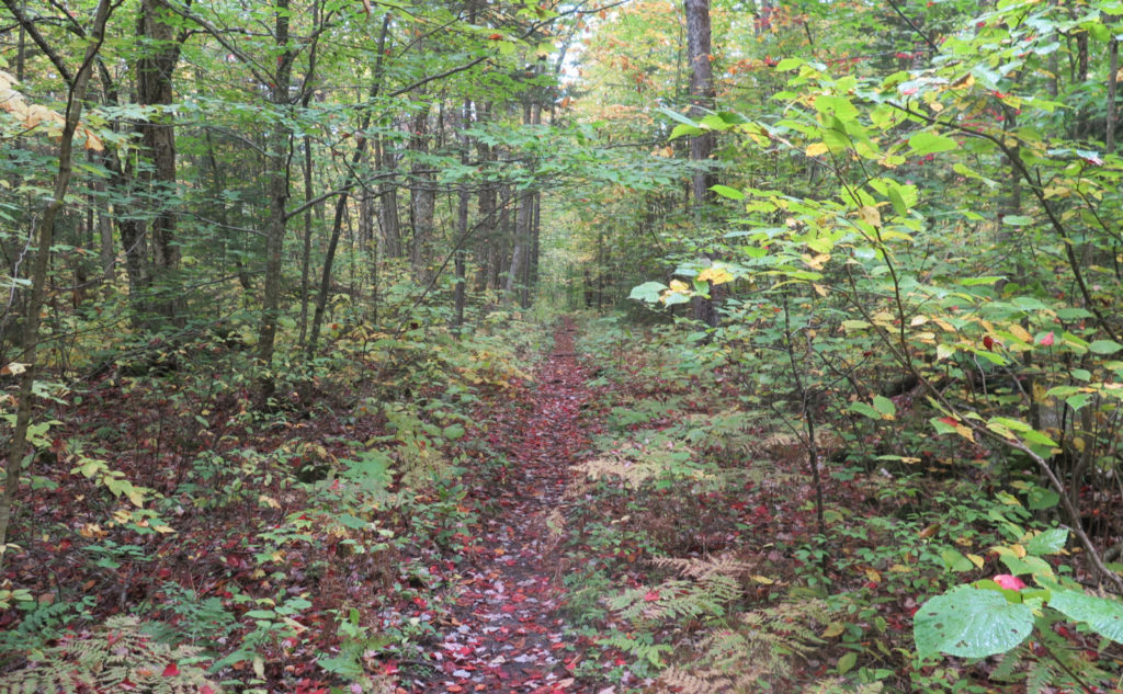
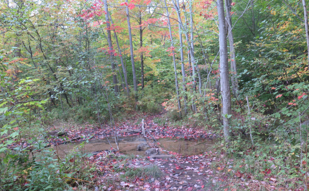
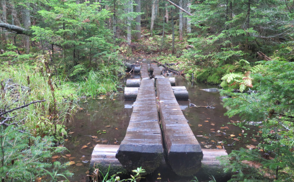
The reports on NE Trail Conditions were spot on regarding Unknown Pond trail. It is a tad muddy up there. The footing is actually good, but there’s a lot of dodging mud puddles. Heck, that pretty much defined the entire route — maybe in July one can do this and emerge with clean shoes. But for now, forget that quaint notion. The grades, however, were very modest overall, with only a final small push nearer the pond. Even that, though, felt modest. You’re not ascending Tripyramid here.
Weather wasn’t trivial, but it wasn’t awful
It was wet and sodden all day. Either it was drizzling, or the occasional wind knocked water out of the trees onto my head. Or passing close vegetation did basically the same thing. The fog seemed to just condense everywhere. And topping it off, there was a bit of a breeze at times. But as long as I kept moving, I was warm enough to be comfortable.
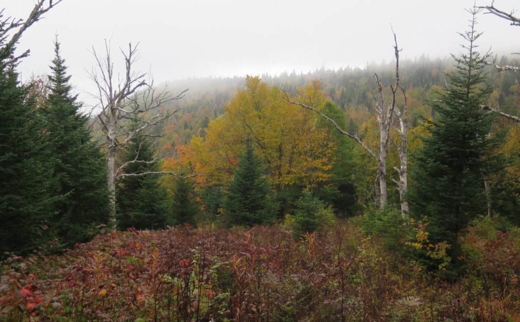
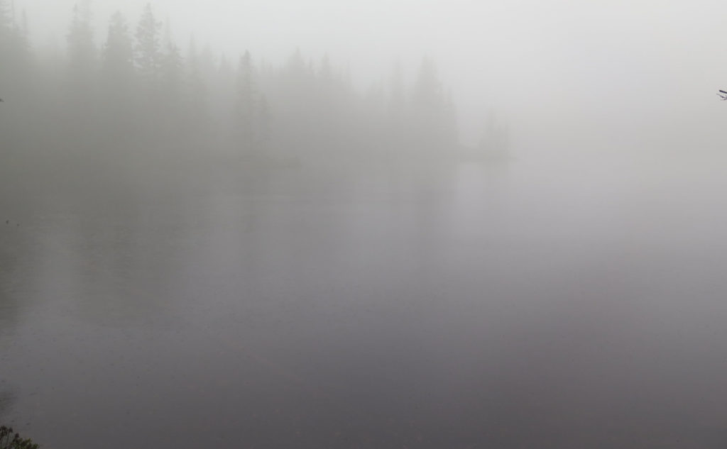
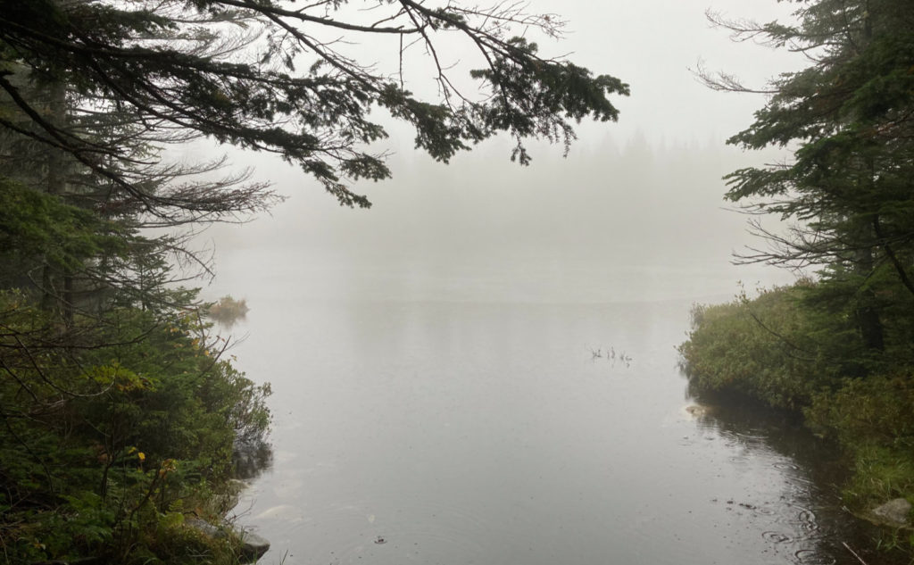
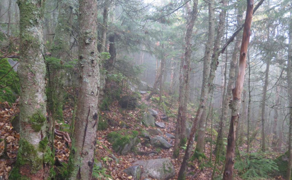
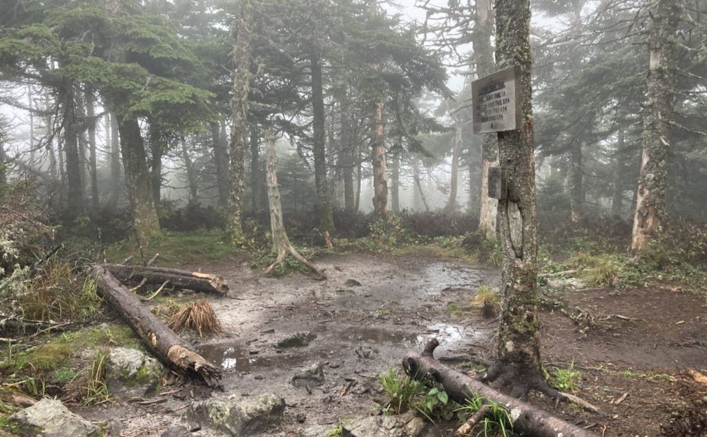
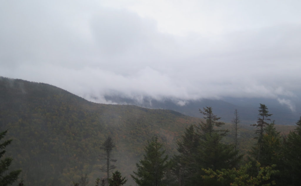
The views, though, were surreal at times. I got to Unknown Pond, and it was more like Unseen Pond, certainly not Golden Pond. Coming downhill to its shore, I honestly couldn’t discern the water from the fog and the reflections of the fog. Weirdest thing I’ve seen. There was the usual other weird stuff that comes out with low clouds as well. Sometimes things looked a little eerie, sometimes hard edges were softened. Browns looked a bit more blah, but greens a bit more verdant. As usual, it’s a mixed bag.
Peeking at the peaks!
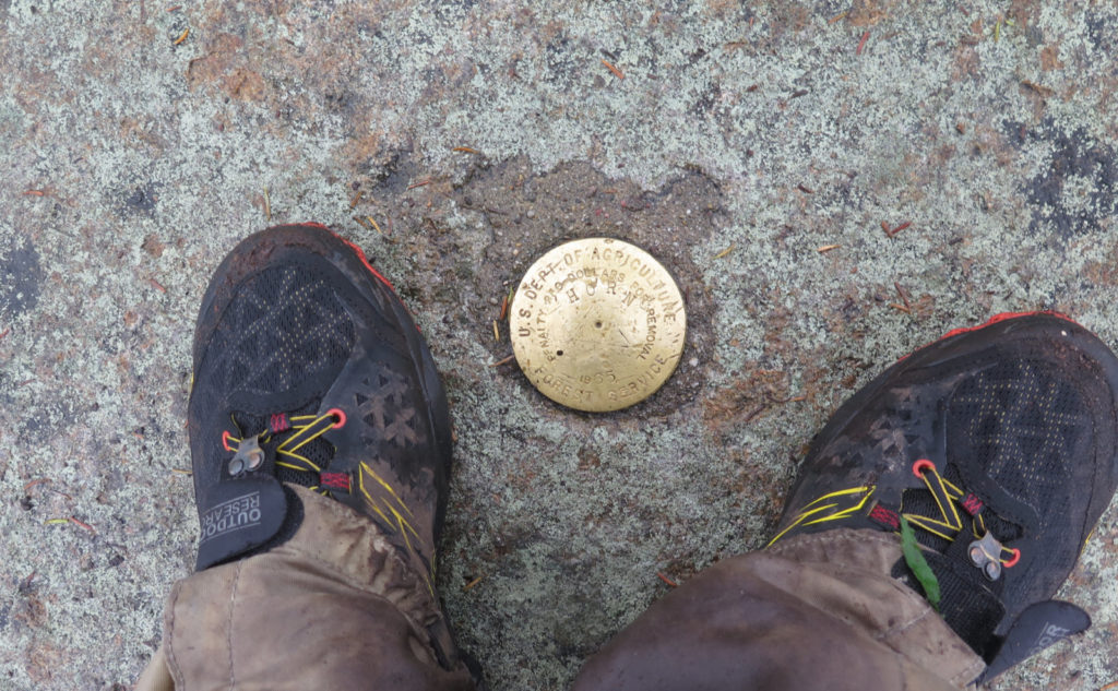
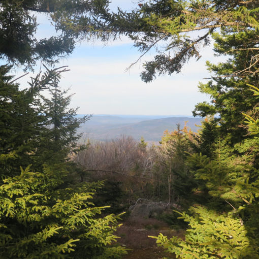
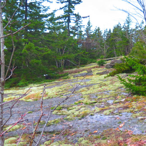
I got to The Horn, and it’s the only one that had a summit marker. Finding the way up the last few feet took a minute, as there was a substantial gap between the two rocks that would have seemed the obvious path. Some looking around, and I realized that success meant staying low and going around to the far side. A bit of scrambling, and I was there. The view was foggy, but on a good day, there will be something to see. I’ll be back again.
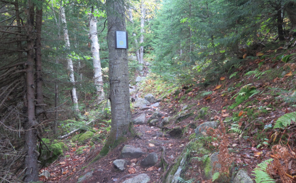
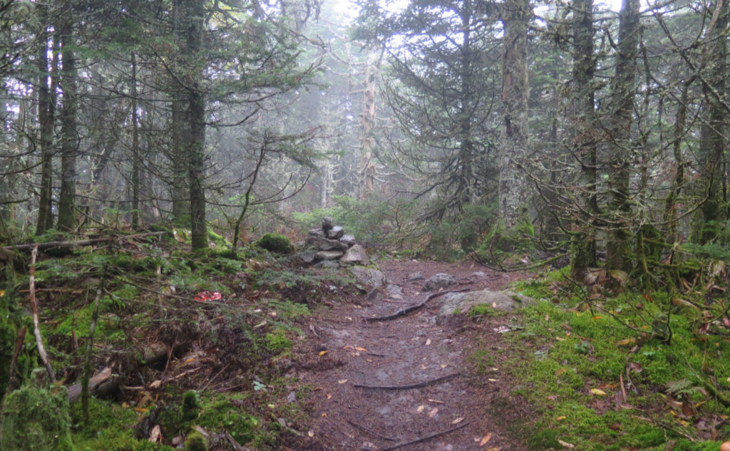
The Bulge on the other hand was a tiny cairn, and not much other than that as a mere waypoint on the trek across to Cabot. Disappointing, but not the first time. Nor the last. Going up Cabot, the climb up those few hundred feet was a bit rough, no shortage of rocks and roots. But then the familiar clearing and the sign. It was a damp victory. I was ready to head down, and I wanted to keep moving as fast as I could. Climbing The Horn, the trail was strewn with rocks. The descent from Cabot would be, too, making it time consuming and mildly treacherous. I didn’t need a repeat of my descent from Adams!
The constant is the arrival of night. The variable is when.
I’m still adjusting my internal clock to the fact that we’re in the period when the sun’s lease on the day shrinks the fastest from one day to the next. That middle bit of the roller coaster: you’ve crested the hill, and you’re nowhere near the bit where it starts to flatten out again. I wanted to get as far down the mountain as possible, and flatten out as much as I could. In daylight, I might have trotted along easily, but with the light dimming, it was less and less possible.
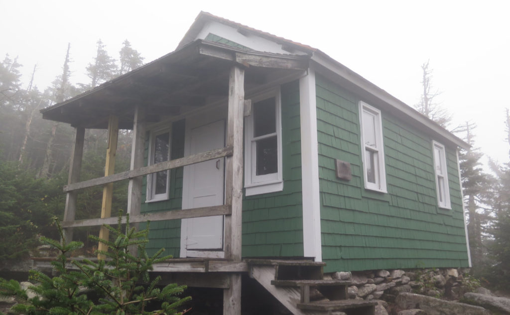
I passed the cabin, still with plenty of light to see the renovations that were made just over a month ago. A fresh coat of forest green paint, with white trim, and inside, the bunks look refreshed, too. I don’t know what they did to the windows, but they look like they got some love. And a new cedar roof on top… that cabin has seen a lot of weather, but right now, it’s looking pretty good, ready for some more visitors.
Rocks and river.
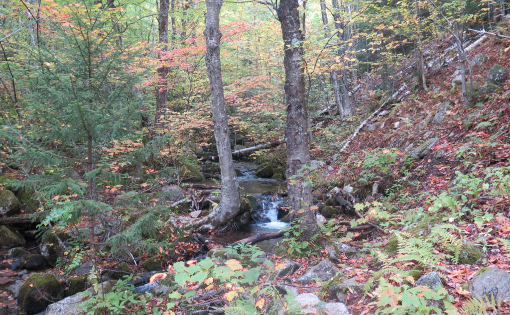
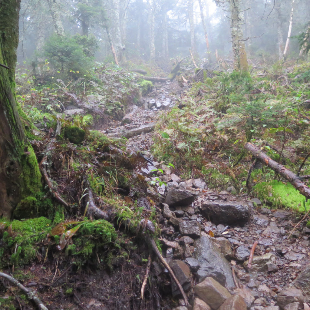
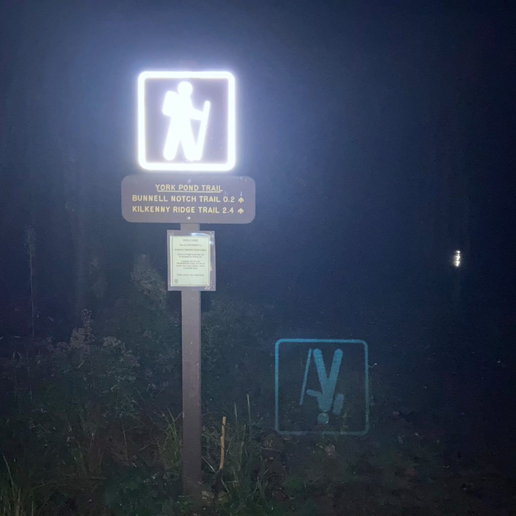
Descending, the darkness moved quickly, and not long after I left the cabin, I was under my headlamp. Looking at my times, I probably moved only slightly slower than usual, but wow, it felt like an eternity. There seemed an endless supply of rocks of all sizes to navigate. I don’t know how many drainages I hopped over. And mud… acres and acres of mud. In a couple places, I was basically walking down a drainage from all the precipitation. But then I was back on the logging road, with the roar of the adjacent stream ever present, almost outright deafening in the otherwise silent night.
The trail flattened, I noticed the vegetation on the sides start to encroach, and then the familiar wooden footbridge. A quick few paces from York Pond parking up the road and I was back at my car. It was a long drive home, but I had the heat on, which was nice.
I made a promise to myself early on to hike regardless of the weather, and sometimes I log miles because of that pact. But occasionally, I get out there, and realize a trail or a summit, or even an outlook is probably worth a return trip. This was one of them. Maybe it was the fog forcing me to look closer in with a more discerning eye, but whatever. I got the feeling this one rewards a sunnier day. So we’ll see next time.
As always, stay safe out there.
Nuts and Bolts: Turn north (if you’re not already doing so) on Route 16 in Gorham, and follow it to Berlin. At the Dunkin’ Donuts, bear left, and stay on Route 110, heading west into Milan. (You’ll be on Jericho Road, and will have passed Jericho Mountain State Park not far outside downtown.) Once settled on that road (it becomes West Milan Road) just stick with it for a few miles. At the sign for the Berlin Fish Hatchery, turn left onto York Pond road. Or have Siri lead you there.
Note: if you miss the left onto Jericho Road, you really ought to just turn around, as there isn’t a really direct way to drive through a neighborhood and get back to where you need to be. There’s no one or two roads forming a decent hypotenuse that’s worth taking, and very quickly, you run out of bridges over the Dead River.
At this point, you’re still several minutes from the trailhead, and a couple miles of dirt road, at least. (The road is seriously long, and you’ll feel like you’ve driven half the way to Timbuktu by the time you actually put boots on the trail.) Once you’re in the main hatchery area (notable for the cluster of odd looking tan structures) look for the trail signs in the hatchery yard. One will point you to York Pond trail, which essentially just keeps you going straight on the road you’re on. It’ll turn to dirt on the other side of the compound. Just prior to the last fish runs you’ll see (you’ve been driving inside the hatchery gate for a few minutes by now) there will be a trailhead sign pointing you to the right.
Go up a very small rise into a parking area. The kiosk is on the other side of the parking area, and the trail itself is just behind that. (For those interested in going down Bunnell Notch trail first, this is a great alternate parking area for the wintertime, if the further parking area is icy. The two trailheads aren’t even five minutes walk from each other.)
Blazes are mostly non-existent, but the trail is very apparent for the most part. At the summit of The Horn, your tendency will be to tackle the large stone head-on. That will only lead to tears. Instead, look to hiker’s left, and you’ll see a trail snaking through the trees, going alongside the rock. Follow that around to the far side, and you’ll find a much easier way to clamber up the rock to its top. The view isn’t bad.
If you enjoy reading these posts, please subscribe — stay in the loop! Your email will only be used to alert you of new posts — typically 1-2 times per week. I will not use or share your email for any other purpose without your express permission. And feel free to share via social media using the buttons below.
Find me in the mountains, on this blog, or on Twitter: @Protean_Hiker
One thought on “Trip Report: What’s the unseen on Mt Cabot?”