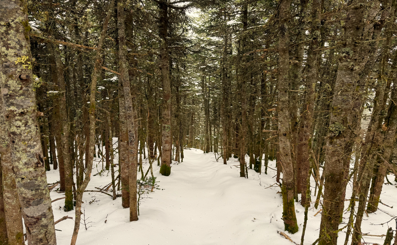
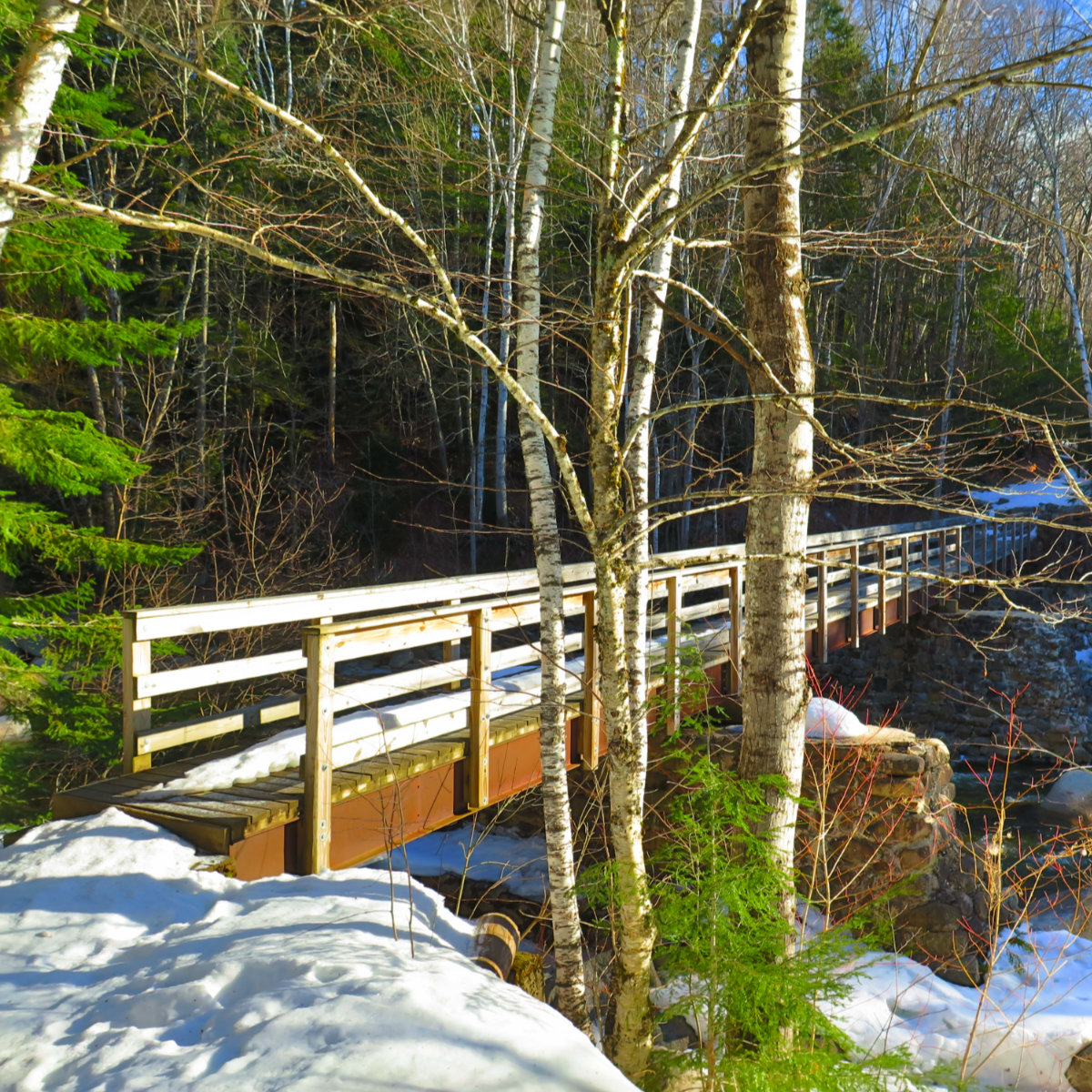
Mount Hale (4,054). Bethlehem, NH. 2024-10-29 (Tuesday.)
Via Hale Brook Trail. 4.5 miles round-trip.
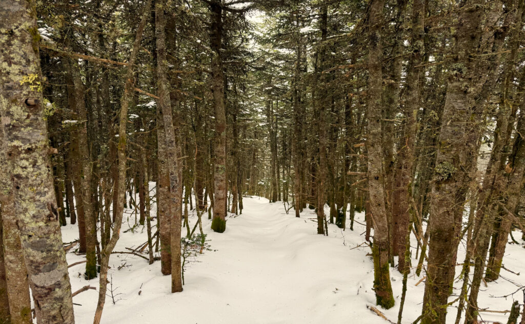
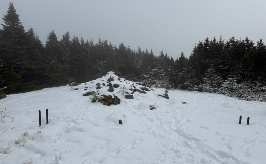
Temps in the low 40s, tight overcast; not much wind to start, but it got breezy from about 3,500 feet or so.
About 75 minutes trailhead to summit, a bit over an hour back down.
Cannon Mountain (4,100 feet). Franconia, NH. 2024-10-29 (Tuesday.)
Via Kinsman Ridge Trail. 4.2 miles round-trip. 2,200 feet elevation gain.
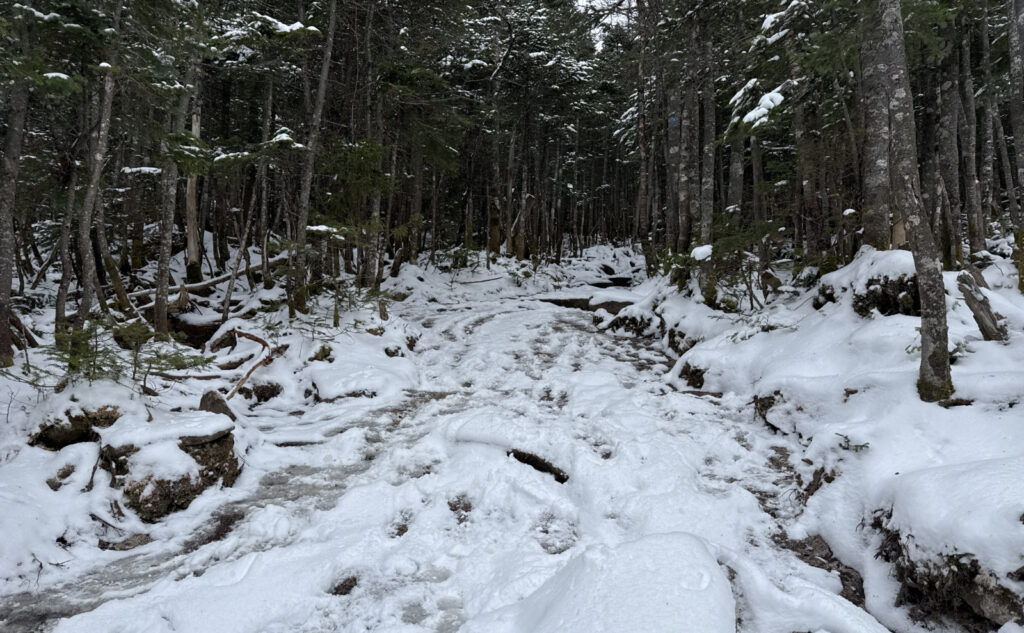
Mid 40s dF. Winds were present in the trees, about 20 knots at the summit, unpleasantly breezy on the exposed ledges (not the outlook) and nasty on the observation tower. Low clouds, dismal visibility.
About 2:15 up, 2:00 down.
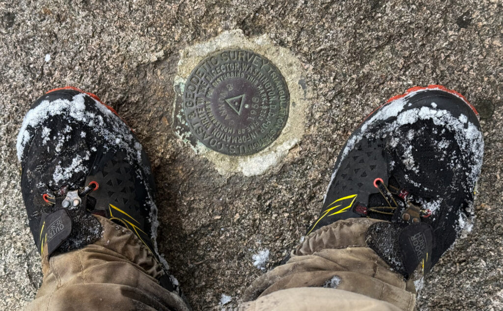
And then there were none; October edition.
This one is a bit difficult to write. I suspect as time goes by, things will clarify. I have so many things to be happy about: a complete round of the 48 in October. Hiking like a bear for the past month, and getting a lot done in that time. Who knows what else, but there are things. And yet, while Hale was a decent outing, Cannon was a suffer-fest, blunting the outing. I’d really prefer that this wasn’t just booking miles.
To clarify: these mountains are set apart from each other by about ten or so miles, as the crow flies. Yes, there was driving in between both summits/trailheads. In effect, tho they were on the same day, they’re two different hikes.
These two hikes feel weird, not the least because of the weather. To my future self, we went from very pleasant autumn weather, to having snow on the ground with beastly wind. And now, as I write this a couple days later, it’s been in the high 60s-low 70s today, meaning I went for a run this afternoon in shorts and a tee, feeling very warm and comfortable under azure skies, drenched in sunshine. Today is Halloween, and usually it’s sweater weather. And so as I write this, all my gripes about the weather on the trail may well be moot. Certainly by the weekend, they’ll be greatly mitigated.
Hearts for Hale
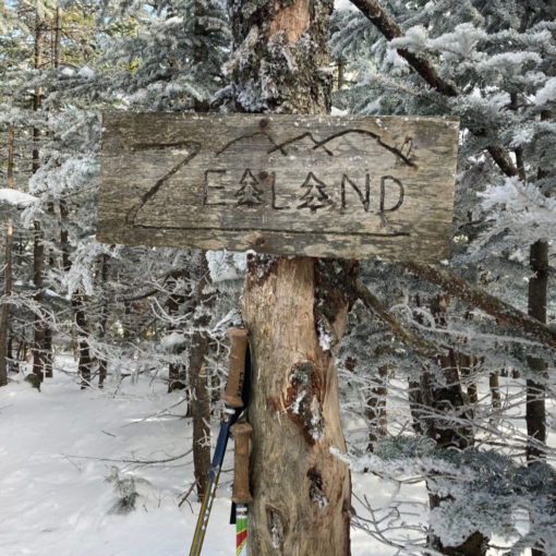
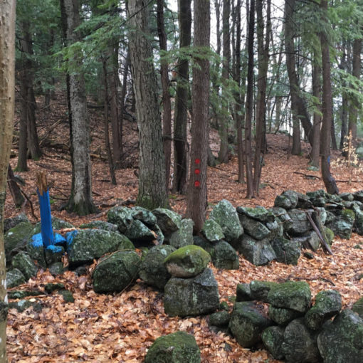
Hale remains a lovely, if short hike. I think the better version includes a loop down Lend-A-Hand trail, out to Zealand Hut, and then back by way of the fire road. A nice 8-ish mile jaunt that might take 5-6 pleasant hours. Hike up Hale, and then walk downhill the remaining 6 hours down easy grades back to the car. On a sunny afternoon, I can lose myself on that hike. Especially when you get to the Lend-A-Hand stretch, where you’re just walking through the embrace of the green tunnel… sublime. The gentle cascades around Zealand Hut invite a nice sit-down on the rocks to listen to the babbling water, as you contemplate anything and nothing all at once. Then you come around the pond, and that causeway through the marsh. Never gets old.
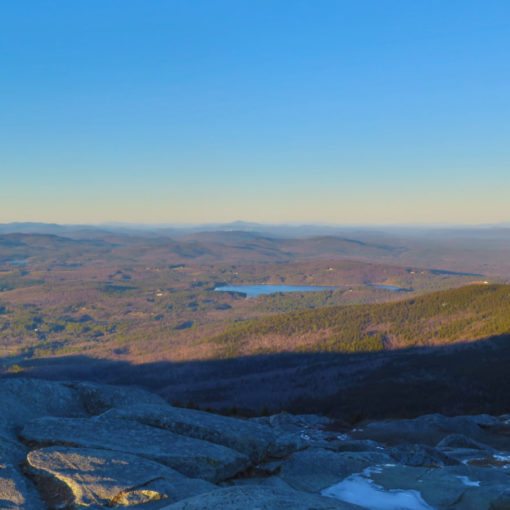
In normal days, hiking up Cannon from the Tramway isn’t awful. I will never discuss it in the same serene terms as I just described a loop around Hale. Hardy? Hell yeah. That trail extracts its pound of flesh from the start, middle, and finish. On a bright day, you get views here and there on the way up. They’re not expansive in the middle bit, for sure, but you do get commanding views over Echo Lake and beyond a bit. A taster for what you get at the outlook higher up, as you get up close and personal with Franconia Ridge. And from the top, views “all around”, excepting that Lafayette gets in the way… but you can for sure see deep into Vermont, and out to points north and south. When that trail is good, it’s hard, but really good.
Cannon is challenging
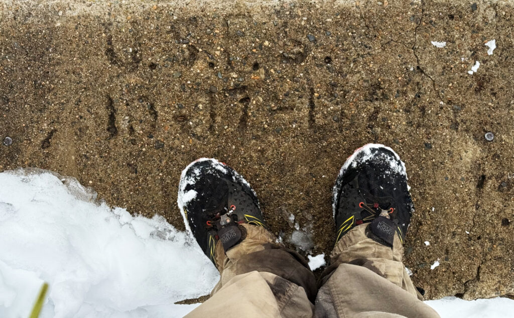
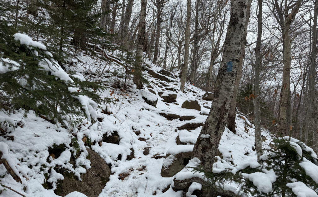
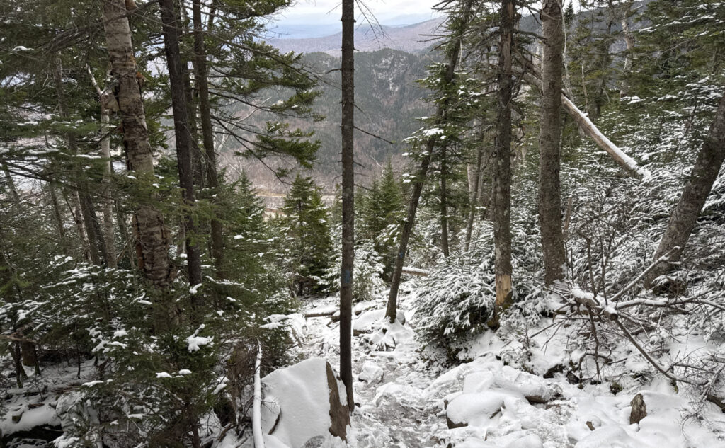
This time around, the trail was not good. The snow did no favors. I tried spikes, but with the warm weather, it took about half a dozen paces before balling underfoot was a problem. Too thin for even glancing at my snowshoes, even if I had brought them. And so I clambered, slip, slid, and cursed my way up the mountain. The geology didn’t help, with all the fallen rocks having landed this way and that. Very little of that trail sits at a natural angle, and so most of my way up and down was spent just negotiating half decent footing, made tougher with snow and ice. Oh wow, the snow and ice. Not deep snow, mind you, just an absolute trickster. A lot of questioning my life’s choices there.
Up on the summit, where things were more normalized, I did spend more time than expected. There was a constant 20 MPH wind, and that wasn’t comfortable at all. But the views of the clouds, as they swept over the shoulders of the mountain, were compelling. One of those moments where you stand in awe watching how weather works… how air is a fluid… vortices, eddies, currents…
So yeah, I hiked two mountains, closing out October for my grid. Next year, I can concentrate on other lists, which I’m looking forward to. Hiking in the autumnal air, doing something relatively mindless on my redline list, or maybe nailing down something else, like the Belknaps or Castle in the Clouds. Who knows? There’s that freedom to choose. On that score, getting #48 is pretty neat. But the day still feels anti-climactic for some reason. I suspect more rumination is needed. Memory is, at times, wonderfully awful. Given enough time, it’ll warp. Those nasty bits going up Cannon will be dimmed. The wonder of the clouds maybe enhanced. Hale was easy going, if short, but still a pleasant return. So who knows. The trail acts in mysterious ways sometimes.
As always, stay safe out there.
Mt Hale!
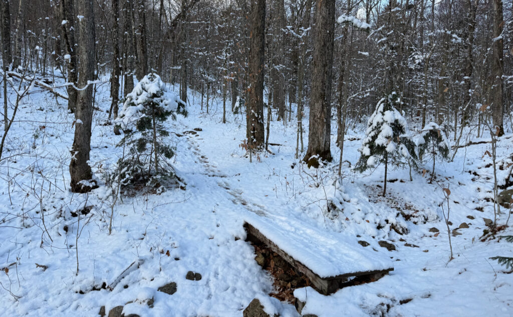
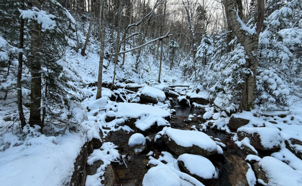
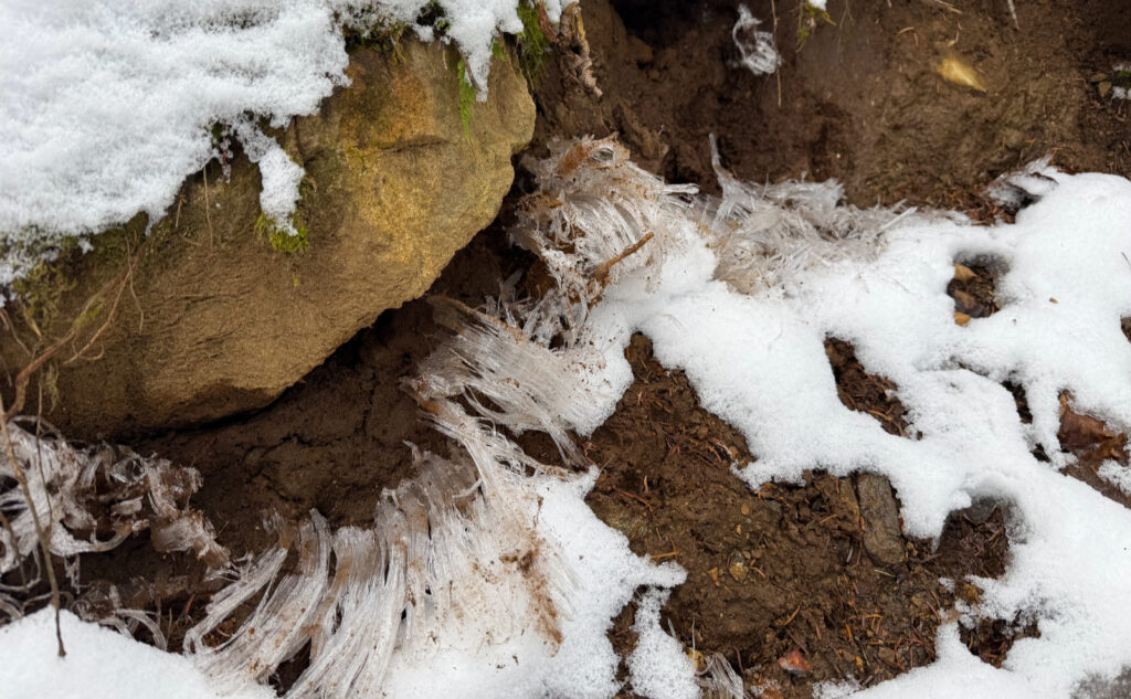
Cannon Mountain!
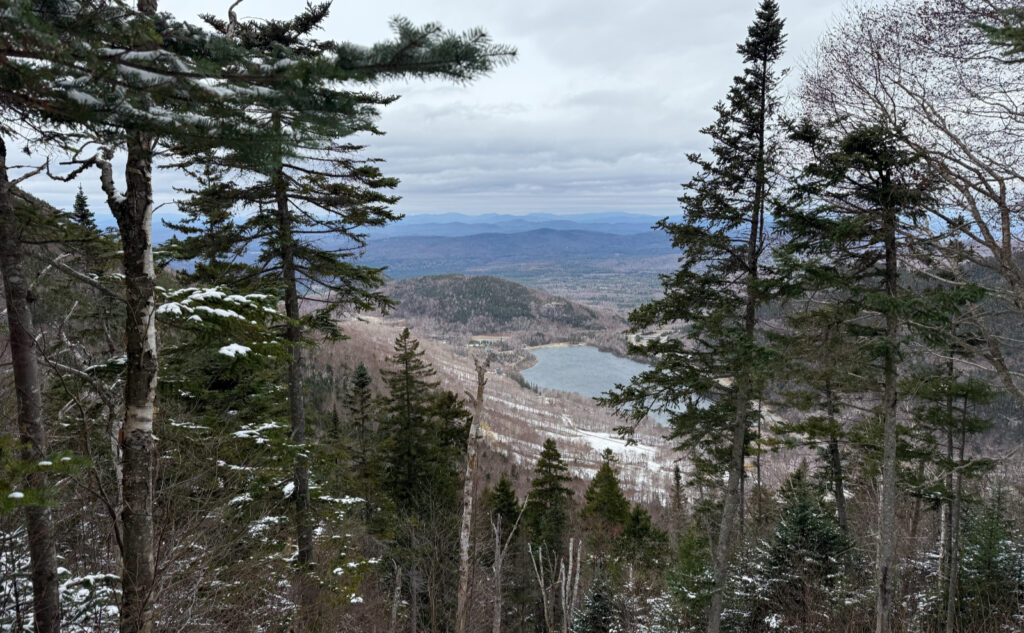
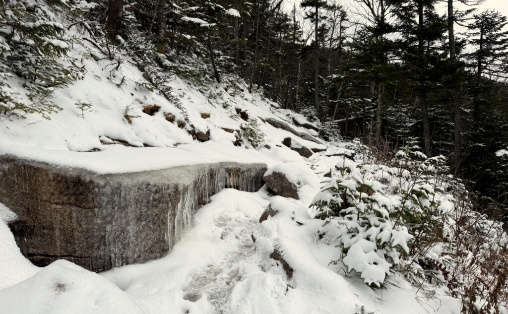
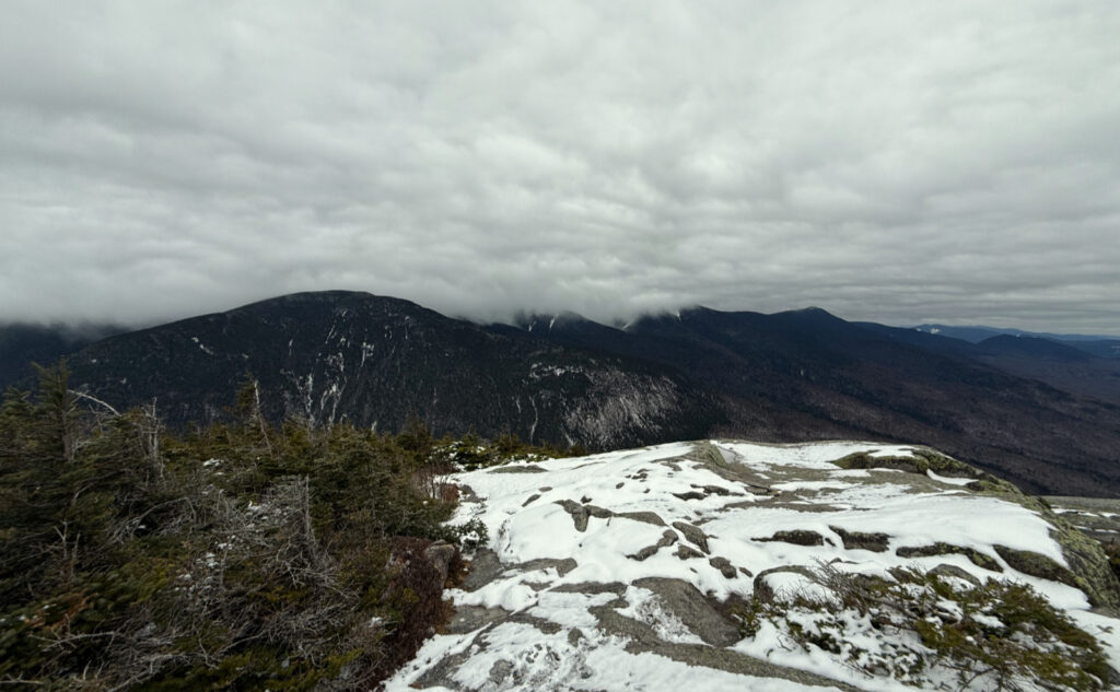
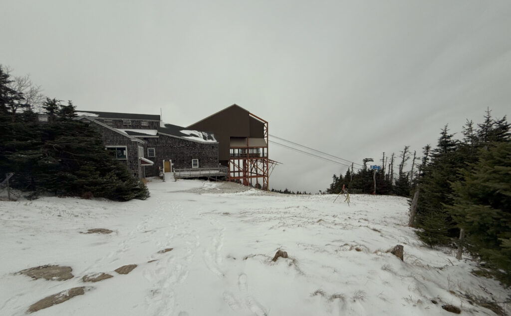
Nuts and Bolts:
Hale: From 93, head into Twin Mountain on Route 3, and then at the lights near Foster’s Crossroads, turn right onto 302. A couple minutes after that, look for the sign showing Zealand campground, and turn onto the fire road. Hale’s trailhead is a couple miles in, and Zealand’s is one mile later, at the end of the road, should you decide to make the loop.
Trailhead will be on the right if you’re heading in. There’s a small parking area. Blazes are yellow and pretty unnecessary: the trail is very apparent, and if all you did was follow your nose, you’d probably not go far wrong, if at all. Lend-a-Hand is likewise. Zealand trail is a former railbed for most of its length. It’s almost impossible to fail to see where the trail is going.
Cannon: 93 North, to exit 34 B — you’re following the signs to the tramway. Once in the parking lot, stay to the left, and at the back side of the parking lot, you’ll see a small white trailhead sign that points you left, up a short dirt road. At the end of that is a much smaller parking area, suitable for most hiker traffic.
The actual trailhead is at the back end of the lot, on the left. No kiosk. Blazes are blue and generally where you’d want one. Don’t worry, it’s mostly a “follow your nose” trail. Just beware at the outlook; you’re going to head down into a small col before you make the final push to the summit. Once on top, the quicker path is to the right, to the top of the tram. Emerge from the trees, go left, and up to the summit building/observation deck. If you go left, it’s a loop, and you’ll get there in a few minutes. I don’t think either is easier. It’s an easy grade with good footing both ways.
Coincidentally, the ski lodge/canteen at the summit is still buttoned up for the season, and at least this day, the tramway was closed. Don’t expect to be anything other than to be on your own when you get to the top. You’ll need to be as self-sufficient on Cannon as you would be on Cabot, Isolation, Owl’s Head, or Bondcliff… except with decent cell reception for much of the way.
If you enjoy reading these posts, please subscribe — stay in the loop! Your email will only be used to alert you of new posts — typically 1-2 times per week. I will not use or share your email for any other purpose without your express permission. And feel free to share via social media using the buttons below.
Find me in the mountains, on this blog, or on YouTube.
Help support this blog! Visit www.photos.proteanwanderer.com to buy some of my signature images.
