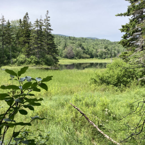
Mt Garfield (4,501 by LIDAR). Franconia/Bethlehem, NH. 2024-11-17 (Sunday.)
Via Garfield Trail, Garfield Ridge Trail. 10 miles round-trip. 3,100 feet elevation gain.
Sun’s up, dazzling day.*
45 dF at the trailhead, 32 dF at the summit. RH ranged from about 50% to 56%. Winds were negligible in the trees, about 10-15 knots at the summit in the exposed areas. (The rocks and the fire tower foundation did a lot to wipe out the wind.) Warm sun and sky throughout.
6 hours. Several happy dogs.
Time to go. Time to let go. Time to…
The weather report has been an evil demon this month. Maybe that’s an inaccuracy. I should probably say the wind on the mountain has not been my friend as of late. We’re in the second half of November, and my grid list cackles with laughter, taunting me. Just three empty check boxes, wanting for attention, and yet, so far, none has come. I’d blame the wind, but that’s like blaming a butterfly in the Sahara for beating its wings too aggressively on some idle Thursday. Does a butterfly even care a whit that it’s Thursday?
You don’t take a dinghy out in a storm. Hiking the northern Presidential mountains in high winds is similarly ill advised. I managed to summit Madison once, albeit very briefly, when the gusts were barely tolerable. Katahdin in early October. The question often asked in these moments is “should I really be here right now?” Do I need to be a news headline?
I gave in to the idea that this November is just going to be windy to the point where Washington might not happen this year. Time to go, and let go; I headed up to Franconia, with the idea that I’d hike Liberty and Flume. Somewhere along the way, my mind changed, seemingly with the wind, and I landed at Garfield’s trailhead. When is it a good idea to question the mountains?
The golden hues of sunlight cast down on a golden day
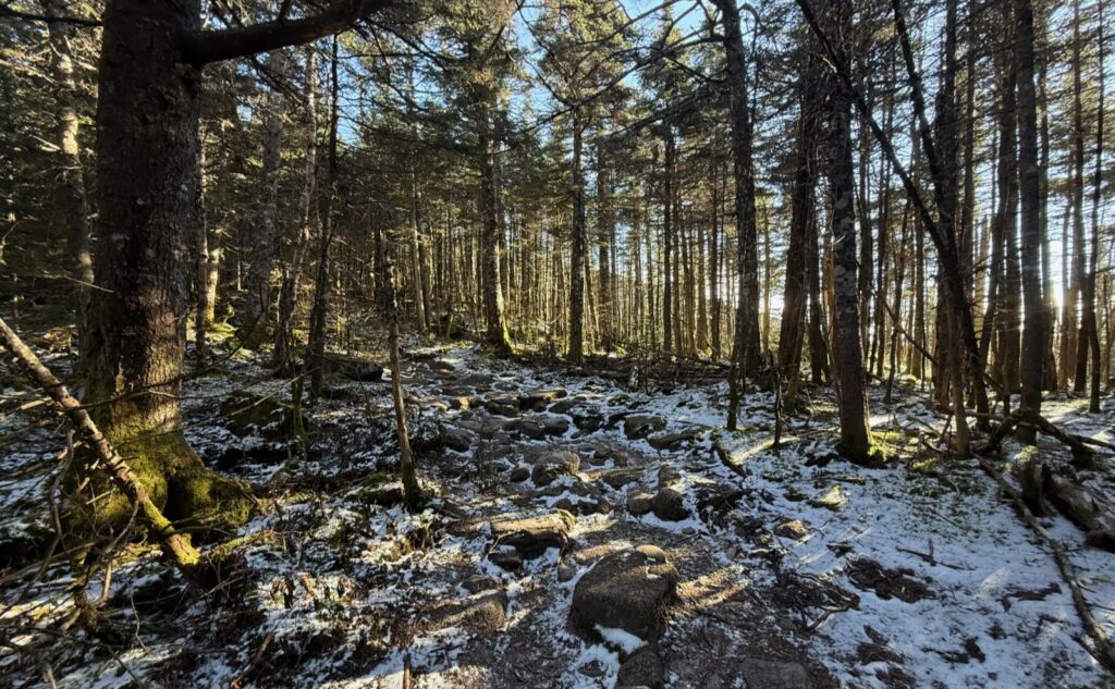
This morning, I found things can go south, with excellent results. The inviting open forest illuminated by golden shafts of light passing between silver shafts of birches. Winds that whipped Washington were weakened by the woods. A light breeze wafted but mostly whispered to the tree tops. The azure sky above with occasional wisps of cloud passing overhead. Calm.
A trail is a scar on the untrammeled landscape. Look to either side, and unbridled growth surrounds the landscape. A rolling stone gathers no moss, and there they are, softening the hard edges in their silent repose, scattered all across the miles as the glaciers receded. We tolerate the necessary evil, in the same way we countenance the incision of the surgeon with the ethos of “do no harm.” Breaking a few eggs, so to speak, in order to achieve the greater good. We limit the damage of countless boots, confining them to the narrow path. The strange conceit that we can’t move mountains? Look upon the Pemigewasset and ask which part wasn’t touched by JE Henry.
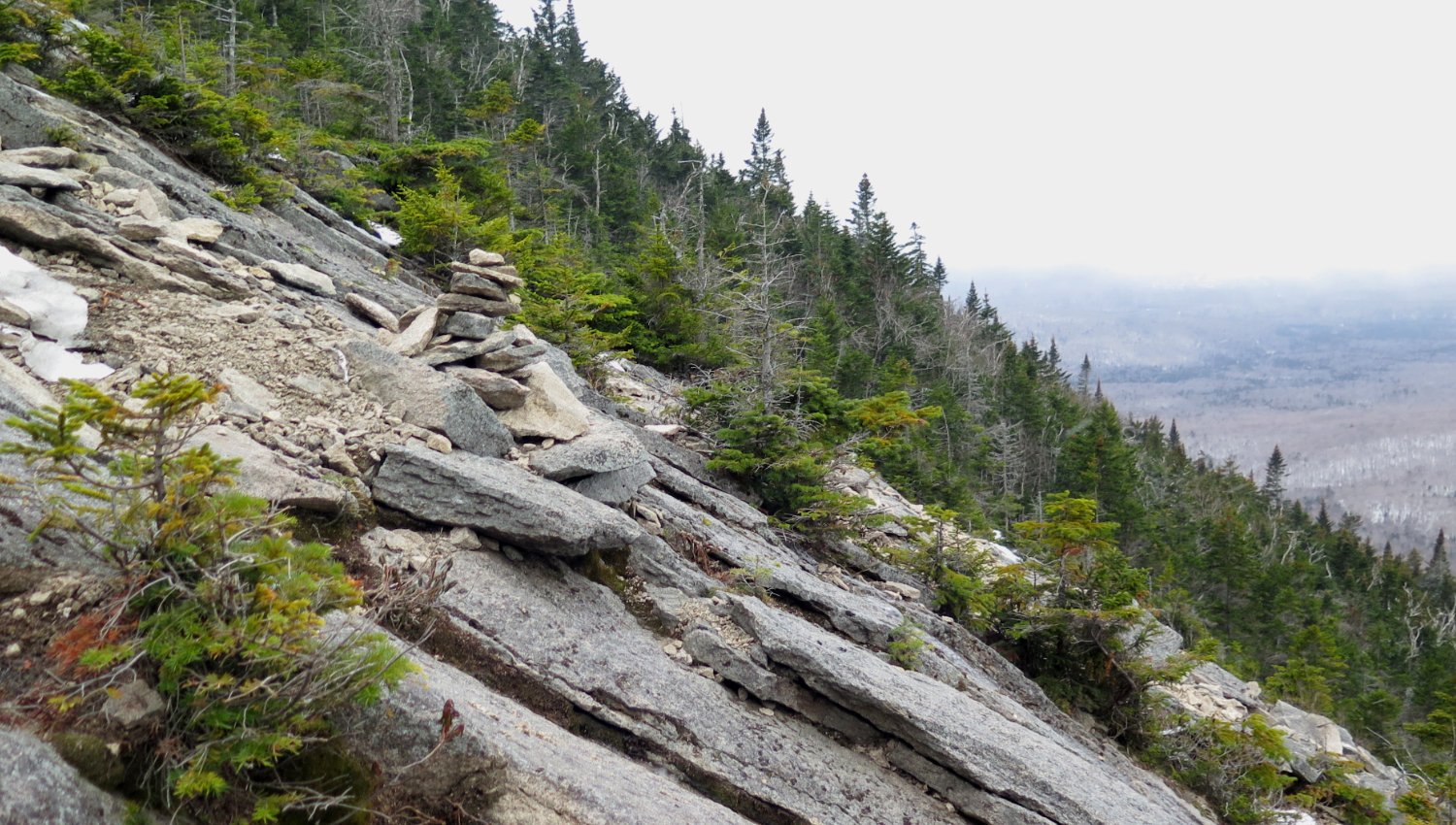
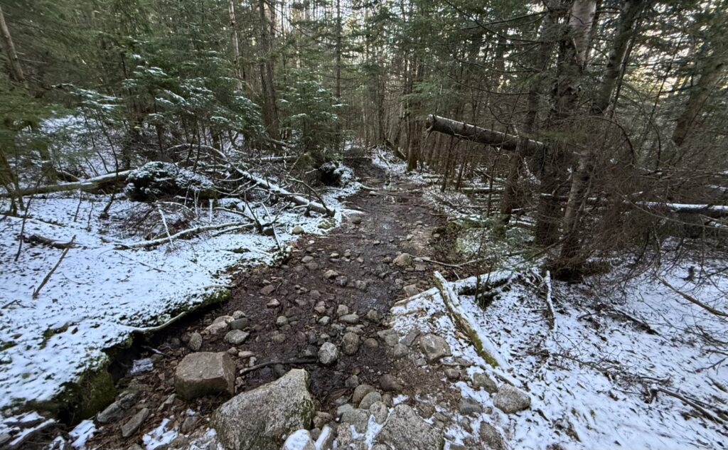
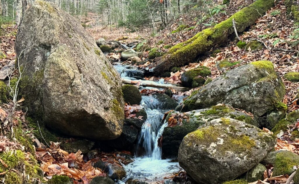
Onward, upward. At times rocky, rooty, muddy, icy, slick. Sometimes quick passage, sometimes slow. Never arduous, but serene. The remote trailhead set me at a remove from the bustling traffic only a few miles away. Pax cum natura.
As I continued toward the summit, passage wasn’t along that trail or that scar, even though it was. I moved sublimely amongst the trees. Comfortable. At ease. The azure sky became more pronounced above, puncturing the treetops. The golden light had more clarity. My view expanded. Anticipation mounted.
Sublimation, supplication, spiritual betrayal
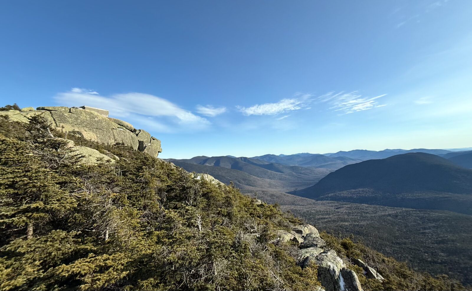
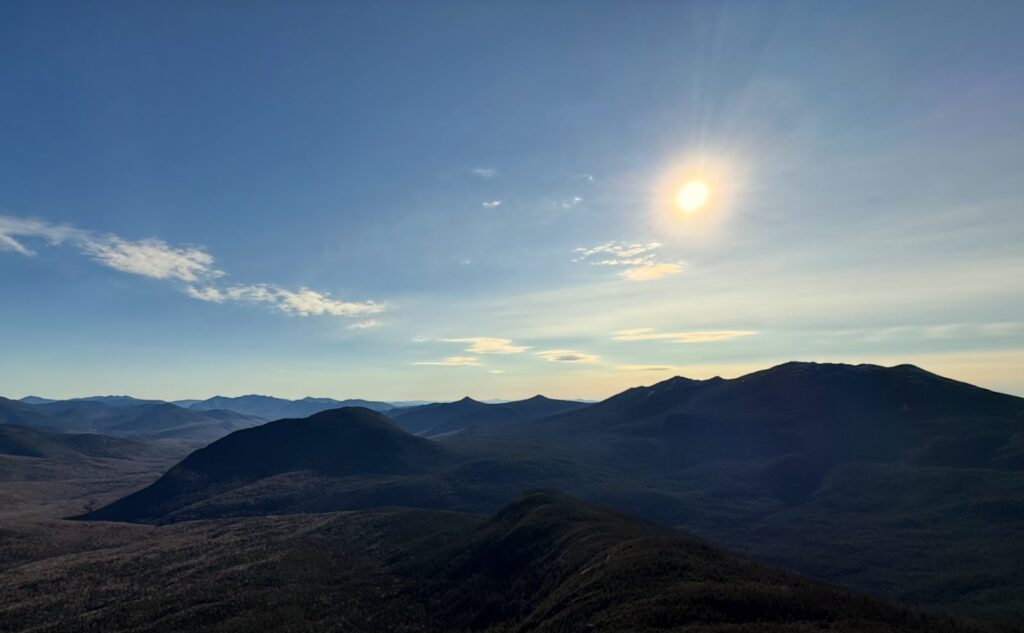
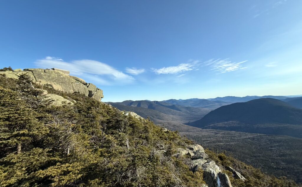
There is a resoluteness of being when you stand upon high and look at the valley below. The slopes and curves of the landscape. Majesty. Intensity. Humility. Places where you walked just recently come into focus in a way that they didn’t when you were so much closer. I thought about the fire tower, and the people that stood watch over the Pemigewasset all those years ago. The people who took that wide truck road up the mountain that today is the hiking trail, no motorized vehicles allowed. What did they see, as they looked outward day after day? What did they think? How did their mundane collide with the sublime? The valley below… the stars above…
I thought about the glaciers, the forest fires, the railways, the rivers and streams. The tiny moments, stretched out in time, that made the view that I stood above. The way the sun fell across the landscape. I marveled at the curve of the earth view… looking out as far as one could. Humbled. Inspired. Refreshed. Several times, I told myself daylight was waning, and it was time to go. Several times, I turned back around for yet another look at the scenery. My soul was parched. The view was the most exquisite oasis, and its water was cool and refreshing. But the incoming tide of night imposed its will. The hardest part of ascending a mountain isn’t the climb up. It’s when you turn your back, looking toward the trailhead from whence you came, and the inevitable points beyond. A spiritual betrayal.
Reality will always dictate terms, yet the knife cuts many ways. You need to return home. Work must be done, bills must be paid. After ecstasy, the laundry. At any oasis, one can drink one’s fill before heading back out, but before long, you need to slake your thirst yet again… your bota can only hold so much wine.
As always, stay safe out there.
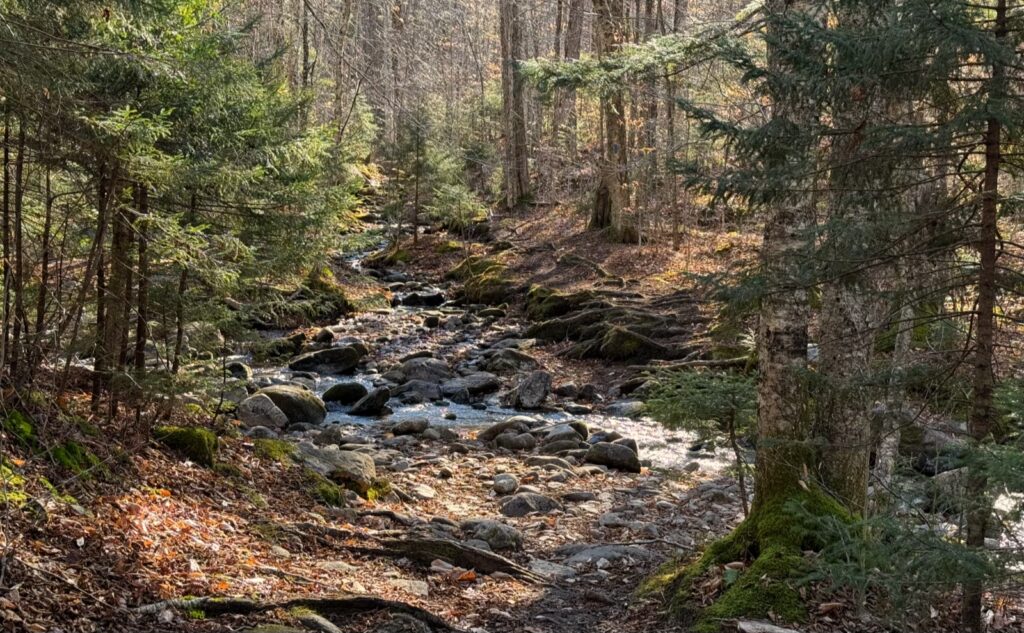
.Nuts and Bolts: Trailhead is on Route 3, just before the Gale River bridge. Take the Twin Mountain exit after Franconia Notch. Follow about 5-6 miles and you’re there. If you get to Trudeau Road, you’ve gone past it… but the trailhead is on Gale River Loop Road (which technically is the fire road) so you can take a right hand turn, and follow that around clockwise to the Garfield trailhead, passing the Galehead Trailhead about a mile and a half beforehand. (The intrepid can make a loop hike of the two peaks, but be advised, the hike up/down the waterfall near Garfield Shelter is pretty wicked.)
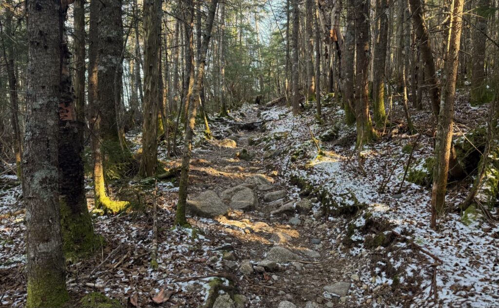
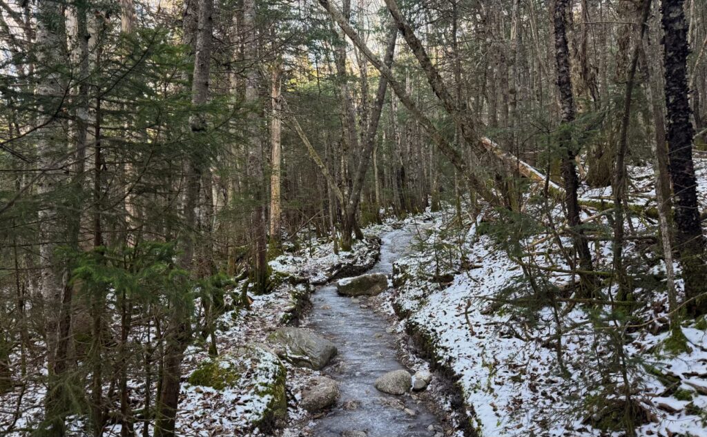
Trailhead will be adjacent to the parking area. Blazes are blue: the trail branches off the AT, so it’s actually blazed quite well. Up on the ridge, blazes will be white, in line with the standard AT blazes. Right now, the trail is quite obvious. Note around the 3,500 foot mark, things get icy on the trail proper. Spikes wouldn’t hurt, though I bare booted this hike with only modest grief. Weather forecast for the second half of the week can change things, so beware.
At the time of this writing, the Forest Service hasn’t closed the gates. That can change without warning, so plan accordingly.
If you enjoy reading these posts, please subscribe — stay in the loop! Your email will only be used to alert you of new posts — typically 1-2 times per week. I will not use or share your email for any other purpose without your express permission. And feel free to share via social media using the buttons below.
Find me in the mountains, on this blog, or on YouTube: https://www.youtube.com/@proteanwanderer
Help support this blog! Visit www.photos.proteanwanderer.com to buy some of my signature images.
*h/t to Robert Fripp and King Crimson.
