Mt Monroe (5384 feet USGS; 5,369 LIDAR). Crawford’s Purchase, NH. 2024-12-15 (Sunday.)
Via the Ammonoosuc Ravine trail and the Mt Monroe Loop trail.. Approx 7 miles roundtrip.
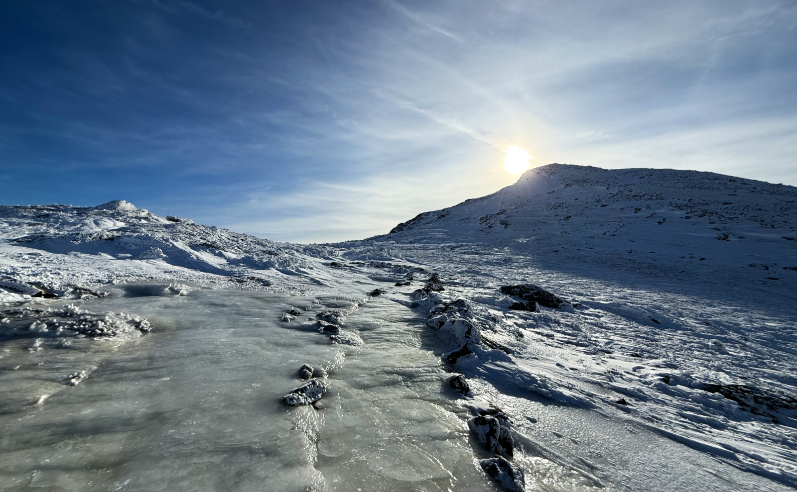
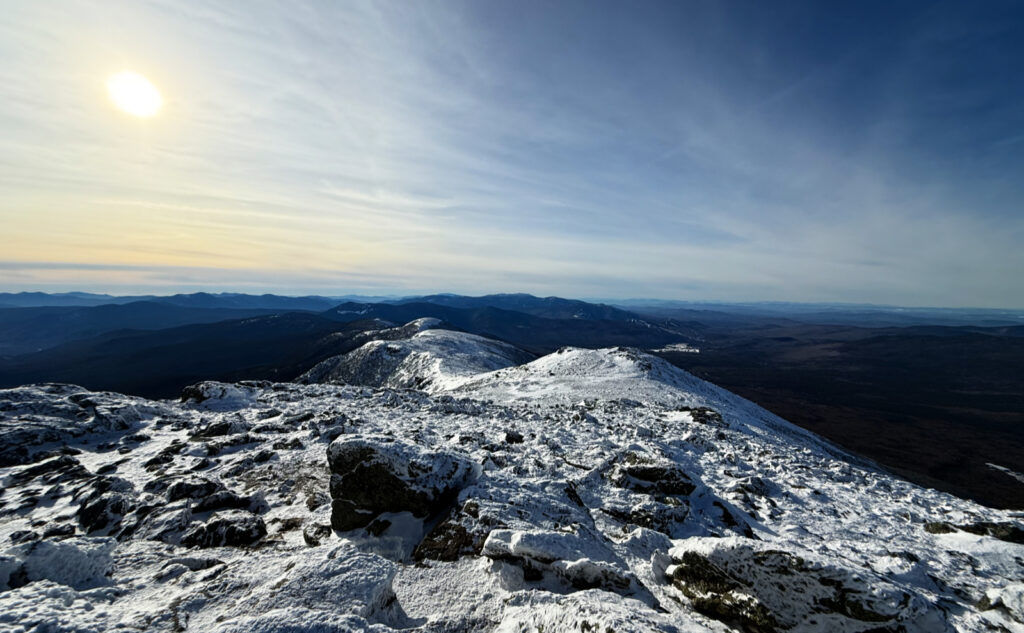
Temps from trailhead to summit were in the low 20s. RH ranged from about 40% to 80%. Winds were all of a light breeze — force 2 by the Beaufort scale. A bluebird day: gauzy (perhaps dreamy) high altitude haze that didn’t do much to the otherwise unbridled sunshine.
Trailhead: 1045. Lakes of the Clouds: 1300. Monroe summit: 1320. Car: 1530.
If you have to ask, you’ll never know.
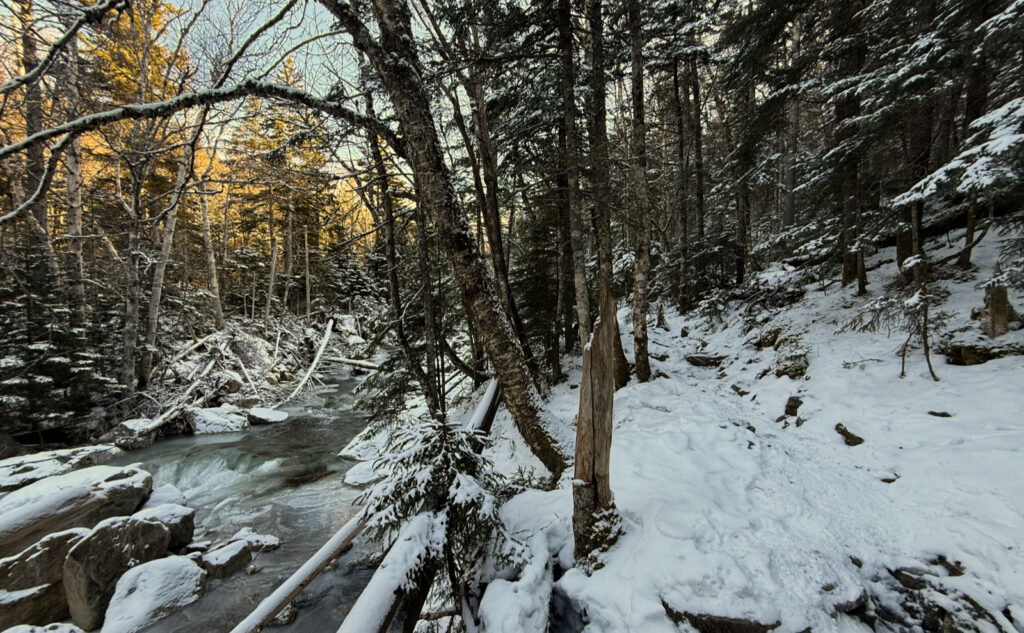
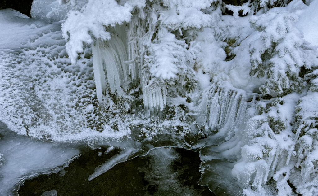
There’s a clarity to hiking in the snow and ice that can’t be achieved otherwise. The world realigns itself into extremes. A starkness where the light either does, or it does not. Tree branches bending boughs beckoning, bearing ice and snow along their length. The branch is darkness, yet life holding a pristine white blanket of cold, lifeless water. Bright sun penetrates the canopy of this day’s autumnal forest, piercing rays making brilliant what would otherwise be dark.
Last night, I looked at the higher summits forecast and saw a dream. Clear skies, a windless summit, and endless possibility. Driving through Franconia Notch, seeing Eagle Cliff rising like a wall before me, held rapt within this liminal space. Snow, rock, forest, river. Approaching the Cog’s lower terminus, the home of the Great Spirit high above, Agiocochook thrusting upward into the heavens.
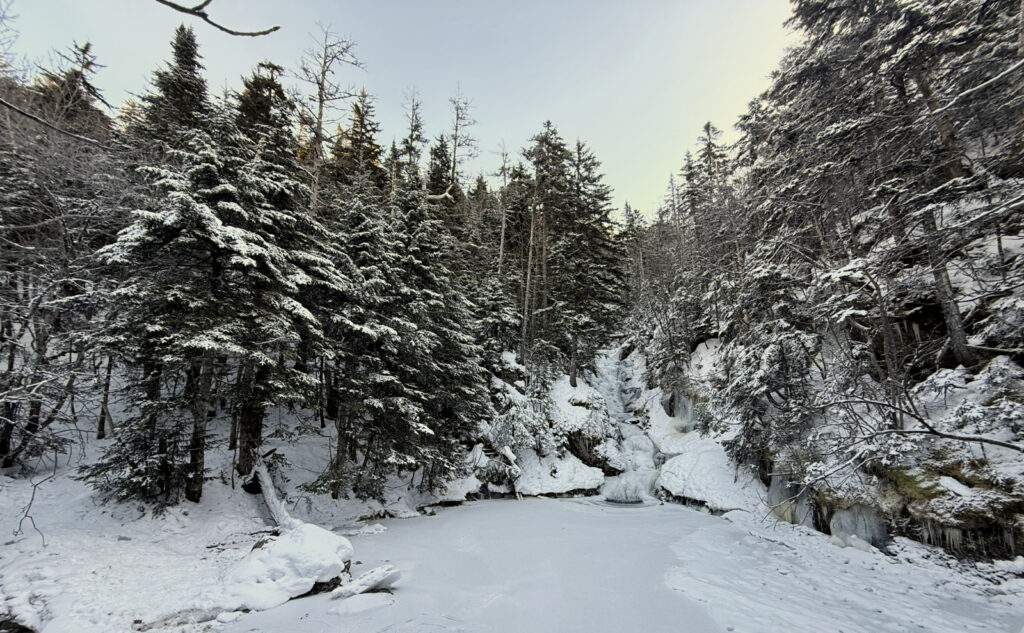
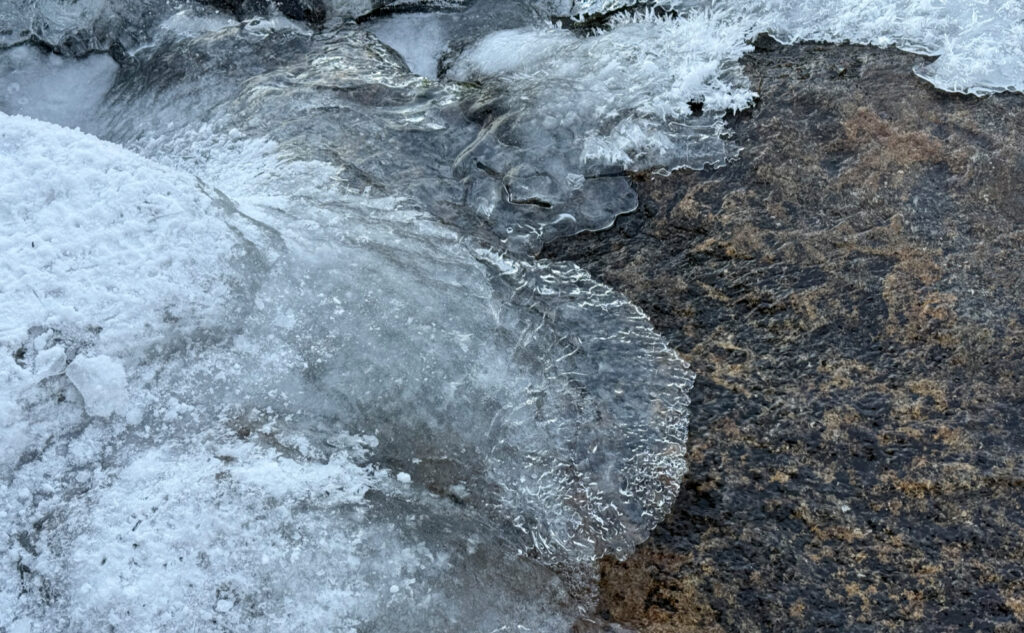
From the trailhead I set forth. The path led onward, upward, spirit soaring into space. Deft brushstrokes of sky between the trees, painted by an unseen hand. Underfoot, crisp snow crunching. Brilliant white, the trail beckoned me on, as unsullied as this page before me. My footsteps writing the evolving story of the day. Crossing the footbridge, then the ice at Gem Pool, altitude increased, attitude was calm.
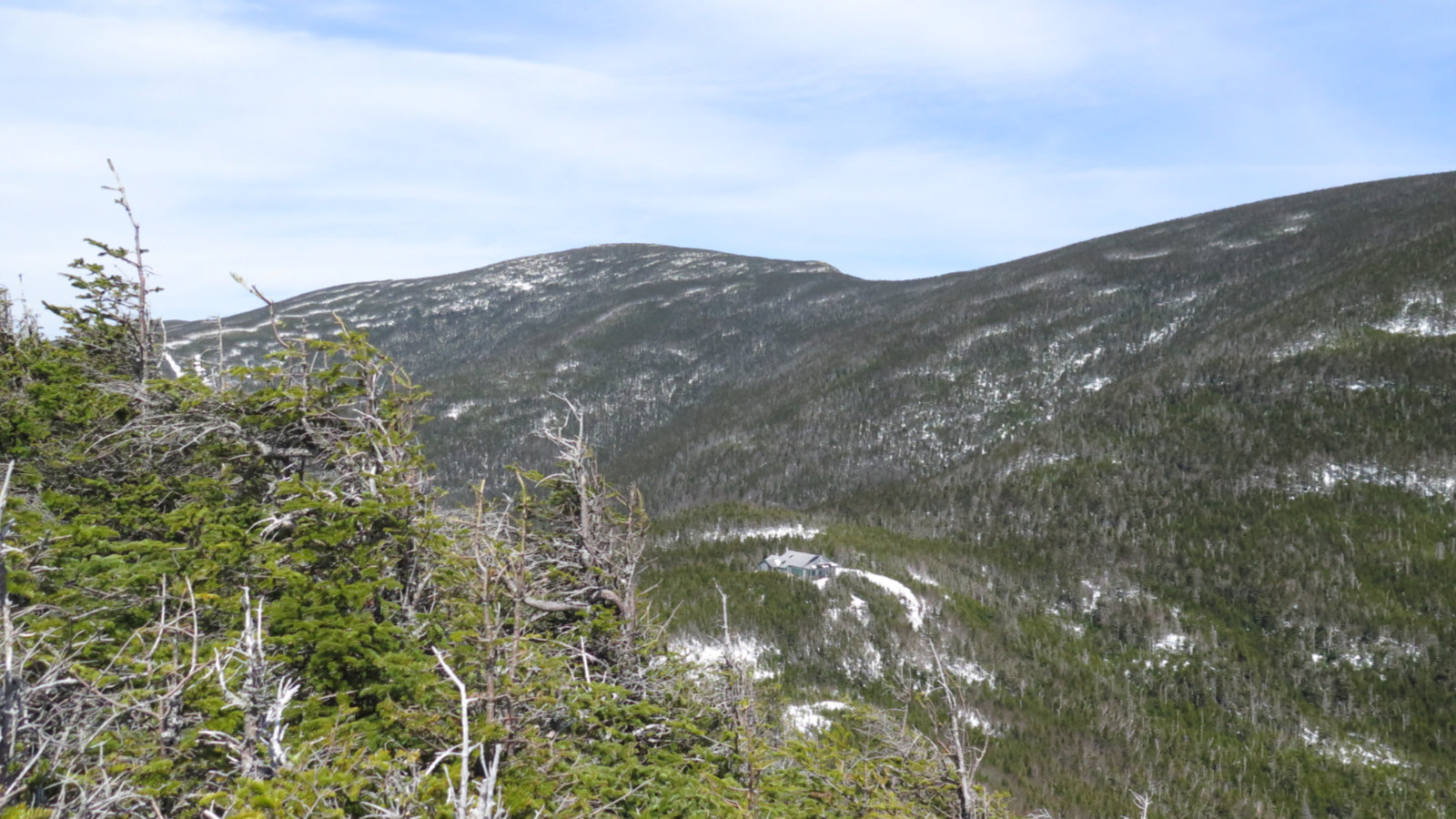
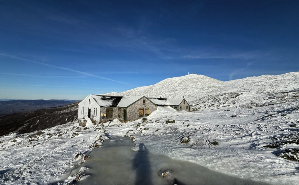
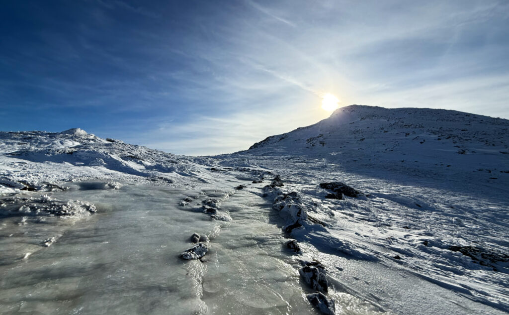
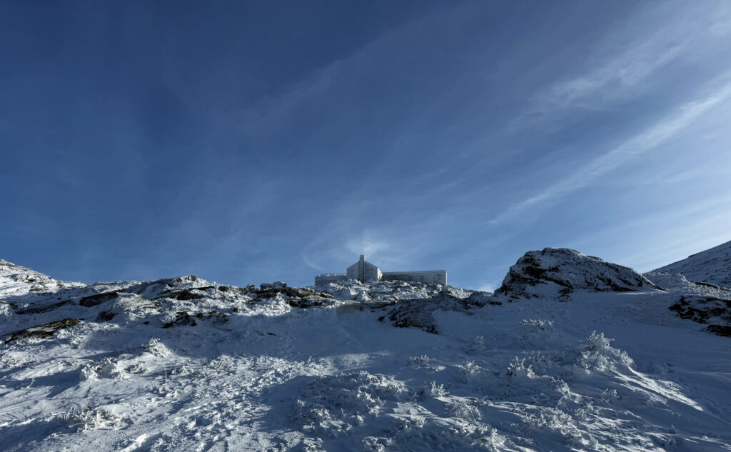
At the Lakes of the Clouds, I turned to the south, and against the sun, the silhouette of Monroe rested, mere moments waiting for I to span the icy gap. In black and white haiku, the stones marking the trail stretched away forward toward the summit. Rime wrapping rocks, reflecting the starkness of the sun standing sentinel. Ripples in a gossamer web stretched across the sky, chronicling the passage of the wind in the highest reaches. I sallied forth, and minutes on mile, strides on snow, crunched upward, each step a noisy manifestation of effort.
The rocky false summit the last gatekeeper I passed, ever pressing onward. Easy distance now, views over shoulder, but my goal pulled me to finality: the remaining rise fell beneath determination. I stood upon high and gazed downward. Turned and gazed upward. Looked around, stretched my view tens of miles away into Vermont, Maine, and Canada. The air was cold, crisp, reassuring. The spectacle under that azure sky breathtaking. Grey and purple waves of mountains layer upon layer across the southern distance. The sun, warm upon my face, the light breeze invigorating, the sweat honest. Serenity.
As always, stay safe out there.
Nuts and Bolts: From Franconia Notch, continue up 93, and follow Route 3 up into Twin Mountain. At the 4-way with 302, take a right — follow any sign that directs you to the Cog Railway. You’ll pass Fabyan Station on the left, and shortly after is the left turn onto Base Station Road. One of the old cog rail locos is on display at the turn. Follow that for a few miles. You’ll have a decision to make: park for “cheap” at the Ammonoosuc trailhead (USFS fee/sticker required) and hike an extra 3/4 of a mile (each way) or so. Or carry on up the hill a bit more and park at the Cog’s base station, where parking is a tenner per person.
If you’re short on time, the second option has the benefit of cutting perhaps an hour or so from your trip. If you’re coming with a van full of people, remember that it’s a sawbuck *per person.* Your USFS sticker carries no weight on Cog Railway property. Unlike past trips where I’ve had to go inside and conduct business with a human, now they have an iron ranger located at a specially designated hiker parking lot. They threaten towing for non-compliance, and it’s a six mile walk back to the main drag, so keep all that in mind when you plan your trip.
Blazes are blue for all the time you’re heading up to Lakes of the Clouds. After that, you’re on the AT, and blazes are white. From the hut to the summit, the route is pretty obvious: head uphill to the summit of that big thing that’s immediately to the south.
If you enjoy reading these posts, please subscribe — stay in the loop! Your email will only be used to alert you of new posts — typically 1-2 times per week. I will not use or share your email for any other purpose without your express permission. And feel free to share via social media using the buttons below.
Find me in the mountains, on this blog, or on YouTube: https://www.youtube.com/@proteanwanderer
Help support this blog! Visit www.photos.proteanwanderer.com to buy some of my signature images.
https://bsky.app/profile/proteanwanderer.bsky.social for all the cool kids out there.
