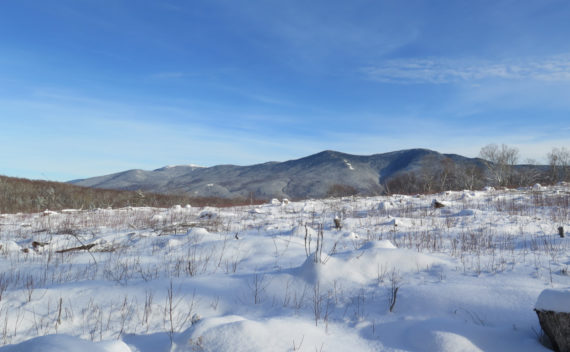
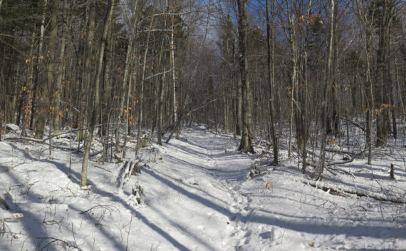
Where to start? A 3 mile hike, on easy grades along logging roads. Great views of the Franconias. Sign me up!
Redlining
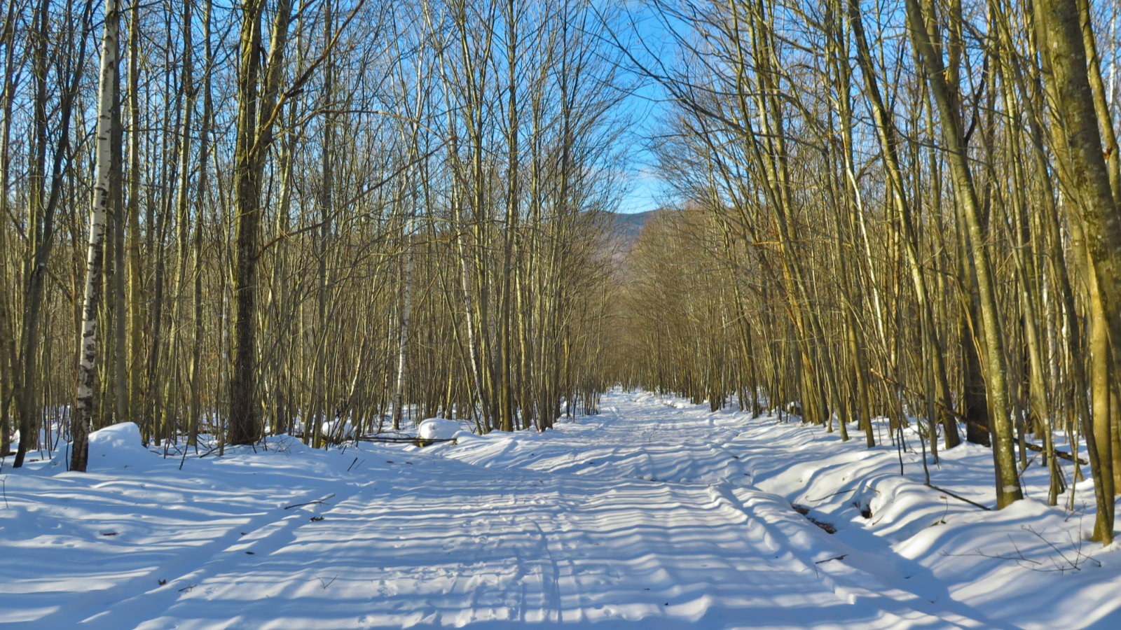
There was a pervasive Thursday morning calm to the trail. It would have been a quicker outing if the snow had behaved, but there it is.
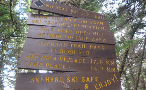
Wildcat Mountain D & A (4,062 and 4,422 feet, respectively). Jackson, NH. 2020-10-14 (Wednesday). Via Wildcat Valley X-C Ski Trail, Wildcat Ridge Trail, 19 Mile Brook Trail, Wildcat River Trail, Bog Brook Trail.. Approximately 12 miles round-trip. (NB: The 12 mile number is from Gaia GPS, and I’m fairly certain that it draws mileage from a 2-D model, not taking elevation into account. This is especially significant where Wildcat A […]
Most people hike Mt Isolation from the east, crossing Rocky Branch half a dozen times. But what about the west side, by the Dry River Trail?
Hiking up Adams can be straightforward, if you want it to be. But adding some complications can create a more sophisticated route. A more straightforward trail might not have as much to discover.
Mt Washington (6,288 feet), Mt Clay (5,533 feet), Mt Jefferson (5,716 feet). Coos County, NH. 2020-09-03 (Thursday.) Via Jewell, Gulfside, Westside, Trinity Heights Connector, Jefferson Loop, Clay Loop, Jewell Link. Approx 14-16 miles round-trip. Temps ranged in the low to high 50s, and into the low 60s throughout the day, and depending on mountain. Winds were negligible, about 2-3 knots at the Mount Washington Observatory. Sunny with clouds in the […]
No photo of Nancy Cascades will ever do it justice. So you just have to go out there and see for yourself!
Short and sweet, but wow, what a view! Stinson Mountain, Rumney, NH. 2018-12-10 (Monday) Via Stinson Mountain Trail, including the snow machine loop. 25 dF at the trailhead, 18 dF at the summit. Mostly sunny. Light wind, approx 5-10 MPH. 55% RH, 4 dF dew point. 26.68 mm Hg. Trailhead: 1115; Summit: 1230; back at car: 1330. In terms of efficiency, I have no rational defense: I drove much more […]
