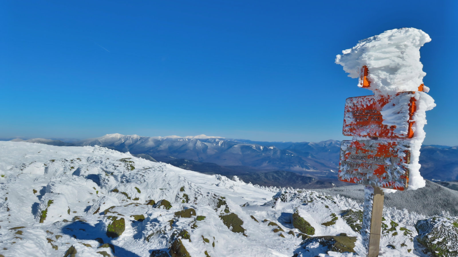
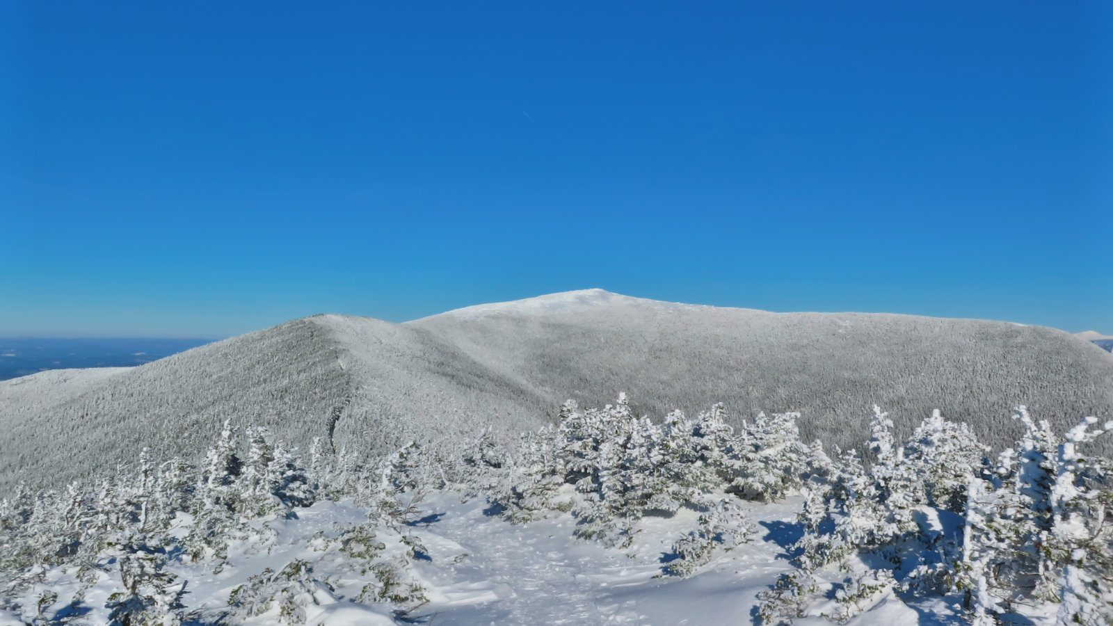
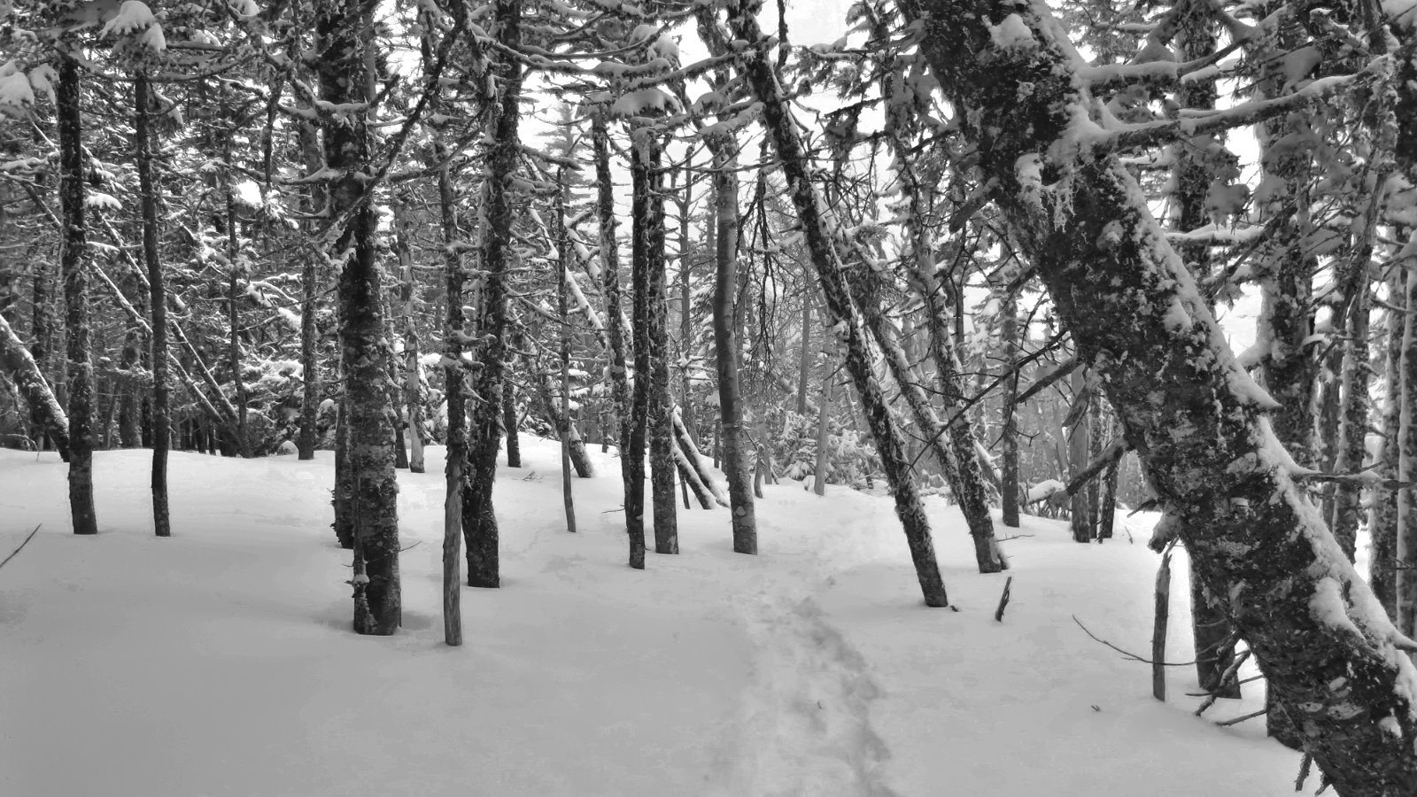
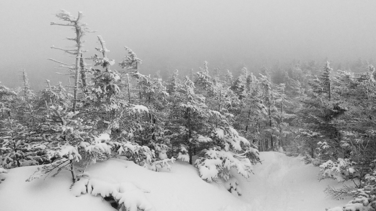
It was cold, it was windy, it was beautiful. In short, I wouldn’t have given it up for the world.
The 48
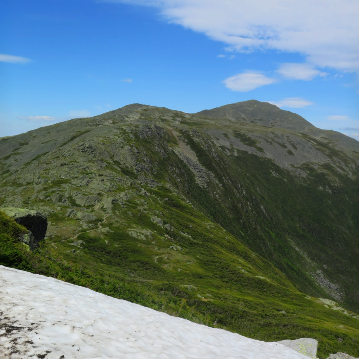
Mt Moosilauke. Benton, NH. 2019-01-17 (Thursday.) Via Glencliff Trail, Approx 8 miles, including South Peak. 1 dF +/- at the trailhead, 5 dF at summit, with negligible winds in the trees, approx 25 MPH wind at the summit. Unbridled sunshine throughout the day. Trailhead: 1000; Moosilauke Summit: 1300; South Summit: 1330; back at car: 1500. (Approx. 5 hours.) I’ll probably have more to write shortly, but the day was amazing […]
Mt Tom, Mt Field, Mt Willey, Mt Avalon. 2019-01-03 (Thursday.) Four mountains means an embarrassment of riches where film footage is concerned. Despite the clouds, there was so much to see, and so much visually striking landscape. Enjoy! If you enjoy reading these posts, consider subscribing, so you can stay informed. There’s no cost to do so. Your email will only be used to alert you of new posts — […]
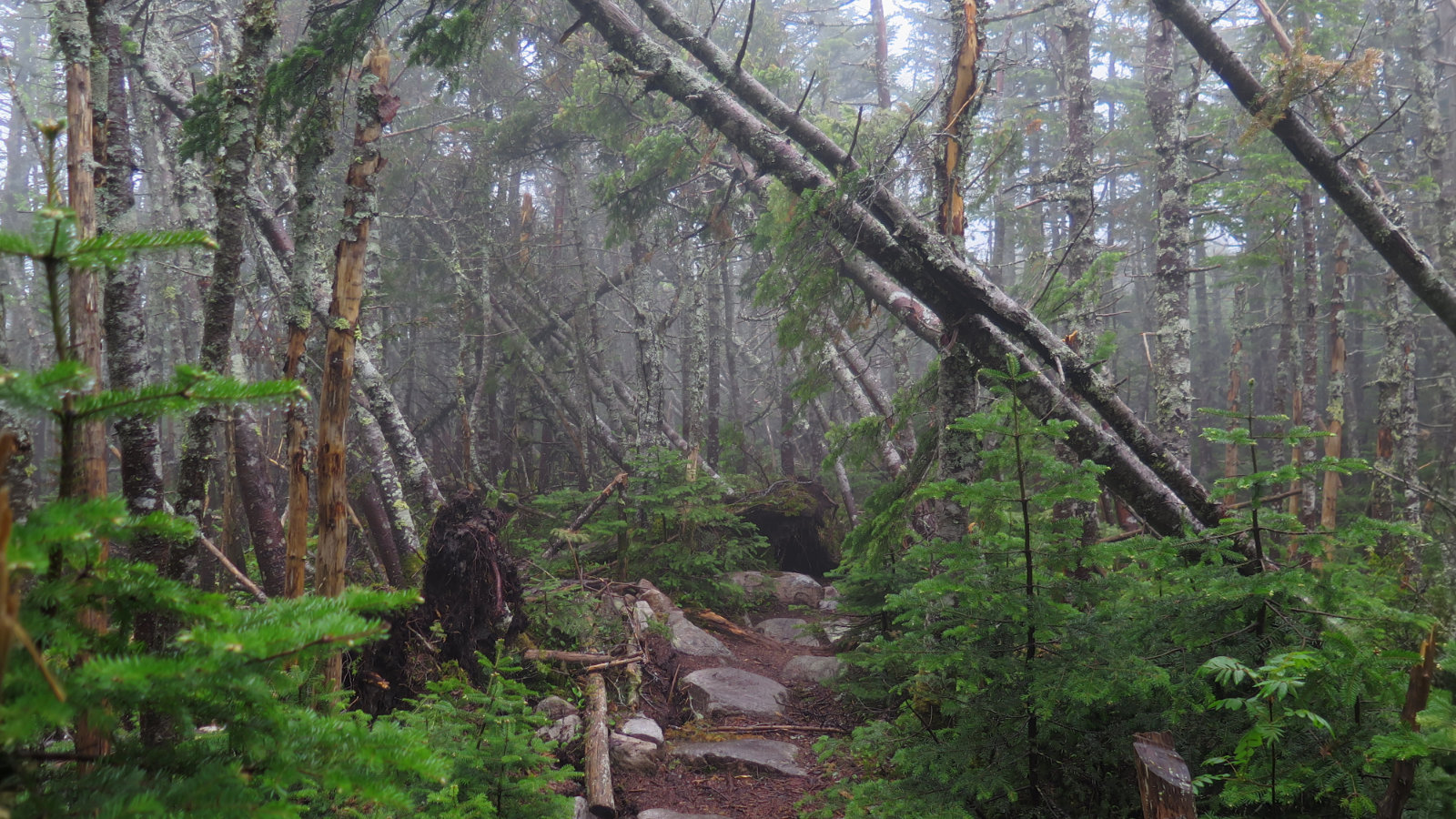
Via Avalon Trail, A-Z Trail, Willey Range Trail, Approx 10.6 miles. 25 dF +/- at the trailhead, 20 dF at Mt Field summit, with negligible winds. Cloudy, with some fog. Trailhead: 0940; Mt Tom Summit: 1215; Mt Field Summit: 1330; Mt Willey Summit; 1430; Mt Avalon Summit: 1600; back at car: 1655. (Approx. 7.25 hours.) What is the sound of solitude? Considering what I was hoping for, I got a […]
A perfect day for two! Mt Liberty and Mt Flume, Lincoln, NH. 2018-10-10. (Wednesday) Via Whitehouse Trail, Liberty Springs Trail, Franconia Ridge Trail. Approx 8.7 miles. 60 dF +/- at the trailhead, 70 at the summit. Clouds giving way to partial sunshine. Wind at summit was 2-4 knots. Just enough to keep the humidity in abeyance. Trailhead: 0900; Liberty Summit: 1145; Flume Summit: 1300; Liberty Summit redux: 1400; back at […]
Looking out, and looking back at hiking the New Hampshire forty-eight 4,000 footers.
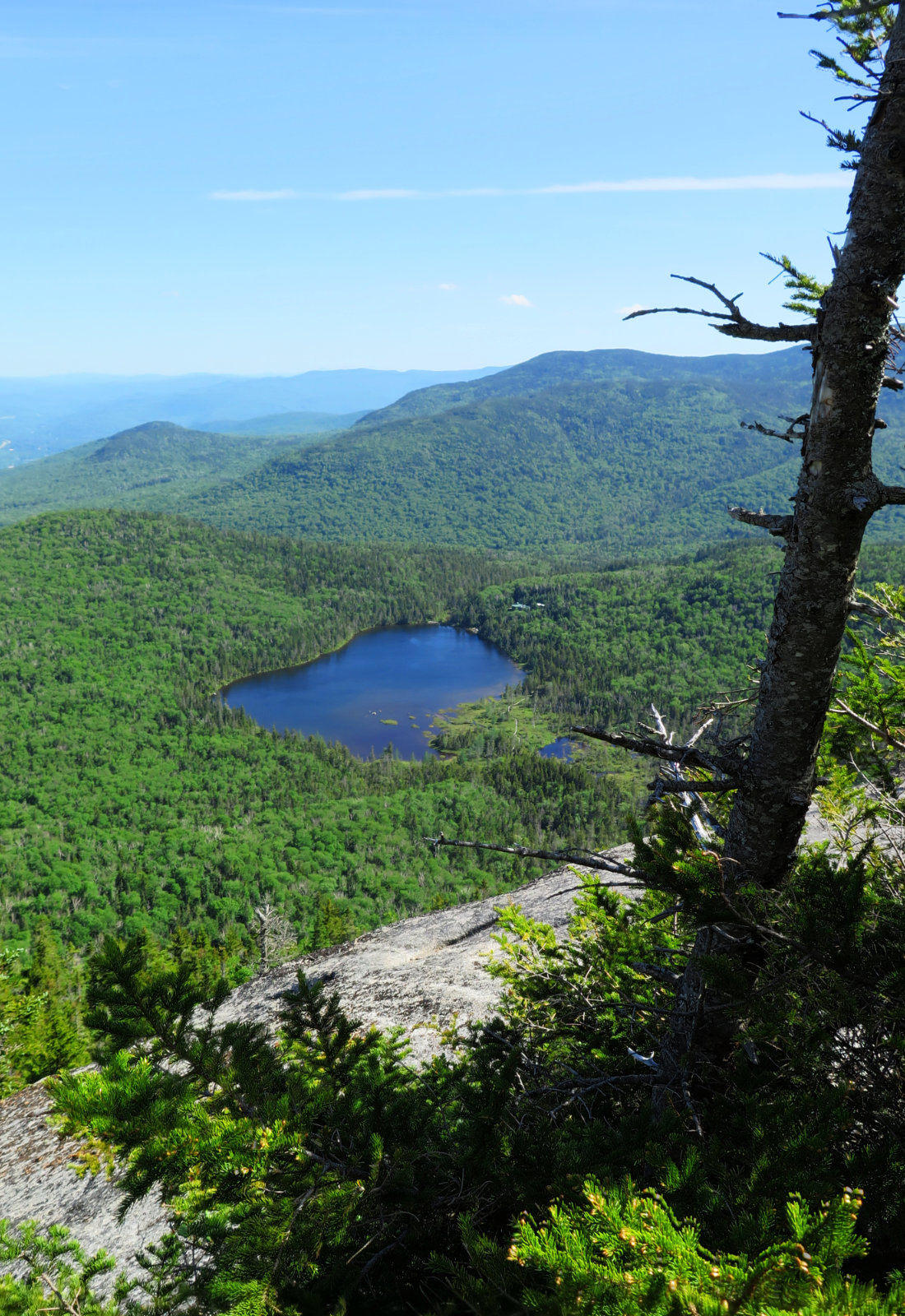
And then, there were none! North and South Kinsman Mountain (4,293 and 4,658 feet, respectively), Cannon Mountain (4,100 feet). Franconia, NH. With a crossing over the Cannonballs. 60 dF at trailhead, approx 70 dF at summits. Cloudy to start, giving way to mostly sunny skies and 20-30 miles visibility. Very windy at Cannon summit — approximately 25-30 MPH. Via Lonesome Lake, Fishin’ Jimmy, Kinsman Ridge, and Hi-Cannon trails. Trailhead: 0745. […]
Short, hard, but sweet! (Yet hazy!) Mt Moosilauke. Approx 9 miles. 4,802 feet. 60 dF at trailhead, approx 60 dF at summits, 30 MPH winds above tree line. Sunny throughout, with a hazy overcast sky. Visibility approx 10 miles, max. Very windy at the summit — approximately 25-30 MPH. Trailhead: 0900. Summit: 1115. Car: 1330. This couldn’t have been more straightforward. Hike Glencliff trail up and down. It’s not “hard” […]
It was a long, hard day. Mt Jefferson, Mt Adams, Mt Madison. 2018-06-16 (Saturday.) Via the Sylvan Way, Amphibrach, Randolph Path, Jefferson Loop, Gulfslide Trail, and Valley Way. Approx 14 miles. Jefferson 5,716 ft, Adams 5,799 ft, Madison 5,366 ft. 60 dF at trailhead, approx 60 dF at summits, 30 MPH winds above tree line. Sunny throughout, with a bit of hazy overcast sky. Trailhead: 0930. Jefferson summit: 1415. Adams […]
A trio with twins? North and South Twin Mountain, Guyot, and West Bond Mountain. 2018-06-14 (Thursday.) Via the North Twin trail, North Twin spur, Twinway, Bondcliff trail, and West Bond spur. Approx 18 miles. North Twin, 4761 ft; South Twin, 4902 ft; Guyot, 4580 ft; West Bond, 4540 ft. 60 dF at trailhead, approx 50 dF at summits, 30-35 MPH winds, mediated by consistent tree cover on the trails. Mt […]
Dynamic Duo! Oh wow, yeah, dynamic. Mt Cabot and Mt Waumbek. 2018-06-12 (Tuesday.) Via the York Pond trail, Bunnell Notch trail, Killkenny Ridge trail, also the Starr-King trail. Approx 17 miles. Cabot, 4170; Waumbek, 4006 feet. 60 dF at Cabot trailhead, low 70s at the summits. Sunny, becoming partly cloudy in the afternoon. 25 MPH winds, mediated by consistent tree cover. Cabot trailhead: 0900. Cabot Summit: 1135. Car: 1330. Waumbek […]
Simple, Sublime, Satisfying. Short and sweet. Mt Hancock and South Hancock. 2018-06-07 (Thursday.) Via the Hancock Notch trail, Cedar Brook trail, Hancock Loop trail.. Approx 10 miles. North Hancock, 4420; South Hancock, 4319 feet. 65 dF at trailhead, cooler at the summit. Cloudy, becoming partly cloudy in the afternoon. Trailhead: 1200. North Hancock Summit: 1450. South Hancock Summit: 1540. Car: 1730. It was an inauspicious start. I’d slept through my […]
