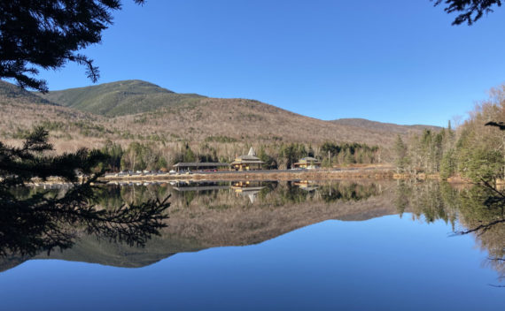
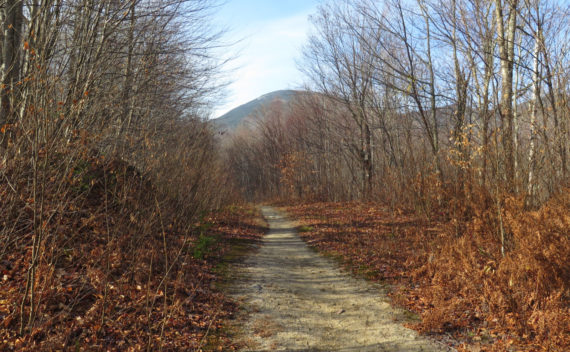
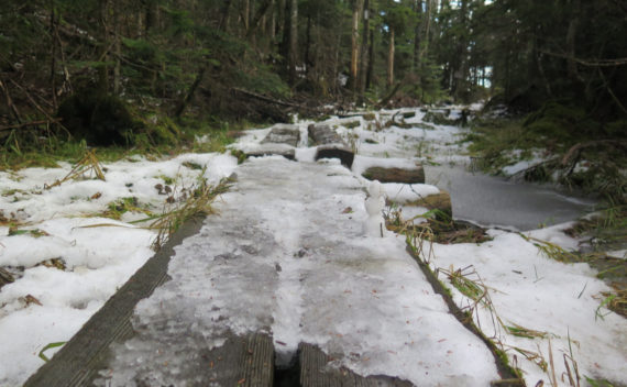
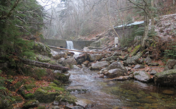
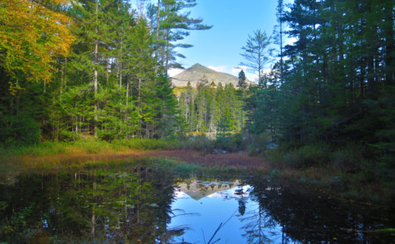
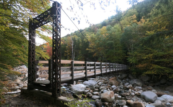
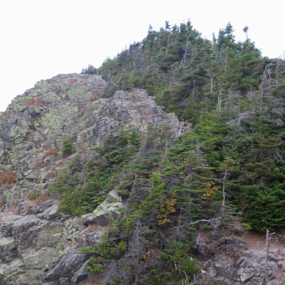
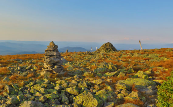
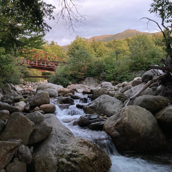
A quick teaser, just to let everyone know how awesome today was on a trip to the southern Presidential mountains. Wow!
The 48
I’ve now done this in all four seasons. So what keeps bringing me back? Wow, let me enumerate all those reasons, right? No, it’s too much. Let me sum up…
Mt Moriah (4,049 feet). Gorham, NH. 2020-11-05 (Thursday.) Via Stony Brook, and Carter-Moriah Trails, and the summit spur. 10 miles round-trip, approx 3,100 feet elevation gain. 45 dF at the trailhead, 60 dF at the summit. Winds were negligible in the trees, about 10-15 knots at the summit. Sun, with a few clouds throughout. (Note: MW-Obs called for winds of 45-65 MPH with gusts up to 80 MPH on the […]
Early season snow can add a challenge to any hike. When you’re doing a 4,000 footer near the Presidential Range, weather becomes a bigger question.
Getting to the Rainbow Trail isn’t necessarily easy. But it’s so worth it.
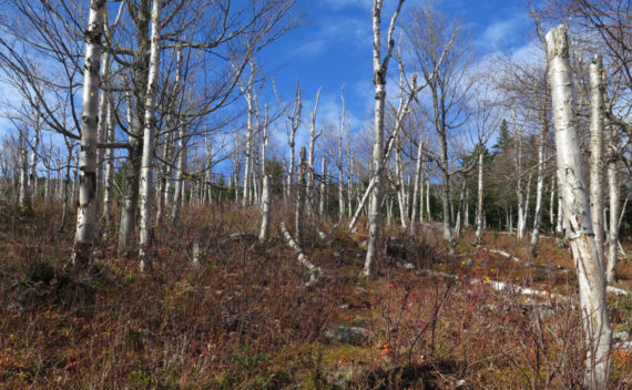
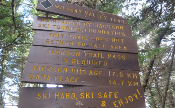
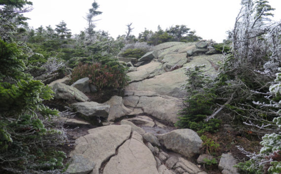
Wildcat Mountain D & A (4,062 and 4,422 feet, respectively). Jackson, NH. 2020-10-14 (Wednesday). Via Wildcat Valley X-C Ski Trail, Wildcat Ridge Trail, 19 Mile Brook Trail, Wildcat River Trail, Bog Brook Trail.. Approximately 12 miles round-trip. (NB: The 12 mile number is from Gaia GPS, and I’m fairly certain that it draws mileage from a 2-D model, not taking elevation into account. This is especially significant where Wildcat A […]
It was cold, and the view from the top wasn’t great. But that’s not why we go out and hike, right?
Hiking Owl’s Head “by the book” is not very easy. Throw two bushwhacks into the mix, and you get something that’s quite a bit easier. Wait… what?!
Most people hike Mt Isolation from the east, crossing Rocky Branch half a dozen times. But what about the west side, by the Dry River Trail?
As dangerous as it is, Flume Slide Trail has some excitement, for sure. Tripyramid obviously wins for views, but there are many reasons to hike a trail.
Hiking up Adams can be straightforward, if you want it to be. But adding some complications can create a more sophisticated route. A more straightforward trail might not have as much to discover.
Mt Washington (6,288 feet), Mt Clay (5,533 feet), Mt Jefferson (5,716 feet). Coos County, NH. 2020-09-03 (Thursday.) Via Jewell, Gulfside, Westside, Trinity Heights Connector, Jefferson Loop, Clay Loop, Jewell Link. Approx 14-16 miles round-trip. Temps ranged in the low to high 50s, and into the low 60s throughout the day, and depending on mountain. Winds were negligible, about 2-3 knots at the Mount Washington Observatory. Sunny with clouds in the […]
