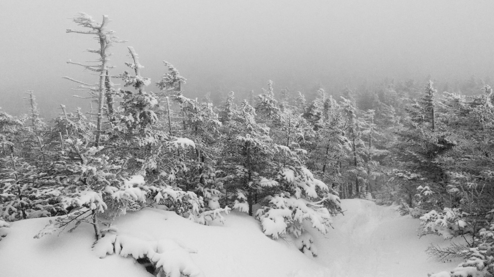
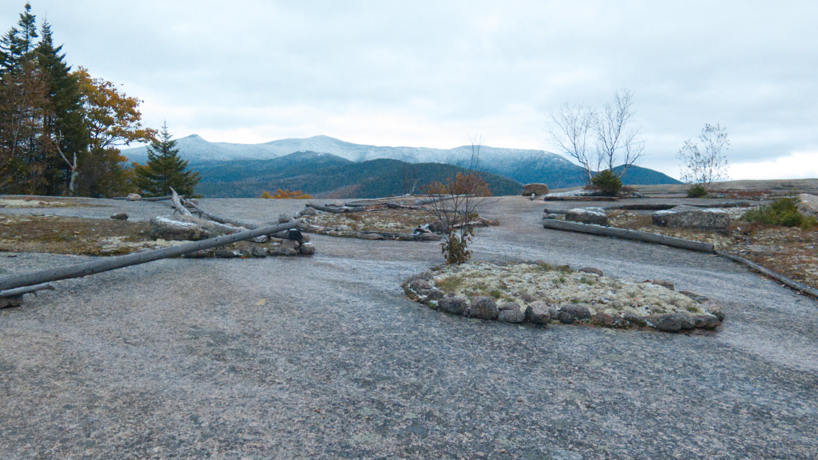
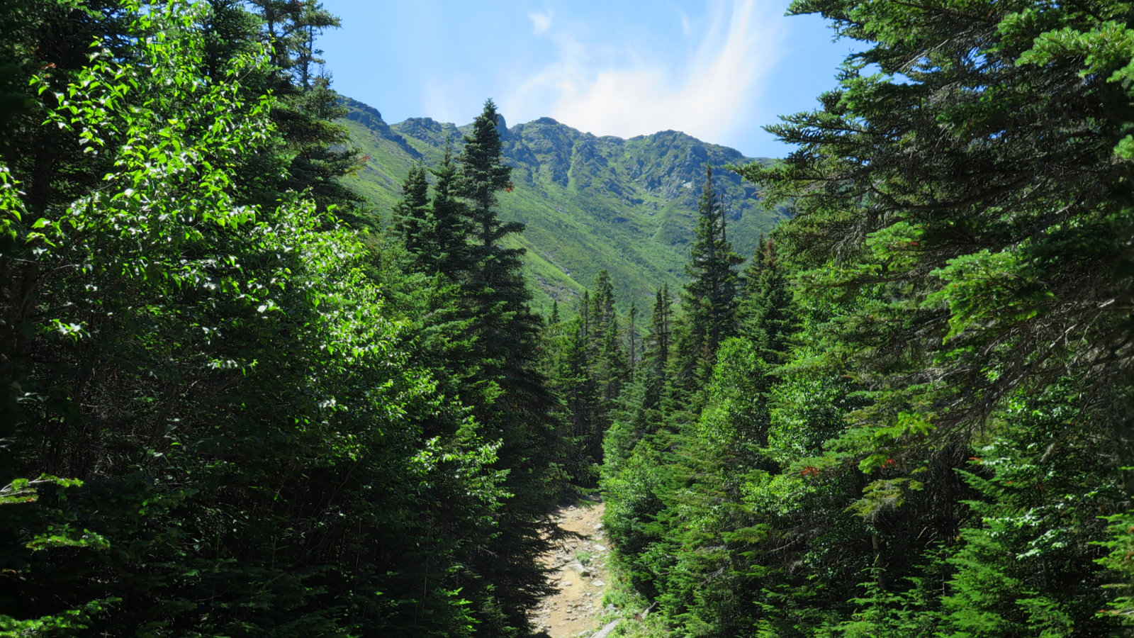
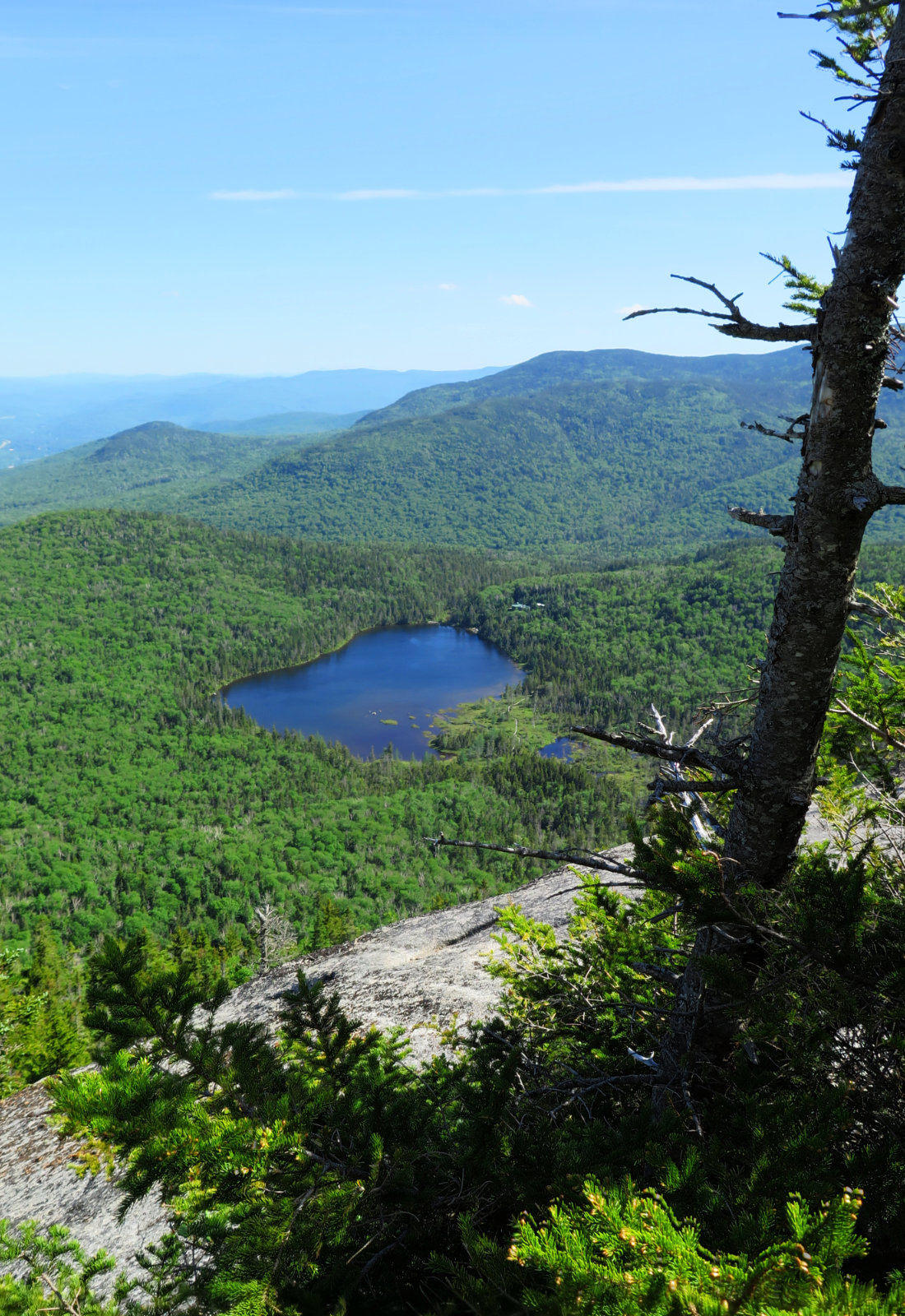
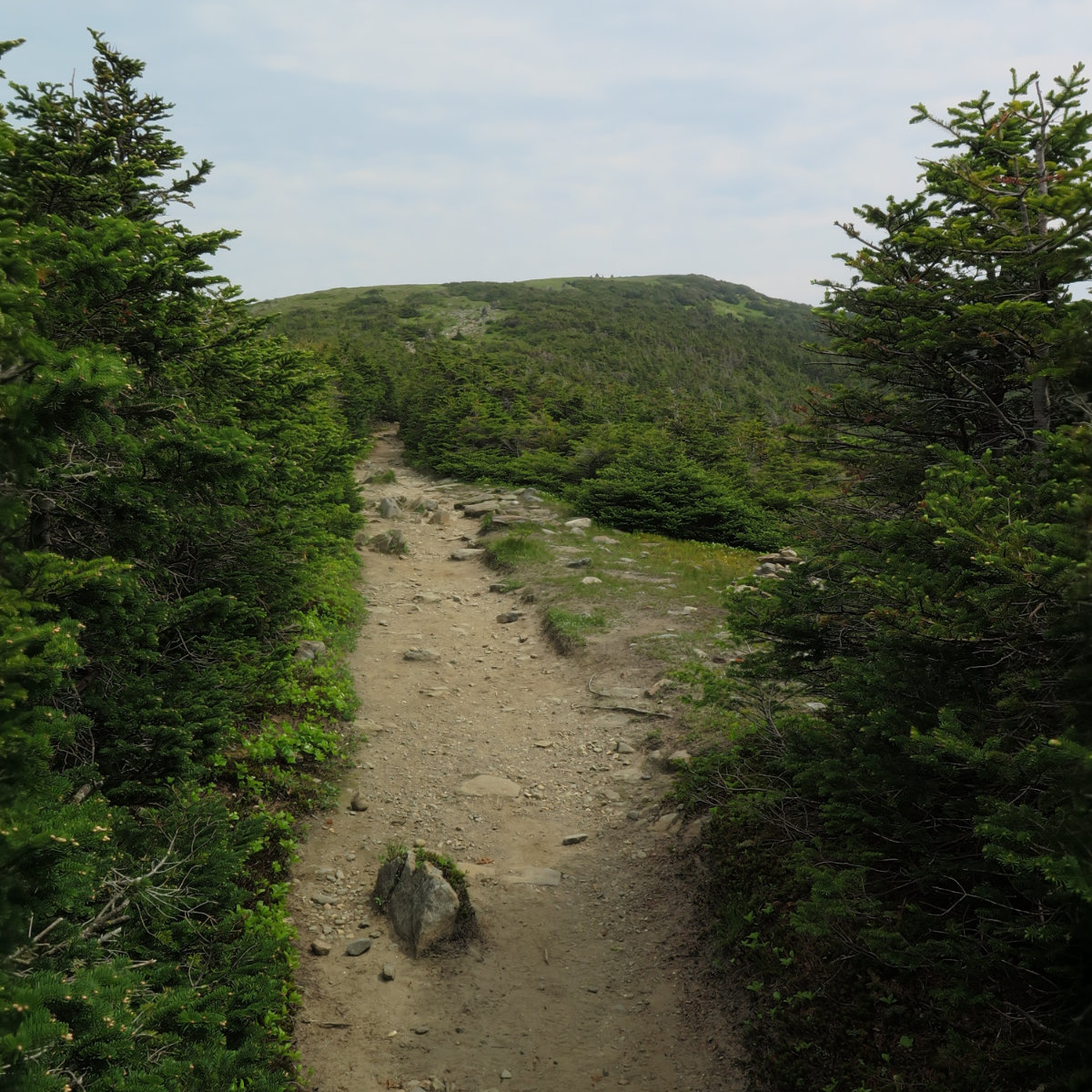
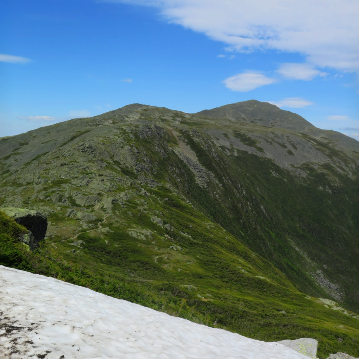
Via Avalon Trail, A-Z Trail, Willey Range Trail, Approx 10.6 miles. 25 dF +/- at the trailhead, 20 dF at Mt Field summit, with negligible winds. Cloudy, with some fog. Trailhead: 0940; Mt Tom Summit: 1215; Mt Field Summit: 1330; Mt Willey Summit; 1430; Mt Avalon Summit: 1600; back at car: 1655. (Approx. 7.25 hours.) What is the sound of solitude? Considering what I was hoping for, I got a […]
White Mountains
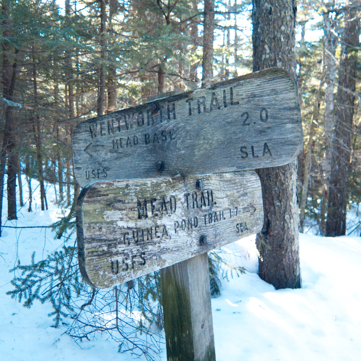
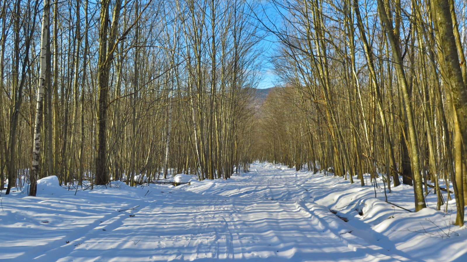
Wow, what a winter wonderland! Israel Mountain, Sandwich, NH. 2018-12-12 (Wednesday) Via Wentworth Trail. 22 dF. Sunny. Light wind, approx 5-10 MPH. 41.5 avg % RH, 7.3 dF avg dew point. 27.92 mm Hg. Trailhead: 1200; Summit: 1345; back at car: 1500. It was a great day to be outside. The weather felt a little warmer than the other day. I’m speculating it’s because the air felt less raw. Either […]
Short and sweet, but wow, what a view! Stinson Mountain, Rumney, NH. 2018-12-10 (Monday) Via Stinson Mountain Trail, including the snow machine loop. 25 dF at the trailhead, 18 dF at the summit. Mostly sunny. Light wind, approx 5-10 MPH. 55% RH, 4 dF dew point. 26.68 mm Hg. Trailhead: 1115; Summit: 1230; back at car: 1330. In terms of efficiency, I have no rational defense: I drove much more […]
What a view! Jennings Peak, Waterville Valley NH. 2018-11-08. (Thursday) Jennings Peak, 3,440 feet. Via Sandwich Mountain Trail, Drake’s Brook Trail.. Approx 5.5 miles, 4 1/4 hours. 40-45 dF. Sunny, then Overcast. Negligible wind. This one goes head to head with Welch Dickey. The only reason the other will win is because W-D is lower, and hence, more accessible. Fair enough. But this one isn’t that tough. Only a modestly […]
Legendary views from legendary ledges! Welch Mountain, 2,605 ft; Dickey Mountain, 2,734 feet. Thornton/Waterville Valley, NH. 2018-10-25. Via Welch-Dickey Loop Trail. Approx. 4.4 miles. 29 degrees, light breeze. Cloudy with a descending ceiling. Occasional light glaze of ice on the trail. It’s a classic. An easy loop that’s admired by so many. And when you’re in the thick of it, you know why. There’s nothing hard about this 4 mile […]
A perfect day for two! Mt Liberty and Mt Flume, Lincoln, NH. 2018-10-10. (Wednesday) Via Whitehouse Trail, Liberty Springs Trail, Franconia Ridge Trail. Approx 8.7 miles. 60 dF +/- at the trailhead, 70 at the summit. Clouds giving way to partial sunshine. Wind at summit was 2-4 knots. Just enough to keep the humidity in abeyance. Trailhead: 0900; Liberty Summit: 1145; Flume Summit: 1300; Liberty Summit redux: 1400; back at […]
A Mountain of Mica in Maine. Old Speck; 4,170 feet. Grafton Notch State Park, near Bethel, ME. 80 dF at trailhead, 75 dF at summit. Sunny/hazy skies and 50 miles visibility. 5-10 MPH breezes on summit tower. Via the Old Speck trail. Trailhead: 1010. Summit: 1300. Left summit: 1330. Car: 1600. Approximately 9 miles. Although I’ve been to Maine many times, this was my first time actually hiking there. Oddly, […]
A peak was sought. And so much more was found. Mt Washington; 6288 feet. Sargent’s Purchase, NH 80 dF at trailhead, 75 dF at summit. Sunny/hazy skies and 50 miles visibility. Very light intermittent breezes at summits — approximately 2-4 MPH. Via the Tuckerman Ravine trail, and Lion Head trail. Trailhead: 1230. Summit: 1530. Left summit: 1600. Car: 1830. Approximately 9 miles. I’m a sucker for a good cause. Given […]
The AMC is discontinuing the WMG Online site as of the end of September. Currently, they’re no longer accepting new subscriptions. If you have saved routes, they’ll continue to be accessible until the end of September, but expect them to be gone after that. Similarly, if you were thinking about a trip, time to start drawing up and exporting maps. Current subscribers will get prorated refunds as appropriate. Right now, […]
And then, there were none! North and South Kinsman Mountain (4,293 and 4,658 feet, respectively), Cannon Mountain (4,100 feet). Franconia, NH. With a crossing over the Cannonballs. 60 dF at trailhead, approx 70 dF at summits. Cloudy to start, giving way to mostly sunny skies and 20-30 miles visibility. Very windy at Cannon summit — approximately 25-30 MPH. Via Lonesome Lake, Fishin’ Jimmy, Kinsman Ridge, and Hi-Cannon trails. Trailhead: 0745. […]
Short, hard, but sweet! (Yet hazy!) Mt Moosilauke. Approx 9 miles. 4,802 feet. 60 dF at trailhead, approx 60 dF at summits, 30 MPH winds above tree line. Sunny throughout, with a hazy overcast sky. Visibility approx 10 miles, max. Very windy at the summit — approximately 25-30 MPH. Trailhead: 0900. Summit: 1115. Car: 1330. This couldn’t have been more straightforward. Hike Glencliff trail up and down. It’s not “hard” […]
It was a long, hard day. Mt Jefferson, Mt Adams, Mt Madison. 2018-06-16 (Saturday.) Via the Sylvan Way, Amphibrach, Randolph Path, Jefferson Loop, Gulfslide Trail, and Valley Way. Approx 14 miles. Jefferson 5,716 ft, Adams 5,799 ft, Madison 5,366 ft. 60 dF at trailhead, approx 60 dF at summits, 30 MPH winds above tree line. Sunny throughout, with a bit of hazy overcast sky. Trailhead: 0930. Jefferson summit: 1415. Adams […]
